Home / Kentucky / Mammoth Cave & South-Central Kentucky / Mammoth Cave National Park
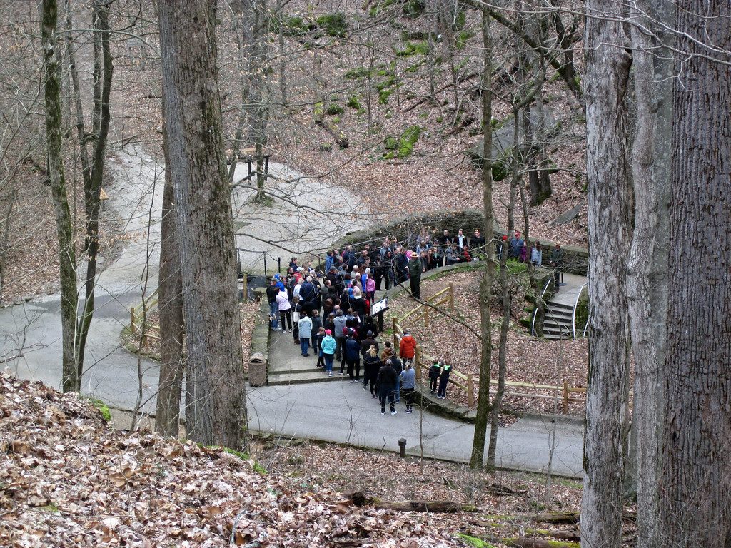
A tour group gathers on the paved path and stairs leading down through bare winter woods to the Historic Entrance of Mammoth Cave.James St. John / CC BY 2.0 via Flickr
🏜️Geological

Mammoth Cave National Park

Part ofMammoth Cave & South-Central Kentucky

The longest known cave system on earth, mapped first by Stephen Bishop and the enslaved guides who made its routes, with Archaic miners' traces 4,000 years older.

⏱
Duration
Half a day for one tour and the Historic Entrance; a full day or two to see several routes and the Green River.
🎟
Admission
No entrance fee; cave tours are ticketed and many sell out in summer.
📅
Best Season
Year round; the cave holds near 54 degrees whatever the season. Spring and fall are quieter above ground.

The Story

People were walking these passages long before anyone wrote the cave down. The Park Service dates exploration of Mammoth Cave to between 5,000 and 4,000 years ago, when Late Archaic and Early Woodland people carried bundles of river cane as torches and scraped gypsum, mirabilite and epsomite from the walls with mussel shells from the Green River. Mining went on for centuries and faded after about 200 BCE. Seven nations are traditionally affiliated with the park, among them the Cherokee, Shawnee and Chickasaw, and the dead found in the cave have been laid to rest away from the tour routes after consultation with them.

The next miners were enslaved. During the War of 1812, enslaved men dug cave earth for saltpeter, and about 400,000 pounds of it went into gunpowder. In 1838 the lawyer Franklin Gorin brought a seventeen-year-old enslaved man named Stephen Bishop to guide visitors, then sold the cave, and Bishop with it, to John Croghan in 1839. Bishop crossed the Bottomless Pit, found River Styx and Echo River, and in 1842 drew a map that was printed and used for decades. Mat and Nick Bransford guided beside him. Croghan's will freed Bishop and his wife Charlotte in 1856; he died the next year and is buried near the cave under a secondhand Civil War headstone that calls him its first guide and explorer.

The Bransfords guided for four generations, until the Park Service took over in 1941 and kept no Black guides. Mat's great-great-grandson Jerry Bransford came back as a ranger in 2004. Tours still walk the routes Bishop opened.

Visitor Info

⏱
Time Needed
Half a day for one tour and the Historic Entrance; a full day or two to see several routes and the Green River.
🎟
Admission
No entrance fee; cave tours are ticketed and many sell out in summer.
📅
Best Season
Year round; the cave holds near 54 degrees whatever the season. Spring and fall are quieter above ground.
🛣️
Highway
KY 70 / KY 255 (I-65 exits 53 and 48)

On the Map

Nearby

The closest stops worth working into your route

geological11 mi away
Hidden River Cave and the American Cave Museum
A cave under Main Street in Horse Cave that the town's sewage killed and a regional treatment plant brought back, now home to the American Cave Museum.
cultural20 mi away
National Corvette Museum
The Corvette's museum beside the only plant that builds it, best known for the 2014 sinkhole that opened under its yellow Skydome and swallowed eight cars.
geological26 mi away
Lost River Cave
A karst valley and underground river inside Bowling Green, with 10,000 years of human use, an old mill site, a 1930s nightclub at the cave mouth and a boat tour.
historical31 mi away
Abraham Lincoln Birthplace National Historical Park
The Sinking Spring farm south of Hodgenville where Abraham Lincoln was born in 1809, and the 1911 granite memorial built around a symbolic log cabin.
historical37 mi away
Shaker Museum at South Union
The longest-lived western Shaker village, 1807 to 1922: pacifists and abolitionists between two armies, and a community burned for hiring freedmen.
recreational37 mi away
Rough River Dam State Resort Park
The resort park at the Corps of Engineers dam on the Rough River, with a lakeside lodge, a fly-in campground and a 39-mile lake reaching into three counties.

Historical markers nearby

Roadside plaques and monuments within a short detour

Marker7.2 mi away
Bell's Tavern
Park City
Marker8.5 mi away
Chameleon and Chalybeate Springs
Chalybeate Springs
Marker8.5 mi away
Cave City Raid
Cave City
Marker9.2 mi away
Brownsville
Brownsville
Marker11 mi away
Lt. Charles Moran-USAF
Horse Cave
Marker12 mi away
Battle of Rowletts Station
Munfordville