 NPS / public domain
The Story
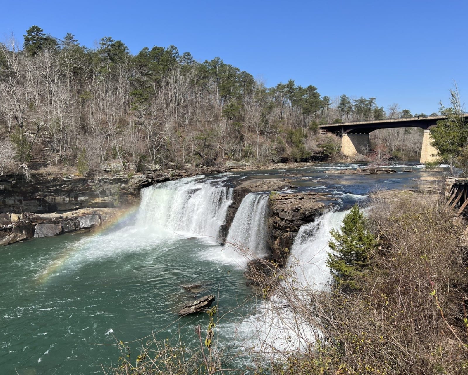
Little River is the only river that forms and flows for nearly its whole length on top of a mountain. It gathers on Lookout Mountain, drops over Little River Falls beside the Highway 35 bridge, and then cuts a gorge about 18 miles long and as much as 600 feet deep before it leaves the mountain at Canyon Mouth. This was Cherokee country. The Treaty of New Echota, signed in 1835 by a small faction the Cherokee Nation never authorized, took DeKalb and Cherokee counties, and in 1838 federal troops gathered the families who refused to leave for the Trail of Tears.
Settlers called the gorge May's Gulf. In 1939 it was joined to DeSoto State Park and renamed, though Alabama Power still owned much of the land. G. E. Hill, a DeKalb County commissioner, spent some thirty years pressing for a road, and in June 1954 people from both counties met at Eberhart Point to dedicate a paved rim drive of about 16 miles. Congress made the canyon a national preserve on October 21, 1992, which is why hunting is still allowed in the backcountry north of the gorge.
Start at the Little River Canyon Center, which Jacksonville State University opened in 2007, then the falls boardwalk and the overlooks along Highway 176. The endangered green pitcher plant and Kral's water-plantain grow here, and the blue shiner swims the river. Below the falls the rapids run Class IV to VI, for experts only.
Visitor Info
On the Map
Nearby
The closest stops worth working into your route
Historical markers nearby
Roadside plaques and monuments within a short detour