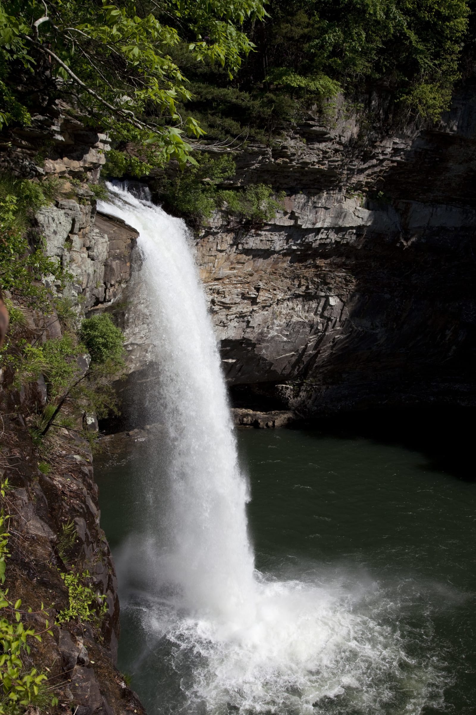
 Carol M. Highsmith / public domain via Library of Congress
The Story
The park sits on the ridge of Lookout Mountain eight miles northeast of Fort Payne, on land that was Cherokee homeland until the removal of the 1830s. Its name comes from a local story that Hernando de Soto passed this way in 1540 or 1541; most historians put his route well to the south. More certain is that Union cavalry camped near the falls in 1863 on the march toward Chickamauga.
The state set the park aside in 1934, and the Civilian Conservation Corps built most of what stands: the lodge, rustic log cabins and other buildings, from stone cut on park property. Drill marks still show on rocks near the old quarry, reached by the White Trail from the store. The park was dedicated in 1939, when the canyon to the south was folded into it for a time. In 2013 the CCC Museum opened in the Corps-built contact station at the original entrance, telling the young men's work across Alabama's parks.
The main park covers about 3,500 acres of forest along the West Fork of Little River, with rhododendron and mountain laurel thick on the creek banks and more than 35 miles of trail. DeSoto Falls, 104 feet and the tallest waterfall in the state, is on a separate parcel about six miles north near Mentone, a short paved walk from its lot. GPS directions here are unreliable; follow the park's written route.
Visitor Info
On the Map
Nearby
The closest stops worth working into your route
Historical markers nearby
Roadside plaques and monuments within a short detour