 Christian David / CC BY-SA 4.0 via Wikimedia Commons
The Story
Kayenta — Tó Dínéeshzheeʼ in Diné Bizaad, "fingers of water," for the way rain runs down the sandstone in channels — is the town most Monument Valley visitors pass through without quite seeing. It sits where US-160 meets the foot of US-163, about twenty-five miles south of the buttes: the last real supply stop before the Utah line, with a grocery, gas, a cluster of motels, and a Wednesday flea market where the fry bread costs a dollar. It is also, quietly, a milestone of Diné self-rule. Chartered in 1986, Kayenta Township is the only township on the entire Navajo Nation — the one community on Diné Bikéyah that governs itself through its own elected town board, an experiment in local sovereignty on land the nation holds in common.
The town keeps a harder story too. In an unassuming building off the main road, a small museum holds the record of the Navajo Code Talkers — the Diné Marines who turned their own language into the only code the Japanese never broke. The first twenty-nine built it in 1942 out of Diné Bizaad, an unwritten language so intricate that outsiders could not even write down what they heard; some four hundred men served before the war ended. In the first two days of Iwo Jima, six of them passed more than eight hundred messages without an error, and the Marine signal officer said plainly that without the Navajos the island would never have been taken. The arithmetic deserves to be stated straight: this was the same language federal boarding schools had punished Diné children for speaking, now winning a war for a country that still would not let those same men vote.
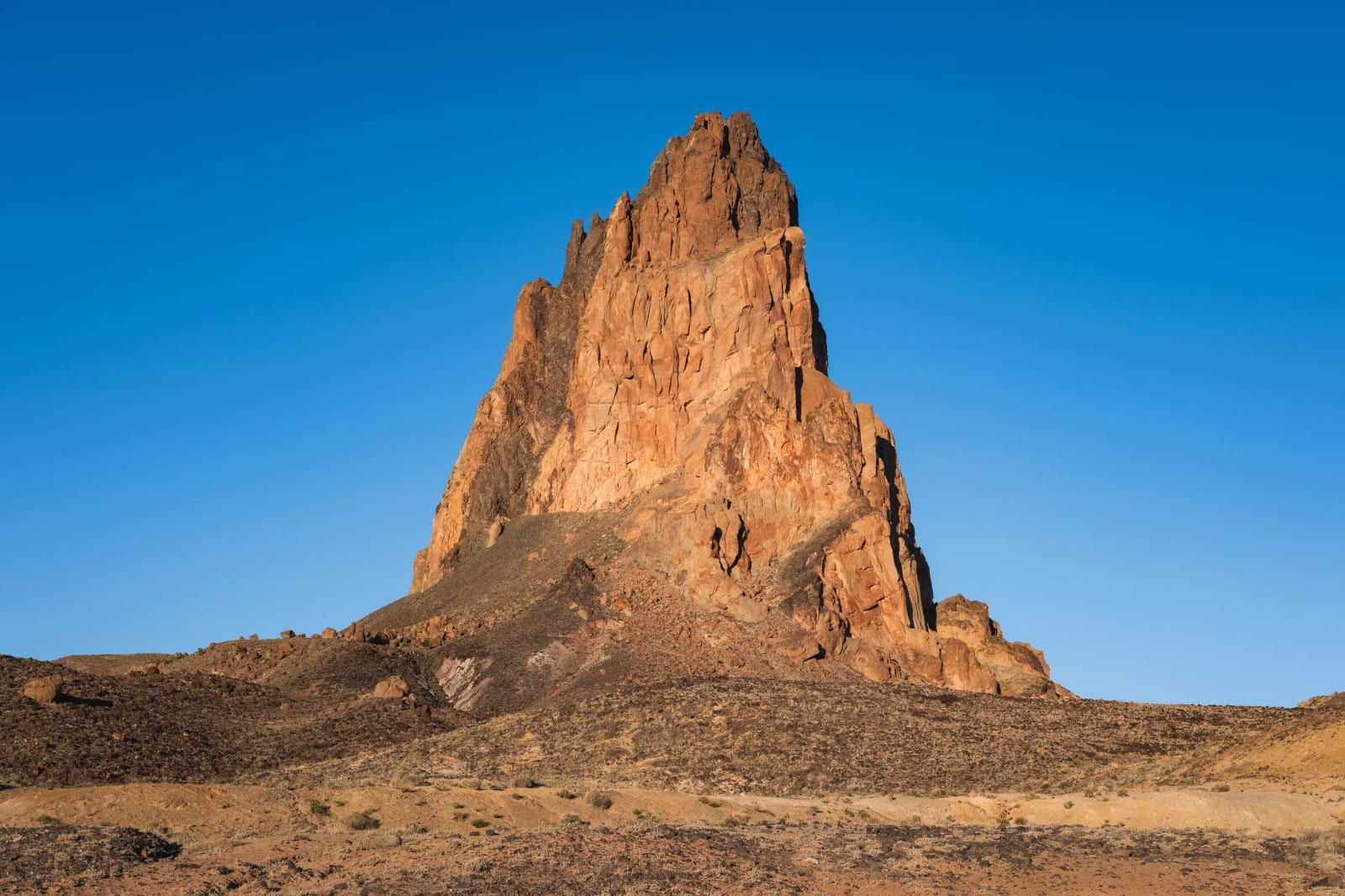
North of town, US-163 aims for the buttes past Agathla Peak — Aghaałą́, "much wool" — a black volcanic neck rising fifteen hundred feet off the red floor, sacred to the Diné: the hardened throat of a volcano left standing after the softer ground around it wore away. The Navajo Nation keeps Daylight Saving Time though the rest of Arizona does not, so the clock jumps an hour when you cross onto the reservation, and no one sells alcohol here. From Kayenta the road runs north into Monument Valley and over the line into Utah.
Visitor Info
On the Map
Nearby
The closest stops worth working into your route
Historical markers nearby
Roadside plaques and monuments within a short detour