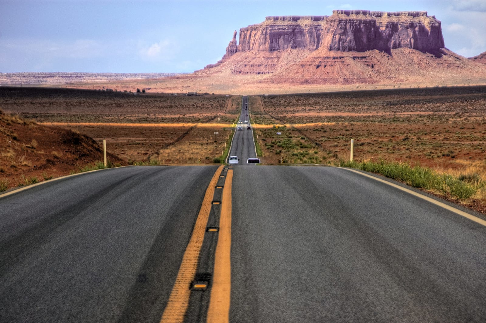
U.S. 163: The Monument Valley Crossing
Sixty-eight miles up US-163 out of the Navajo Nation — from Kayenta and the Code Talkers past sacred Agathla and the buttes the world mistakes for the West, across the reservation's edge into Utah's free-roaming canyon country.
The Route at a Glance
US-163 does not begin as a scenic drive. It begins as Main Street. At Kayenta — Tó Dínéeshzheeʼ, the only township on the Navajo Nation and the town that keeps the Navajo Code Talkers' story — the highway is a working street of fuel stops and grocery runs before it turns north and empties into open country. Everything from here to the far side of the valley is Diné Bikéyah: this is not a park you enter but a nation you drive across, and that distinction is the whole point of the road.
Seven miles out, Agathla Peak throws up its dark silhouette east of the pavement — Aghaałą́, "much wool," a fifteen-hundred-foot volcanic neck the Diné hold sacred, the hardened throat of a volcano left standing after everything softer washed away. Beyond it the sandstone takes over and the buttes gather on the horizon. This is the country the outside world assumes it already knows: John Ford filmed it into shorthand for the American frontier, and a running man in a movie stopped at one pull-out and sent a generation to photograph the same vanishing point. But Monument Valley is a Navajo Tribal Park, not a national one, and the Mittens standing off its floor are home ground, not a film set. The road lets you look; the land behind them is not yours to wander.
Then the lines — plural, and neither one marked. Somewhere in the valley the highway slips from Arizona into Utah without a sign; the Navajo Nation reaches across the state line, so nothing yet changes. The boundary that matters comes later, at the San Juan River. North of the water the reservation ends and the ground becomes federal public domain — BLM, state park, the recreational West, where alcohol reappears and the land stops being a homeland you cross with permission. At Mexican Hat, a town of thirty named for a balanced sombrero of stone, the road drops to the river and the character of the trip turns over completely.
North of the San Juan is canyon country you are free to roam. Valley of the Gods offers the same towering buttes with a dirt loop, no fee, and dispersed camping beneath them; Goosenecks drops a thousand feet to the river's coiled meanders; and the Moki Dugway claws up Cedar Mesa in eleven unpaved switchbacks with the whole crossing spread out behind you. US-163 ends a few miles on at Bluff, where it meets US-191. Sixty-eight miles, two invisible lines, and two different ideas of what a red-rock desert is for.
The Drive, Stop by Stop
7 stops along the route, in driving order from Kayenta, Arizona to Bluff, Utah. 4 of them sit off the road itself — the distance is noted on each.
- 1
- 2
- 3
- 4
- 5
- 6
- 7
That's the drive. Take your time, pull over often, and let U.S. 163: The Monument Valley Crossing do what it does best.
← Explore more of Open Road Guide