Home / Colorado / The San Juans & the Black Canyon / Ute Indian Museum
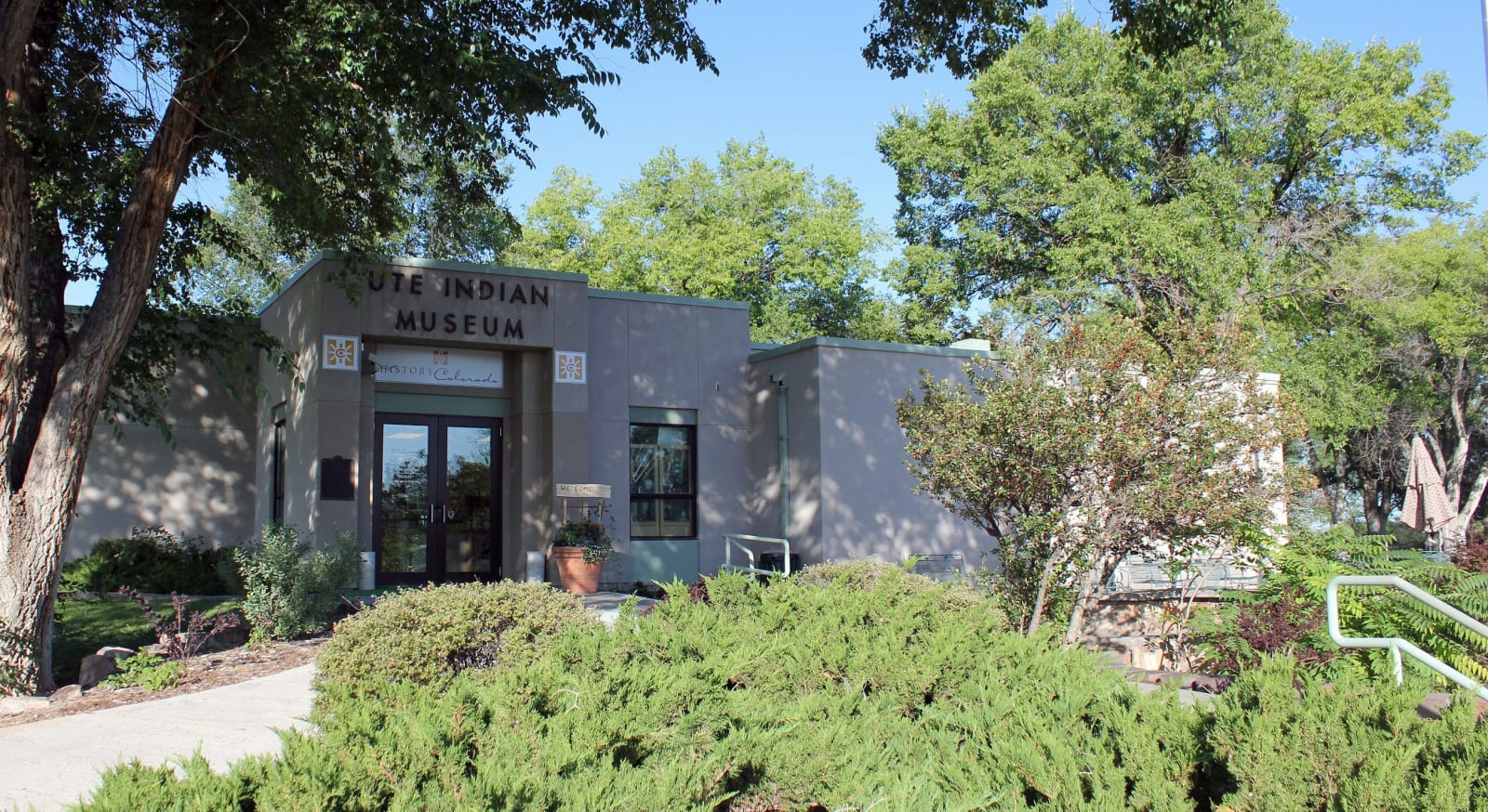
The Ute Indian Museum building in Montrose among trees and plantingsDenverjeffrey / CC BY 3.0 via Wikimedia Commons
🎭Cultural

Ute Indian Museum

Part ofThe San Juans & the Black Canyon

On the farm of Ouray and Chipeta: a spring the DAR roofed with a concrete tipi in 1924, Chipeta's grave of 1925, and a museum rebuilt with the three Ute tribes in 2017.

Year-RoundFamily-FriendlyNative American HeritagePaid Entry
⏱
Duration
An hour.
🎟
Admission
Paid.
📅
Best Season
Year-round.

The Story

In 1875 the federal government gave Ouray, the Uncompahgre Ute leader, and his wife Chipeta a farm of about 500 acres on the Uncompahgre River south of present-day Montrose. They lived here until the Uncompahgre Utes were marched to Utah in 1881. Ouray died in 1880, Chipeta on the reservation in Utah in 1924.

The memorial grew up afterward, in pieces. In 1924 the Daughters of the American Revolution built a concrete tipi over the spring the couple had used. In 1925 Chipeta's body was brought back from Utah and buried here in a crypt, with a procession reported to have stretched a mile. An obelisk to Ouray followed in 1926, and Chipeta's brother John McCook was buried beside her in 1937. The Colorado Historical Society hired the landscape architect Saco DeBoer to design a museum and grounds, and the museum opened in 1956 on about nine acres of the old farm.

In 2015 History Colorado closed it for a rebuilding planned with the Ute Mountain Ute Tribe, the Southern Ute Indian Tribe and the Ute Indian Tribe of the Uintah and Ouray Reservation, and it reopened in June 2017, its exhibits organized around places in Ute country and told as a living people's history rather than a vanished one. Among about 200 objects on display are a velvet dress of Chipeta's, a shirt of Ouray's, and things belonging to the Southern Ute leaders Ignacio and Buckskin Charley, alongside work by contemporary Ute artists. The flags of the three tribes fly out front.

Visitor Info

⏱
Time Needed
An hour.
🎟
Admission
Paid.
📅
Best Season
Year-round.
🛣️
Highway
US-550

On the Map

Nearby

The closest stops worth working into your route

natural13 mi away
Black Canyon of the Gunnison National Park
Two men on a rubber air mattress floated through in 1901 to prove a tunnel could be built, past a cliff that drops some 2,250 feet to the river.
historical37 mi away
Red Mountain Mining District
Three iron-red peaks above Red Mountain Pass, the 1882 Yankee Girl and its headframe, and a boom town that went up in five weeks in 1883.
historical38 mi away
Animas Forks
A silver camp at 11,200 feet where the Animas River's three forks meet, with the 1879 Duncan house and its bay window still standing on the Alpine Loop.
geological42 mi away
Grand Mesa
An old valley floor turned into a mountaintop by lava, holding more than three hundred lakes, with a road up its western cliffs built by veterans of the CCC.
historical66 mi away
Colorado National Monument
A homemade road of fifty-four switchbacks, then the CCC's Rim Rock Drive, nineteen years in the building and finished in 1950.
geological67 mi away
Dinosaur Hill
Where a Chicago museum's crew dug two-thirds of a sauropod in 1901, a few miles from the hill where they had found the first Brachiosaurus the summer before.