Home / Washington / North Sound & the San Juan Islands / Ebey's Landing
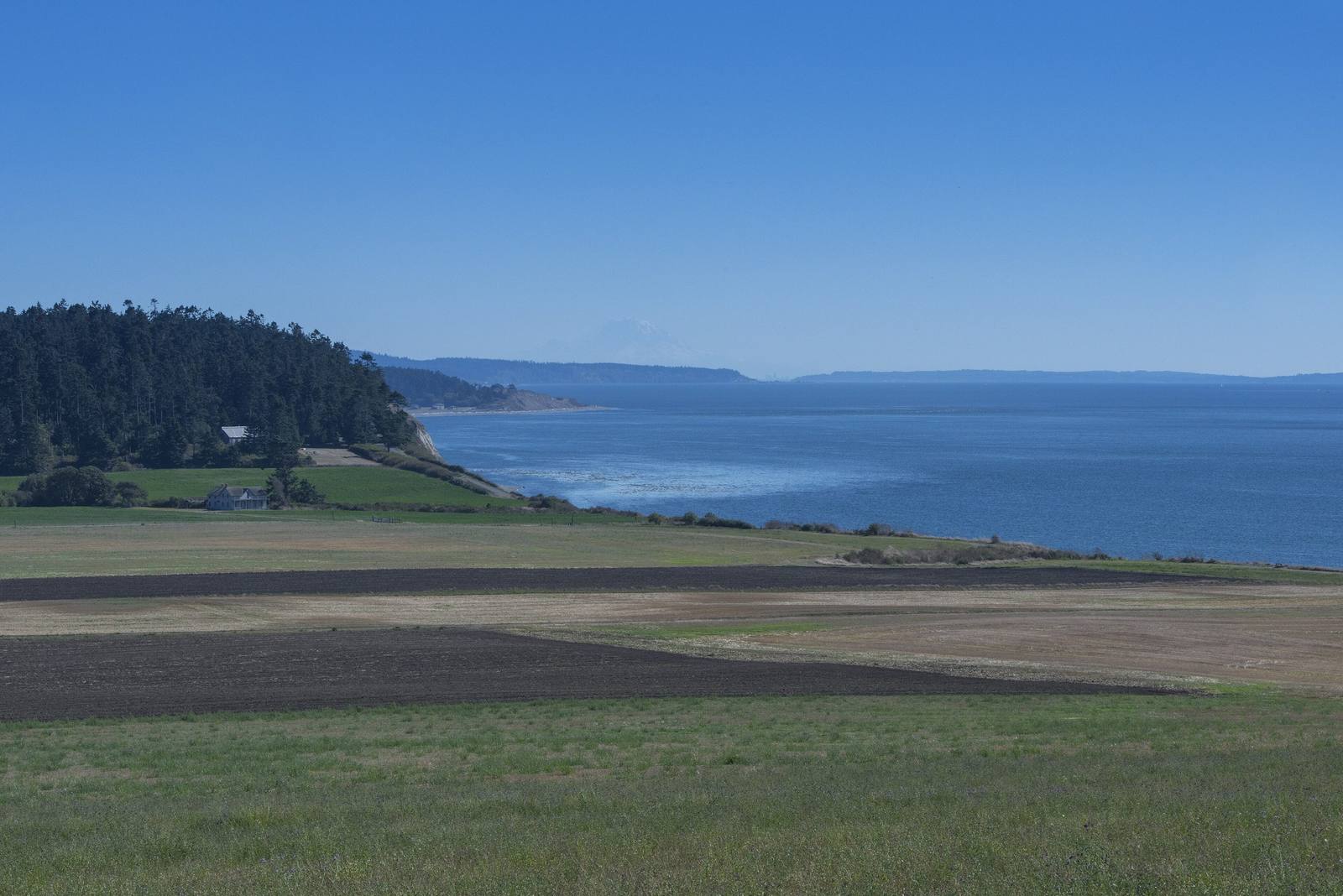
The open farm fields of Ebey's Prairie running to the bluff above the Strait of Juan de Fuca, the far shore fading into hazeKathleen Kitto / CC BY-SA 3.0 via Wikimedia Commons
🏛️Historical

Ebey's Landing

Part ofNorth Sound & the San Juan Islands

A bluff trail above the beach where, in August 1857, a Kake raiding party came ashore to answer the shelling of their camp at Port Gamble the year before.

Year-RoundNative American HeritageFreeHiking
⏱
Duration
Two to three hours for the bluff loop.
📅
Best Season
Year-round.

The Story

A trail climbs from the small beach at the end of Ebey Road onto a bluff that runs north above the Strait of Juan de Fuca, with the farms of Ebey's Prairie on one side and the Olympics across the water on the other. Isaac Ebey, one of the first Americans to file a claim on Whidbey, settled the prairie in 1850 and had his house just above this landing.

The landing is where a chain of reprisals came ashore. In the fall of 1856 the Navy steamer Massachusetts found a camp of northern raiders, Tlingit of the Kake people of southeast Alaska, near Port Gamble, across the water on the Kitsap side. When they refused to leave, the ship opened fire, and twenty-seven died, a chief among them. The next August a Kake party came south looking for a man of equal standing. On the night of August 11, 1857, they beached their canoes here, climbed the bluff, called Ebey out of his house, and killed and beheaded him; his wife and children got away to the blockhouse his father had built on the ridge. Kake tradition holds that a woman related to the dead chief led the raid. A Hudson's Bay Company captain recovered Ebey's head after a two-year search.

In August 2014 a Kake delegation came to Ebey's Prairie and walked this ground with the reserve's staff, and in 2024 the Navy formally apologized to the Kake for shelling and burning their villages in Alaska in 1869, another turn of the same cycle a dozen years on.

Visitor Info

⏱
Time Needed
Two to three hours for the bluff loop.
📅
Best Season
Year-round.
🛣️
Highway
SR-20

On the Map

Nearby

The closest stops worth working into your route

natural15 mi away
Deception Pass
A tide race between Whidbey and Fidalgo islands that fooled George Vancouver, and the 1935 bridge that finally tied Whidbey to the mainland.
historical33 mi away
English Camp
Twelve years of a British garrison on a Coast Salish shell midden, with a formal garden, a blockhouse that outlived the empire's claim, and a cemetery on the hill.
historical34 mi away
Old Man House Park
An acre of beach on Agate Passage where the largest winter house on the coast stood until the government burned it in 1870.
historical42 mi away
Bainbridge Island Japanese American Exclusion Memorial
A cedar wall running down to the dock where the first Japanese Americans were taken, and the story of the island newspaper that wanted them back.
historical42 mi away
Glines Canyon Spillway Overlook
A viewpoint built on the spillway of a 210-foot dam that is no longer there, above a valley that was a reservoir for most of a century.
cultural48 mi away
Duwamish Longhouse and Cultural Center
The only longhouse in Seattle, built by the people the city grew up on top of, on land they bought back themselves.

Historical markers nearby

Roadside plaques and monuments within a short detour

Marker13 mi away
Discovery Bay
Marker15 mi away
Deception Pass
Marker25 mi away
Big Cedar Stump / Smokey Point
Marker29 mi away
Spanish Explorers