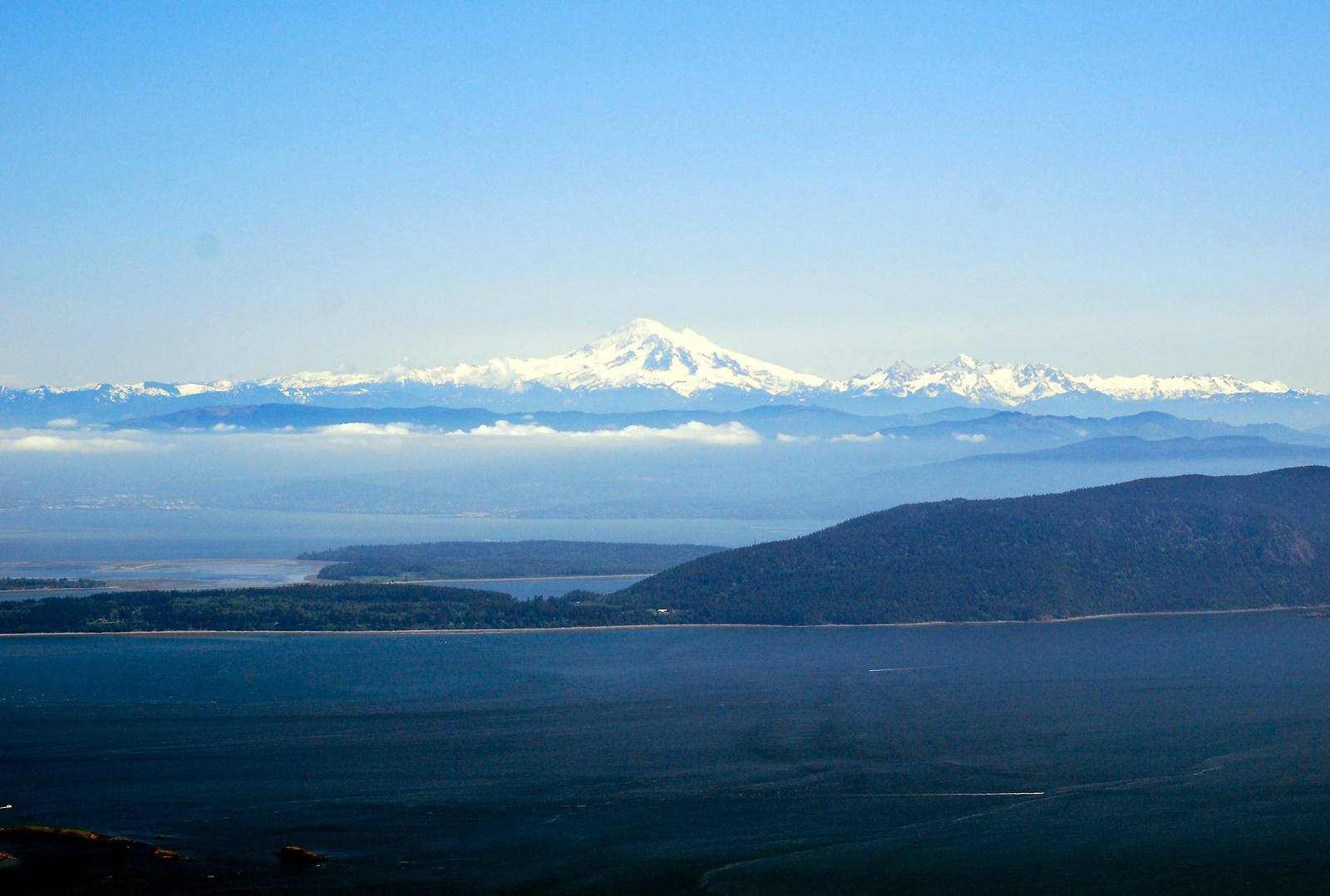
North Sound & the San Juan Islands
Lummi, Swinomish, Samish and Nooksack country — the reef nets of the Salish Sea, the Pig War on San Juan Island, Ebey's Landing on Whidbey, and the Skagit flats.
The Lummi, the Lhaq'temish, took salmon bound for the Fraser River in the passages between the islands with the reef net: a net hung between two canoes below a lookout, over lines rigged to imitate a rising seafloor, so the fish swim up into it, with almost no bycatch. The Treaty of Point Elliott in 1855 kept their right to fish, but by the 1890s white-owned fish traps had pushed Lummi reef-netters off their own sites. When Judge George Boldt ruled in 1974 that the treaty tribes were owed half the catch, he noted forty-three reef nets working off Lummi Island and not one of them tribal. Lummi fishermen have since begun taking the reef net back to their old grounds at Cherry Point.
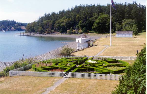
Britain and the United States both claimed the San Juans, and in June 1859 an American farmer named Lyman Cutlar shot a Hudson's Bay Company pig rooting in his potatoes on San Juan Island. Troops and warships gathered. Then both governments agreed to a joint military occupation, British at one end of the island and Americans at the other, that lasted twelve years, until Kaiser Wilhelm I of Germany, acting as arbitrator, gave the islands to the United States in 1872. The pig was the only casualty. Both camps are now San Juan Island National Historical Park, reached by state ferry from Anacortes.
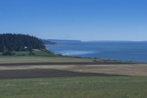
On Whidbey Island, Congress made the farms of Ebey's Prairie and the old seaport of Coupeville the first national historical reserve in 1978, a park of working farms, mostly still private land, kept looking much as it has since the donation claims of the 1850s. East across the Skagit flats, where the tulip fields bloom in April, the land climbs toward Mount Baker and the North Cascades.
What to See in North Sound & the San Juan Islands
4 places across the region, grouped by what they are.
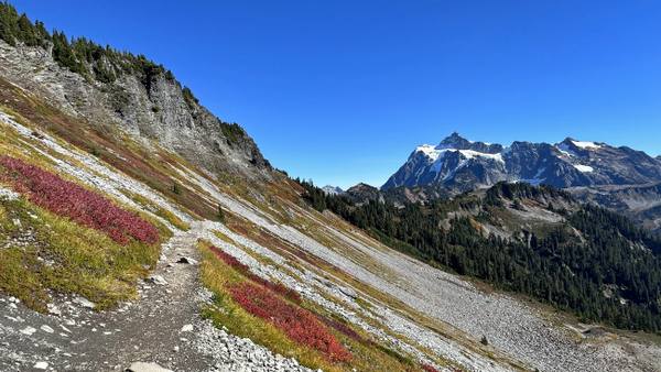
Natural Areas
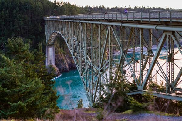
Historic Sites
Stories from North Sound & the San Juan Islands
North Sound & the San Juan Islands rewards the unhurried. Pick a base, fan out, and let the country between the headline stops surprise you.
← Explore more of Open Road Guide