 Andy Montgomery / CC BY-SA 2.0 via Flickr
The Story
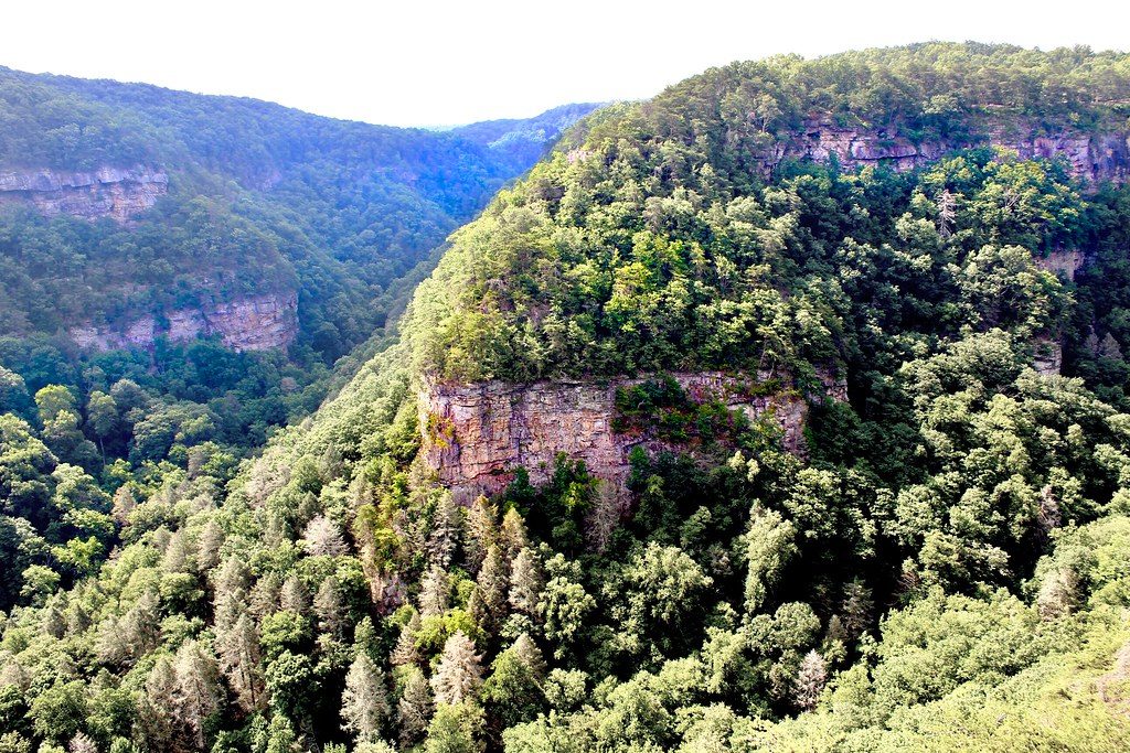
Lookout Mountain was Cherokee country, and the Cherokee who made up this county's first population were forced out in the 1830s. The canyon itself is far older. Daniel Creek and Bear Creek cut down through the flat top of the mountain and join to form Sitton Gulch Creek, which has carved a gorge more than 1,000 feet deep, from about 800 feet at the bottom to more than 1,800 at the rim. The walls are sandstone laid down at the edge of an ancient sea, over softer shale where pines take hold, and the sandstone breaks away in great blocks. Below it all lies limestone with miles of caves.
The land was known as Sitton Gulch or Trenton Gulf when Georgia began buying it from private owners in 1938, and it became a park in 1939. Until then no Georgia road reached Dade County at all; drivers came in through Tennessee or Alabama, which is how the county earned its nickname, the State of Dade. The state built the highway now numbered 136 to link US 41 with the new park, and the Civilian Conservation Corps built its first buildings.
From the overlooks beside the picnic area you can see across the gorge without walking far. The Waterfalls Trail drops on a stairway of about 600 steps to Cherokee Falls, some 60 feet high, and Hemlock Falls, about 90, and every step comes back up. The 4.8-mile West Rim Loop gives the long views toward Sand Mountain. Flow at the falls depends on the season, so come after rain.
Visitor Info
On the Map
Nearby
The closest stops worth working into your route
Historical markers nearby
Roadside plaques and monuments within a short detour