 An Errant Knight / CC BY-SA 4.0
The Story
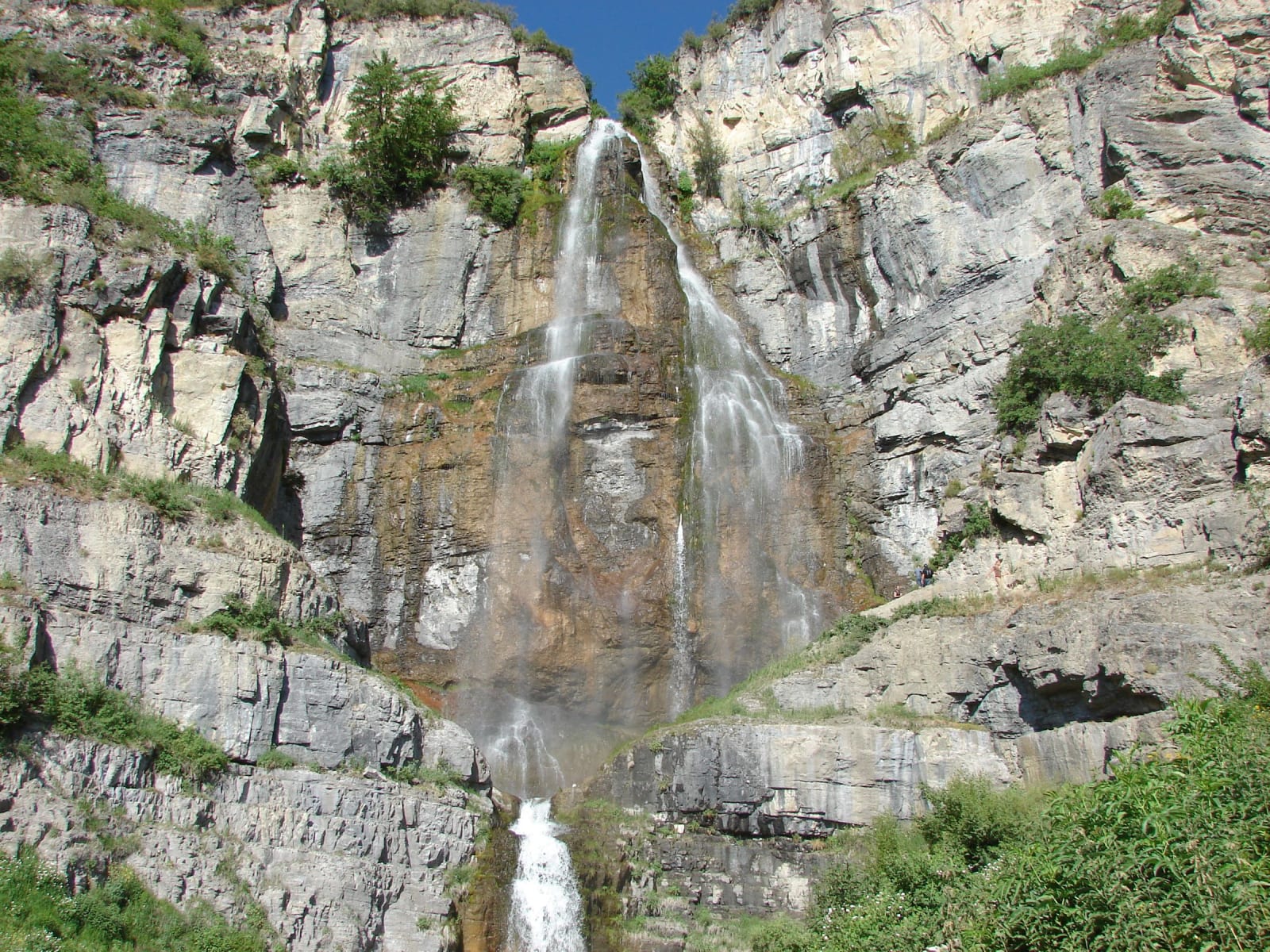
Aspen Grove sits in pine and fir at about 6,900 feet, at the foot of Mount Timpanogos on the Provo Canyon side of the Alpine Loop. It is the trailhead for two very different outings: the long, punishing climb to the 11,752-foot summit of Timpanogos — around fourteen miles round trip and more than five thousand feet of gain — and the short, family-friendly walk to Stewart Falls, a cold two-hundred-foot cascade that drops in two tiers and draws a crowd on any warm weekend. The falls take their name from the Stewart family, whose ranch land farther down the canyon Robert Redford bought in the 1960s and renamed Sundance.
Behind the parking area stands the Theater in the Pines, a stone amphitheater the Civilian Conservation Corps built into the forest in the mid-1930s, and the reason it exists is the trail. In 1912, BYU coach Eugene "Timp" Roberts led twenty students to the summit, and the outing grew into an annual community hike that ran for nearly six decades, with a bonfire pageant the night before that drew crowds of as many as ten thousand to this clearing. By 1970 more than seven thousand people were attempting the climb in a single day, and the Forest Service ended the tradition to spare the mountain the erosion.
Above Emerald Lake, the small tarn the trails pass beneath the summit, sits what is often called the last glacier in Utah — these days really a rock glacier, its ice buried under rubble and shrunk far enough that geologists tend to call it a snowfield. It was larger once: in 1941 it hosted a downhill race, the Glacier Cup, run for four summers off the back of the famous hike, with the skis and gear hauled up by packhorse. The whole basin still lights up in late July with one of the better wildflower displays in the Wasatch, and like the rest of the loop, it is a summer-and-fall place — the road in is gated through the winter.
Visitor Info
On the Map
Stories featuring this place
Go deeper into the history and character of this stop
Nearby
The closest stops worth working into your route
Historical markers nearby
Roadside plaques and monuments within a short detour