 An Errant Knight / CC BY-SA 4.0
The Story
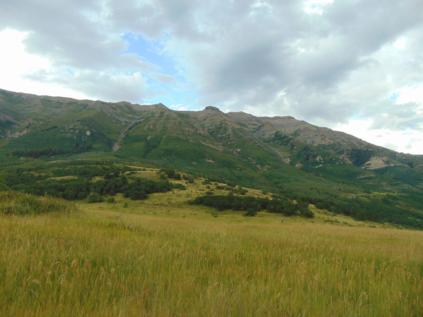
The Alpine Loop Summit is the top of the Alpine Loop, where UT-92 crests near 8,000 feet between American Fork Canyon and Provo Canyon. It is the moment the drive pays off: the forest falls back, and the rugged, glacier-carved east face of Mount Timpanogos — the second-highest peak in the Wasatch Range — stands up directly across the way, close enough to pick out the cirques and the snowfields that cling to it well into summer. After miles of climbing one narrow canyon in low gear, the road simply tips over the top and the whole mountain is abruptly, hugely there.
The summit is also the hinge of the drive, a crossroads where the corridor's best stops branch off within minutes of one another. The paved spur to Cascade Springs — the gentlest stop on the loop — drops away to the east right here, falling down a forested ridge to its travertine terraces and trout-filled pools. Just down the Provo Canyon side waits Aspen Grove, the great trailhead at the foot of Timpanogos, with its Depression-era stone amphitheater and the long climb to the peak; and on the American Fork side, reachable over the loop only in the warm months, the switchbacks of Timpanogos Cave climb the far wall of the canyon. There is little at the top itself beyond a small parking area and the view — which is rather the point. Bring a layer: even in July it can run twenty degrees cooler up here than in the valley, and the loop is gated and snowbound through winter, a summer-and-fall road like the rest of the high Wasatch.
Visitor Info
On the Map
A story featuring this place
Go deeper into the history and character of this stop
Nearby
The closest stops worth working into your route
Historical markers nearby
Roadside plaques and monuments within a short detour