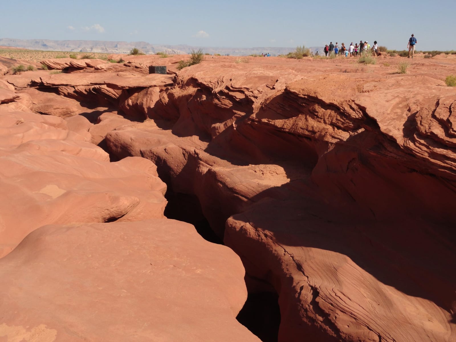
 Fabio Achilli from Milano, Italy / CC BY 2.0 via Wikimedia Commons
The Story
Antelope Canyon is a slot so narrow and so sculpted that a shaft of noon light falling into it looks solid. It sits on Navajo land east of Page, and the Diné name for the upper canyon — Tsé bighánílíní, "the place where water runs through rocks" — is a plain description of both how it was made and how it is entered. Flash floods, over millions of years, carved the corridors out of Navajo Sandstone, scouring the walls into the flowing, layered curves the photographs chase; the light beams pour into the upper canyon around midday from spring to fall. To the Diné it is not a photo op but a sacred place, part of a living earth, and you go in only with a Navajo guide.
That rule is written in blood as well as respect. On August 12, 1997, a flash flood from a storm miles upstream tore through the lower canyon and killed eleven hikers who were in it without warning; the flimsy ladders were swept away. The Navajo Nation made the canyon a tribal park that year, and now every visit is guided, the weather watched constantly, bolted ladders and cargo nets and alarm horns in place, tours shut down at the first threat of rain. The canyon is beautiful and it is dangerous, and the guides keep you on the right side of both.
The country around it is its own strange chapter. Page is a company town, built in 1957 for the crews raising Glen Canyon Dam, and the reservoir the dam made — Lake Powell — drowned a red-rock canyon that many who saw it counted among the most beautiful in the West, a loss still mourned. Navajo elders say Long Walk holdouts once hid in slots like these; the same defiance runs north from Monument Valley and east to Canyon de Chelly. Come for the light. Go with someone whose country it is.
Visitor Info
On the Map
A story featuring this place
Go deeper into the history and character of this stop
Nearby
The closest stops worth working into your route
Historical markers nearby
Roadside plaques and monuments within a short detour