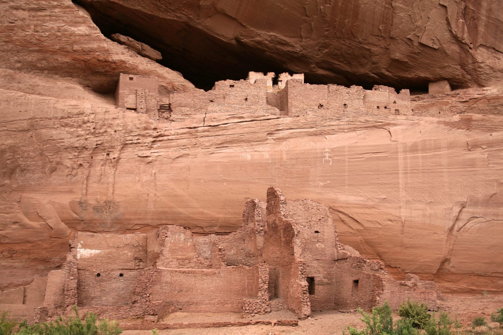
 Andreas F. Borchert / CC BY-SA 4.0 via Wikimedia Commons
The Story
Canyon de Chelly — Tséyiʼ, "within the rock," the Spanish spelling of a Navajo word — is one of the longest continuously inhabited places in North America. People have lived on its floor for close to five thousand years: Ancestral Puebloans who raised the cliff dwellings, the White House among them, tucked under a five-hundred-foot wall; Hopi who farmed here in summer; and the Diné, who have held the canyon since the 1700s and hold it still. Spider Rock, the eight-hundred-foot spire at the canyon's fork, is in Navajo tradition the home of Spider Woman, who taught the people to weave.
It is also where the nation's deepest wound was cut. Twice, soldiers came for the people sheltering in these walls. In 1805 a Spanish force trapped and killed more than a hundred Navajo — most of them women, children, and the old — in a cave in the branch now called Canyon del Muerto, the canyon of the dead. Then in the winter of 1864 Kit Carson's troops moved through Tséyiʼ burning hogans and cutting down more than three thousand peach trees, starving the Diné into surrender. Some eight thousand were forced east on the Long Walk — three hundred miles to the prison camp at Bosque Redondo, which the Diné remember as Hwééldi, the place of suffering. Many never came back.
But they came back. The 1868 treaty let the survivors return to a fraction of their land, this canyon among it; families who had crept in at night through the removal to tend the surviving trees replanted the orchards, and about forty Diné families still farm the canyon floor today. Canyon de Chelly is a national monument, but the land is owned by the Navajo Nation and managed with it — the only such arrangement in the park system — and no visitor may walk below the rim without a Diné guide. From here the nation rebuilt itself; its capital stands east at Window Rock. The Hopi who once farmed this floor went home to their mesas.
Visitor Info
On the Map
A story featuring this place
Go deeper into the history and character of this stop
Nearby
The closest stops worth working into your route