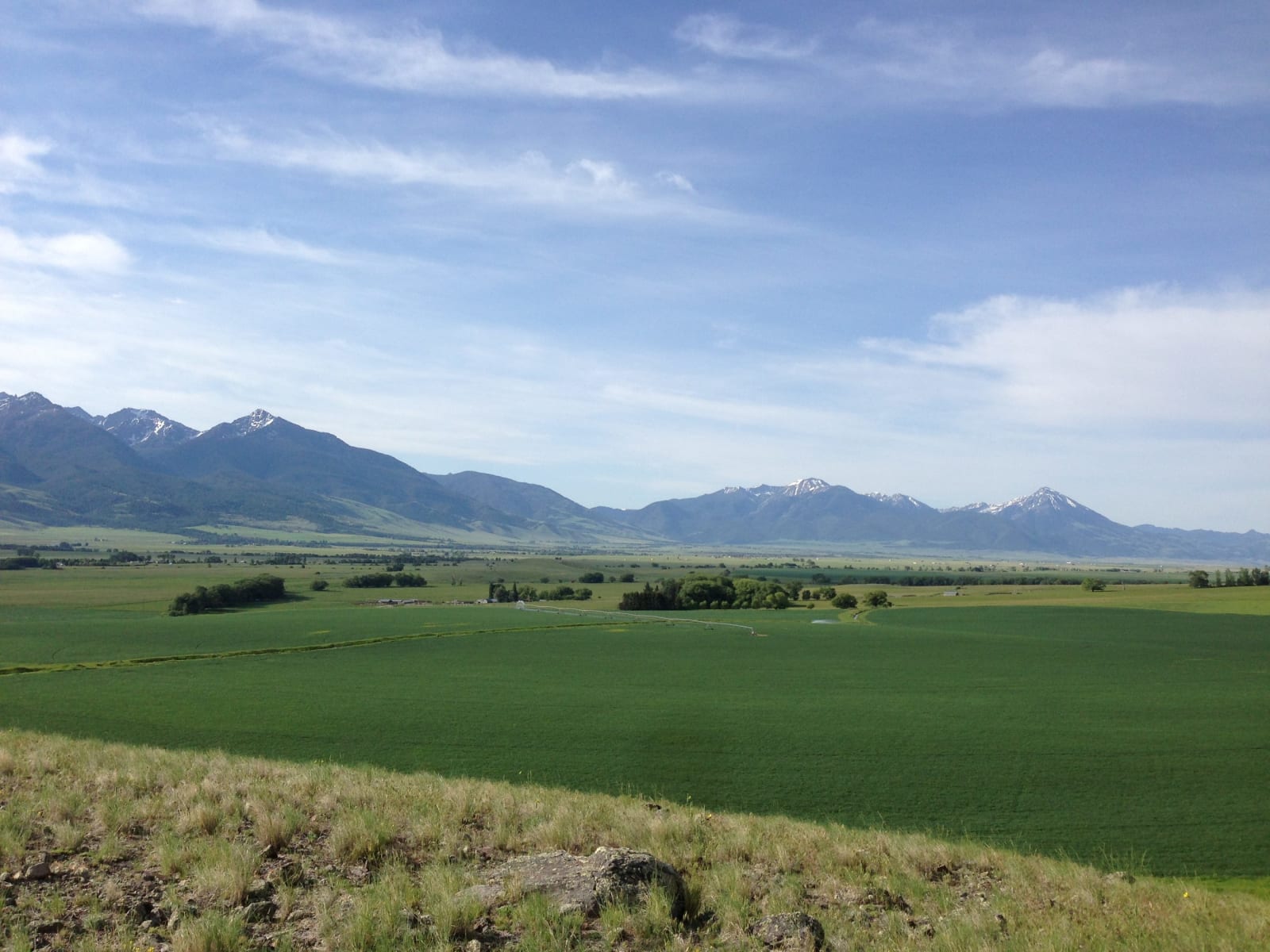
The Absaroka Range above green fields in the Paradise Valley south of Livingston, a grassy bench in the foreground
USDA NRCS Montana / public domain via Wikimedia Commons
Montana · Region

Yellowstone Country

Apsáalooke country: the Clovis child reburied near Wilsall, the Crow land ceded below the park, the Roosevelt Arch at Gardiner, and Earthquake Lake on the Madison.

9 places to explore

In May 1968 construction workers near Wilsall, in the Shields River valley, broke into a burial: a boy of one or two, laid down about 12,600 years ago with more than a hundred stone and antler tools, all of it dusted with red ocher. He is the only person whose remains are tied to the Clovis culture, and in 2014 his genome, the first ancient one from the Americas to be sequenced, showed him closely related to living Native Americans. On June 28 of that year he was buried again, close to where he was found, in a ceremony attended by representatives of some thirty tribes.

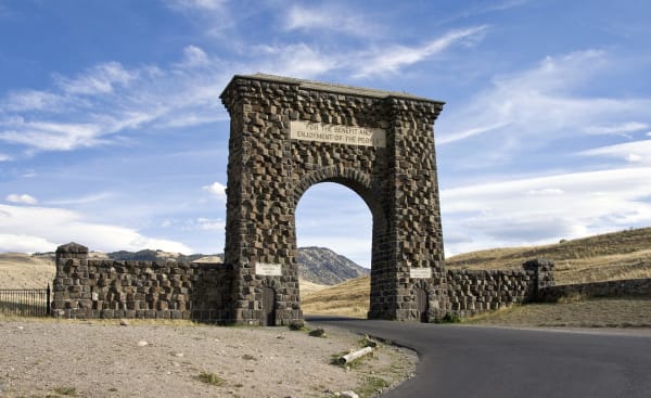
The upper Yellowstone was Apsáalooke country, and under the 1868 treaty the Crow Reservation still ran up the river's south bank to the edge of the park; the first Crow Agency, Fort Parker, stood on Mission Creek east of present-day Livingston. In an agreement of 1880, ratified in 1882, the Crow gave up that western end, from the Boulder River to the park. Theodore Roosevelt laid the cornerstone of the stone arch at Gardiner on April 24, 1903, while it was still going up. On June 13, 2022, a flood tore away the entrance road beyond it, and the north gate reopened on October 30 over a widened 1879 stagecoach road.

West of the park, at 11:37 on the night of August 17, 1959, a magnitude 7.3 earthquake broke the ground beneath Hebgen Lake. Eighty million tons of Sheep Mountain fell across the Madison Canyon in under a minute, burying the Rock Creek campground, and 28 people died. The rubble dammed the river into Earthquake Lake, which is still there. Below it the Madison runs north to Three Forks, where it meets the Jefferson and the Gallatin and becomes the Missouri.

What to See in Yellowstone Country

9 places across the region, grouped by what they are.

Natural Areas
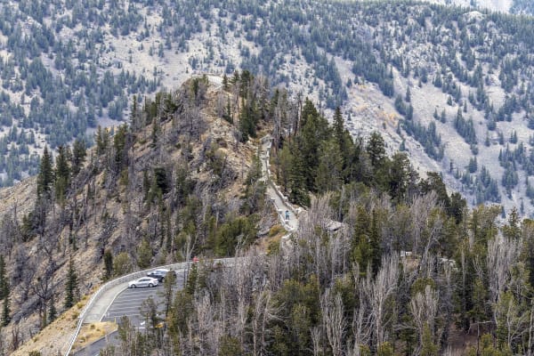
The Beartooth Highway switching back up a timbered ridge in Rock Creek canyon, seen from the Rock Creek Vista overlook

Beartooth Highway

Red Lodge

A road over the top of the world, built because a coal town's mines closed and it needed tourists instead.

View details →
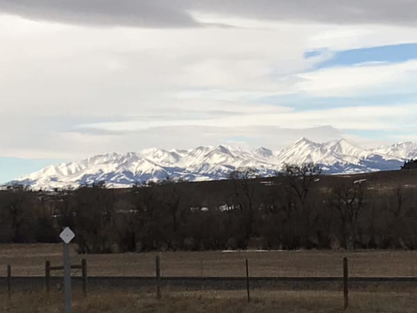
The snow-covered Crazy Mountains in winter, seen across fenced pasture and bare cottonwoods under a broad sky

Crazy Mountains

Big Timber

Awaxaawippíia, the Apsáalooke's holiest mountains, where young Plenty Coups saw the end of the buffalo.

View details →

Hikes & Trails

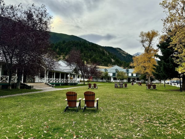
The white-trimmed main lodge at Chico Hot Springs behind a lawn with two red chairs, autumn trees and a forested hill beyond

Chico Hot Springs

Pray

A miners' wash pool turned hotel, turned hospital, turned the valley's favorite place to soak.

View details →

Historic Sites

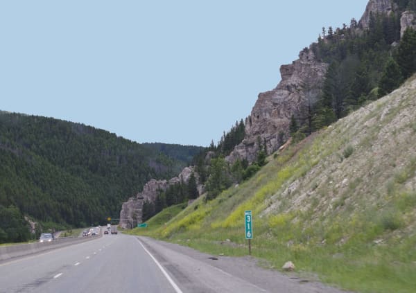
Interstate 90 running west through Bozeman Pass between a timbered slope and a grassy hillside under rock outcrops

Bozeman Trail at Bozeman Pass

Bozeman

The pass at the end of a gold-rush shortcut through other nations' hunting ground, the one road a Native war closed.

View details →
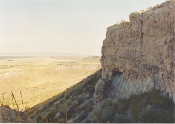
The pale limestone cliff of the Madison Buffalo Jump falling away to dry grassland that stretches toward the horizon

Madison Buffalo Jump State Park

Logan

A limestone cliff where people drove bison over the edge for two thousand years, until horses made it unnecessary.

View details →
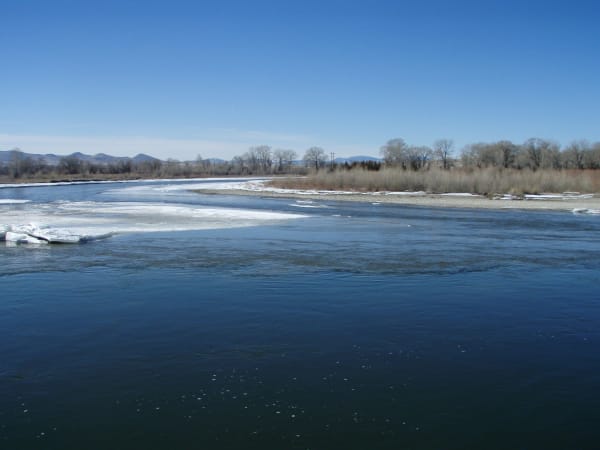
The Madison and Jefferson rivers meeting at the Missouri Headwaters, broad dark water under a clear sky with cottonwoods on the far bank

Missouri Headwaters State Park

Three Forks

Where the expedition named three rivers, and where the trappers who came back after it learned whose country it was.

View details →

Towns & Gateways

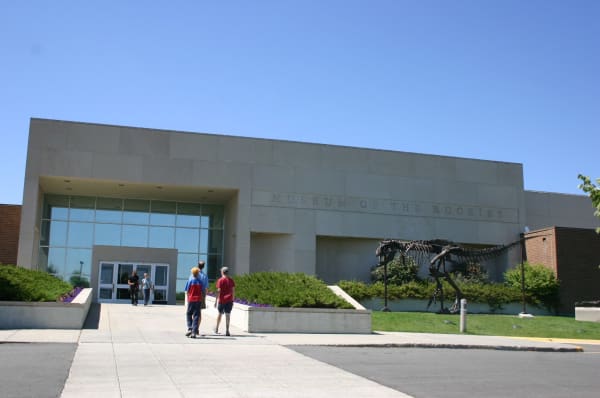
The pale stone front of the Museum of the Rockies in Bozeman, a glass entrance under a deep overhang and visitors on the walk

Museum of the Rockies

Bozeman

The bronze T. rex on the lawn is a cast of the one that went to Washington.

View details →

Architecture

The Roosevelt Arch at Gardiner, a tall arch of dark basalt blocks with low wing walls, the road passing through under a blue sky

Roosevelt Arch

Gardiner

Half of a railroad's front door; the station it faced came down in 1954.

View details →

Industry & Mining

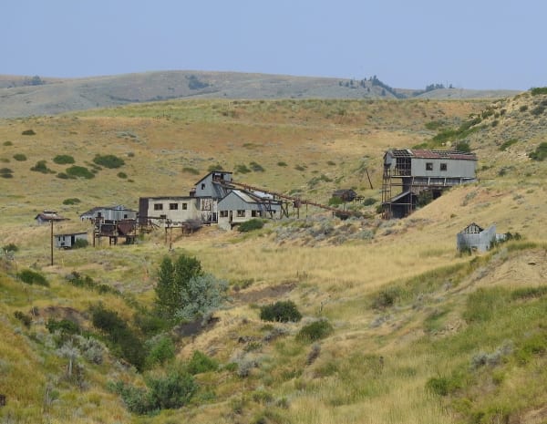
The weathered buildings of the Smith Mine on a sagebrush hillside near Bearcreek, rolling dry hills beyond

Smith Mine

Bearcreek

Rusting buildings beside the highway, all that is left of the mine where Montana's worst coal disaster emptied a valley.

View details →

Scenic Drives through Yellowstone Country

Scenic Byway

US-89: Paradise Valley to Yellowstone

Livingston to Gardiner up the Yellowstone River: the 1902 railroad depot, Paradise Valley between two ranges, Yankee Jim Canyon, the Devil's Slide and the park's year-round gate.

54 mi · 1.25 hrs

Stories from Yellowstone Country

Nature

The Herd at the North Gate

Every winter Yellowstone's bison walk down the valley to Gardiner, and Montana's cattle law meets them at the park line. A quarantine program now sends some of them on to the Fort Peck Reservation instead of to slaughter.

4 min read

Yellowstone Country rewards the unhurried. Pick a base, fan out, and let the country between the headline stops surprise you.

← Explore more of Open Road Guide