US-212: The Beartooth Highway, Red Lodge to Yellowstone
Sixty-eight miles from Red Lodge over the Beartooth Plateau to Yellowstone's northeast gate, half of them in Wyoming: the road's one store, the first national forest, and the river the Nimiipuu reached in 1877.
The Route at a Glance
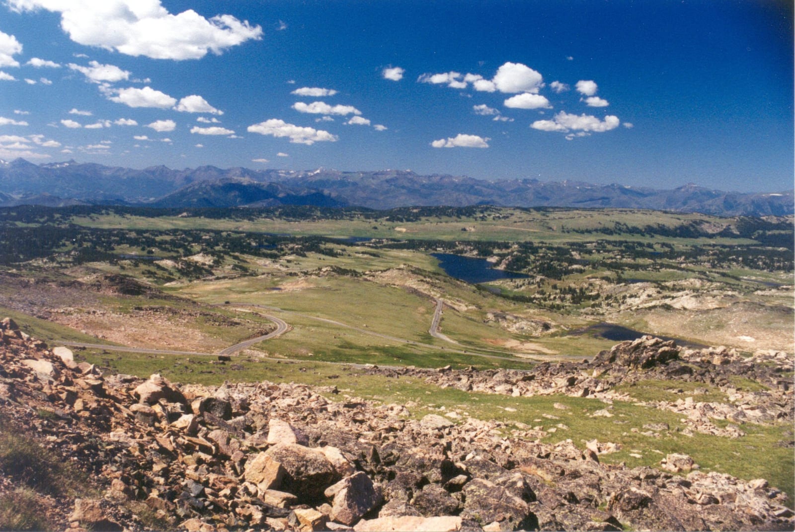
How Red Lodge got its road over the mountains is told at the Beartooth Highway. This is the drive itself, sixty-eight miles from Red Lodge to the northeast entrance of Yellowstone, and half of it is Wyoming. The road climbs out of Rock Creek in Montana, crosses the state line onto the plateau about twenty-five miles out, tops out at Beartooth Pass at 10,947 feet, and stays in Wyoming for some thirty-four miles before crossing back into Montana a few miles east of Cooke City.
Top of the World, the only store on the highway, began in 1934 on the shore of Beartooth Lake, two years before the road opened, and has since moved out beside the pavement. Farther on, a three-mile gravel spur climbs to the fire lookout on Clay Butte, where volunteers greet visitors in midsummer and the view runs south and west to the Absarokas, the range that carries the Apsáalooke name.
From the pass west the highway runs through the Shoshone National Forest. Benjamin Harrison proclaimed this country the Yellowstone Park Timberland Reserve on March 30, 1891, the first reserve created under the forest act Congress had passed that month, and the Shoshone counts itself the first national forest in the country. It is named for the Shoshone people, who have lived in this corner of Wyoming for thousands of years.
Coming down off the plateau, the road meets the Clarks Fork of the Yellowstone, and at the junction with WY-296 the Chief Joseph Scenic Highway turns south toward Cody. That road crosses the country where, in early September 1877, the Nimiipuu coming out of Yellowstone drew Colonel Samuel Sturgis and the Seventh Cavalry south with a feint near Dead Indian Pass, then slipped north behind him to the river; exactly how they came down to it is still argued. Below the WY-296 bridge, 20.5 miles of the Clarks Fork canyon were added to the national Wild and Scenic Rivers system in 1990.
West of the junction the highway follows the Clarks Fork upstream, crosses back into Montana, and climbs over Colter Pass to Cooke City and Silver Gate and the park entrance. The high road over the pass is plowed open around Memorial Day weekend and closes in mid-October, and storms can shut it in any month. Red Lodge and Cooke City have food, fuel and rooms.
The Drive, Stop by Stop
1 stops along the route, in driving order from Red Lodge, Montana to Northeast Entrance, Yellowstone National Park.
- 1
That's the drive. Take your time, pull over often, and let US-212: The Beartooth Highway, Red Lodge to Yellowstone do what it does best.
← Explore more of Open Road Guide