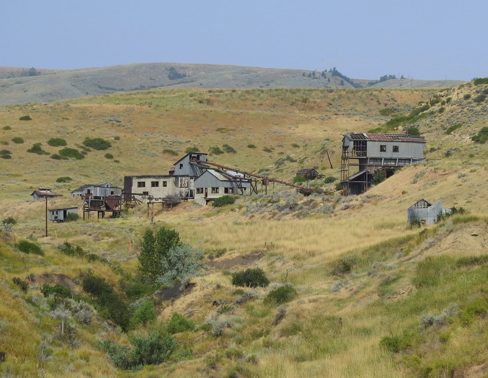
 Tumbleweed1954 / CC BY-SA 4.0 via Wikimedia Commons
The Story
In the mid-1920s Bearcreek, with the coal camps around it, held more people than Red Lodge, seven miles west: close to three thousand, many of them immigrants who had come to work the seams in the Bearcreek valley. The Montana Coal and Iron Company's Smith Mine was one of seven big operations. At about 9:37 on the morning of Saturday, February 27, 1943, a methane explosion tore through Smith Mine No. 3. It was so deep that no one at the portal heard it; people noticed only when strange smoke began to pour from the mouth. Of the seventy-seven men underground, three came out alive.
Rescue crews came from the neighboring mines and from Butte, and the fumes were so bad they could work only a few minutes at a time; high-school students staffed an emergency hospital the Red Cross set up in Red Lodge. Some of the men survived the blast and died of the gas before anyone could reach them. It took days to concede that all seventy-four were dead. The disaster left fifty-eight widows in two small towns, and almost every household lost someone.
Historians say the explosion hastened Bearcreek's end rather than causing it. Demand for coal fell after the war, the railroad that hauled it out closed in 1953, the mines shut one by one, and houses were hauled away or torn down. The town had ninety-one people in 2020. The Smith Mine's corrugated buildings, the only mine works left in the valley, still stand on the north side of MT-308 west of Bearcreek, a National Register historic district since 2009, with a roadside sign beside them.
Visitor Info
On the Map
Nearby
The closest stops worth working into your route