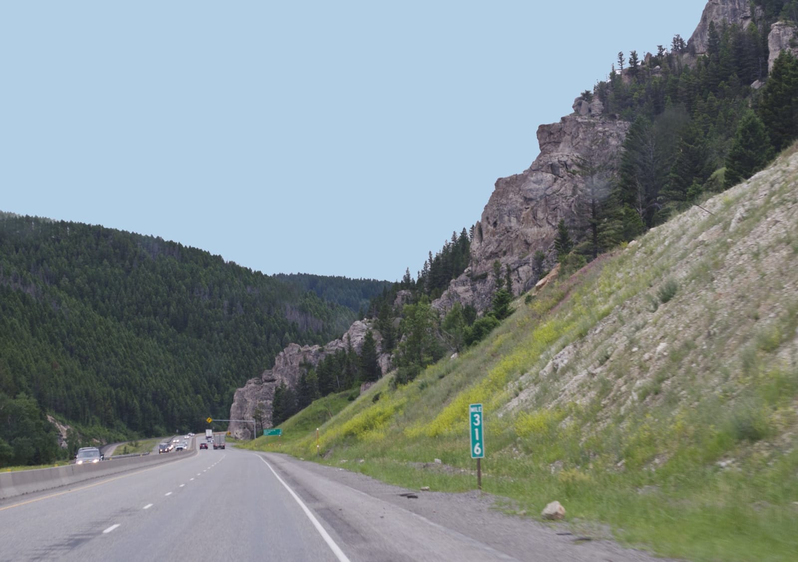
 Tim Evanson / CC BY-SA 2.0 via Wikimedia Commons
The Story
The trail that ends here was an old one before it was Bozeman's. Lakota, Cheyenne, Arapaho, Crow and Shoshone people used the route along the east face of the Bighorns to hunt and to move camp, and in 1863, with gold found at Bannack and Alder Gulch, John Bozeman and John Jacobs marked it as a wagon shortcut from the Oregon Trail to the Montana camps. It ran through the Powder River country, prime bison range the Lakota and Cheyenne claimed, and in July 1863 a large party of their warriors met the first wagon train and told it to turn back. Most of it did.
The next year, with more people, wagon trains got through, and Bozeman settled at the gate of the Gallatin Valley, below this pass, where in August 1864 he platted a farm town to feed the miners. In 1866 the Army built three forts along the road, and Red Cloud's Oglala, with Cheyenne and Arapaho allies, went to war over them; that December they wiped out Captain William Fetterman's command. Bozeman himself was killed in April 1867 on the Yellowstone near present-day Springdale, on his way to sell flour to one of the forts. His partner, Tom Cover, blamed a band of Blackfeet, and historians have long doubted his story.
In the 1868 treaty the government agreed to abandon the forts and the road. It was a war the Lakota won, for a time. I-90 crosses Bozeman Pass between the Bridger and Gallatin ranges, roughly where his wagons came over, between the Yellowstone at Livingston and the valley town that kept his name.
Visitor Info
On the Map
Nearby
The closest stops worth working into your route