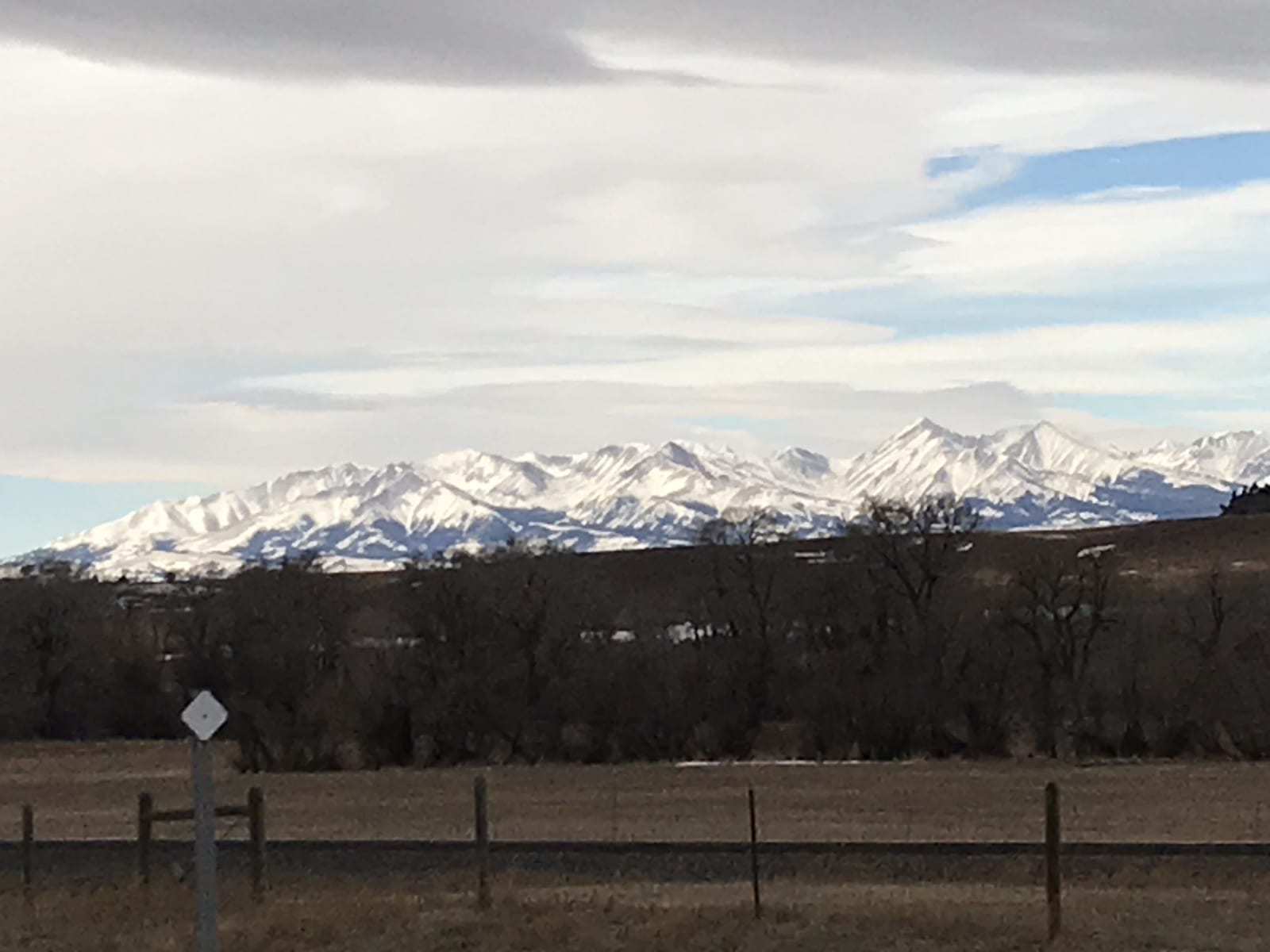
 Montanabw / CC BY-SA 4.0 via Wikimedia Commons
The Story
The Apsáalooke call this island range Awaxaawippíia, and the English name is a loose rendering of theirs. Crow men fasted for visions in the Bighorns and the Pryors too, but the Crazies were held the holiest of all, and in the years before the reservation they were a sanctuary; enemies were said to turn back once the Crow had gone into the canyons. Around 1860, as a boy, Alaxchíiahush, later known as Plenty Coups, went up Crazy Peak to fast. He came down with a vision of the bison vanishing from the plains and cattle in their place, and the elders read it as a warning that fighting the newcomers would destroy the people. As a chief he made that reading Crow policy.
The range lay inside the Crow country of the 1851 treaty, but by 1868 it was gone from the reservation. The railroad land grant then cut it into a checkerboard of alternating square miles, private and public, and that pattern still makes much of the range hard to reach legally, with landlocked public sections and trail rights argued for more than a century. The Forest Service now names the Crazies an area of tribal importance, and a land exchange on the east side, worked out in the 2020s, includes a permanent easement giving Crow tribal members access to Crazy Peak, at 11,214 feet the range's highest.
From I-90 near Big Timber the Crazies rise abruptly out of the grass, which is how most people see them. Those who go in should know the stone vision-quest structures on the high ridges still matter to the people who built them, and leave them as they are.
Visitor Info
On the Map
Nearby
The closest stops worth working into your route