Home / Alabama / The Wiregrass & Southeast Alabama / Eufaula National Wildlife Refuge
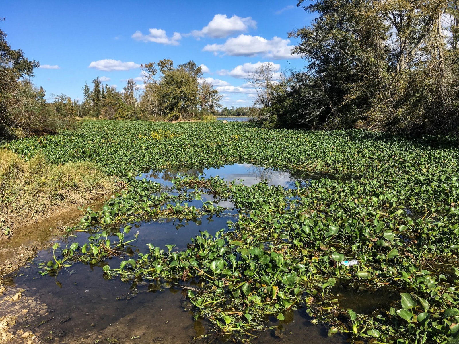
A backwater at Eufaula National Wildlife Refuge thick with floating green plants, edged by trees under a blue sky.Shawn Taylor / CC BY 2.0 via Flickr
🌲Natural

Eufaula National Wildlife Refuge

Part ofThe Wiregrass & Southeast Alabama

An 11,184-acre refuge on Lake Eufaula and the Chattahoochee, set aside in 1964 for wintering waterfowl, with an eight-mile wildlife drive and an observation tower.

⏱
Duration
One to three hours.
🎟
Admission
Free (U.S. Fish and Wildlife Service, 2026).
📅
Best Season
Late fall through winter for waterfowl; spring for songbirds. Open from 30 minutes before sunrise to 30 minutes after sunset.

The Story

Above Eufaula the Chattahoochee ran through Lower Creek country, with towns on both banks. The 1832 Treaty of Cusseta and the removals that followed the Creek War of 1836 emptied that country. In 1963 the Army Corps of Engineers closed the Walter F. George Lock and Dam downstream and backed the river into a 45,000-acre reservoir, Lake Eufaula. The next year this refuge was set aside along the lake's upper reaches as habitat for wintering waterfowl and other migratory birds.

The refuge covers 11,184 acres on both sides of the state line. It lies within the old range of the longleaf pine and wiregrass forest that gave this corner of Alabama its name, and remnant longleaf stands survive on the uplands beside newer restoration plantings. Almost 300 species of birds have been recorded here, along with about 40 kinds of mammals, alligators in the backwaters and a range of amphibians, reptiles and fish.

Most visitors take the eight-mile wildlife drive through the Upland and Houston units off Alabama 285, stopping at the viewing platform and the observation tower along the way; the route can be walked or biked as well. Near the main entrance on Alabama 165, a trail of about a third of a mile crosses a creek and follows the edge of the longleaf plantings. As of 2026 the refuge is run remotely from Piedmont refuge in Georgia and its office is closed, so come with water and plan to use the restrooms at the state parks nearby.

Visitor Info

⏱
Time Needed
One to three hours.
🎟
Admission
Free (U.S. Fish and Wildlife Service, 2026).
📅
Best Season
Late fall through winter for waterfowl; spring for songbirds. Open from 30 minutes before sunrise to 30 minutes after sunset.
🛣️
Highway
Alabama 165

On the Map

Nearby

The closest stops worth working into your route

recreational6.1 mi away
Florence Marina State Park
A small park at the head of Lake Walter F. George on the Chattahoochee, on the site of the river town of Florence, near where Muscogee fighters burned Roanoke in 1836.
historical8.6 mi away
Seth Lore and Irwinton Historic District
Eufaula's bluff-top downtown and its streets of Italianate houses, laid out on Creek land in the 1830s and the scene of the 1874 election-day attack on Black voters.
historical9.2 mi away
Fendall Hall
Edward Young's Italianate house on College Hill in Eufaula, finished in 1860 with the work of hired enslaved craftsmen and kept by the Alabama Historical Commission.
geological11 mi away
Providence Canyon State Park
Sixteen gullies up to 150 feet deep west of Lumpkin, cut not by a river but by rain running off cotton fields cleared in the early 1800s, with walls in dozens of colors.
historical23 mi away
Fort Mitchell Historic Site
The Chattahoochee River post that guarded the Federal Road through the Creek Nation, housed its agency, and in 1836 became the gathering point for Creek removal west.
cultural27 mi away
National Infantry Museum and Soldier Center
The Army's infantry museum outside the gates of Fort Benning, on ground near the Lower Creek town of Cusseta, with galleries from the Revolution to the present and a restored World War II company street.

Historical markers nearby

Roadside plaques and monuments within a short detour

Marker8.7 mi away
The Lynching of William "Willie Lee" Jenkins
Eufaula
Marker8.8 mi away
Quitman County
Georgetown, Georgia
Marker15 mi away
Spanish Fort, 1689-1691
Holy Trinity
Marker17 mi away
John Wellborn Root Birthplace Site
Lumpkin, Georgia
Marker18 mi away
Lumpkin and Stewart County
Lumpkin, Georgia
Marker20 mi away
Old Russell County Courthouse / Russell County Courthouse
Seale