Home / Alabama / The Wiregrass & Southeast Alabama / Seth Lore and Irwinton Historic District
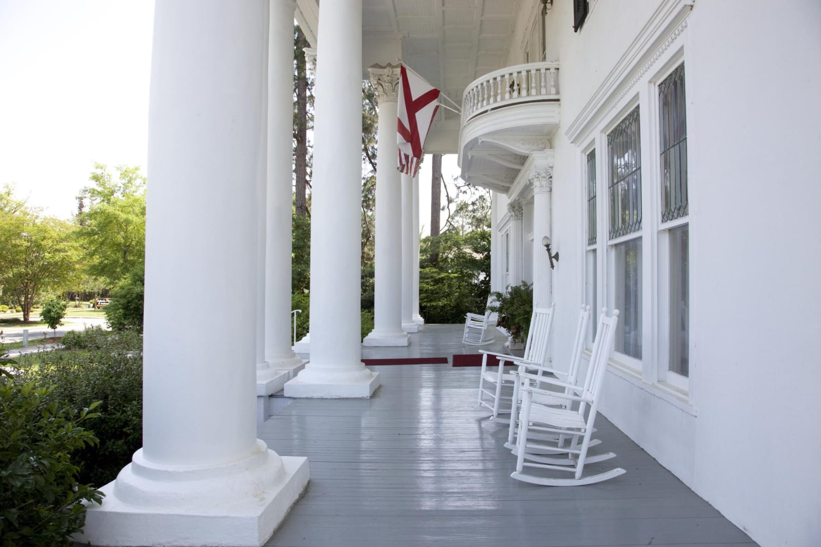
The front porch of the Shorter Mansion in Eufaula, with tall white columns, a curved balcony and white rocking chairs.Carol M. Highsmith / public domain via Library of Congress
🏛️Historical

Seth Lore and Irwinton Historic District

Part ofThe Wiregrass & Southeast Alabama

Eufaula's bluff-top downtown and its streets of Italianate houses, laid out on Creek land in the 1830s and the scene of the 1874 election-day attack on Black voters.

⏱
Duration
One to three hours on foot or by car.
🎟
Admission
Free to walk the district.
📅
Best Season
Year round; spring brings azaleas and the Eufaula Pilgrimage home tours, held since 1965.

The Story

In the late eighteenth century three Creek towns stood on both banks of the Chattahoochee here, and the town on the high bluff still carries the name of one of them. Settlers from Georgia arrived in 1816 and lived among the Creeks until the 1832 Treaty of Cusseta took the last Creek land in Alabama. The allotments it promised Creek families were taken through fraud and force, and after the Creek War of 1836 the Army drove nearly all the Creek people west. It was called Irwinton from 1832 to 1843.

Captain Seth Lore laid out the downtown from 1834, naming four avenues so their initials spell his surname: Livingston, Orange, Randolph and Eufaula. Cotton grown by enslaved people went downriver to Apalachicola, and the money built the storefronts and Italianate houses that make up the district, 738 contributing buildings since the National Register boundary was enlarged in 1986. The lawyers and planters called the Eufaula Regency pushed Alabama toward secession.

Broad Street holds a harder date. On election day, November 3, 1874, armed white Democrats opened fire on Black Republicans who had come to vote; Army records count seven or eight Black men killed and 70 to 80 wounded. That evening at Spring Hill a mob shot sixteen-year-old Willie Keils, son of Elias Keils, the Republican judge presiding over the polls, and burned more than 700 ballots. Democrats took every county office, and Reconstruction in Barbour County was over. Start at the Shorter Mansion, home of the Eufaula Historical Museum, and walk to Broad Street.

Visitor Info

⏱
Time Needed
One to three hours on foot or by car.
🎟
Admission
Free to walk the district.
📅
Best Season
Year round; spring brings azaleas and the Eufaula Pilgrimage home tours, held since 1965.
🛣️
Highway
U.S. 431 (North Eufaula Avenue)

On the Map

Nearby

The closest stops worth working into your route

historical0.7 mi away
Fendall Hall
Edward Young's Italianate house on College Hill in Eufaula, finished in 1860 with the work of hired enslaved craftsmen and kept by the Alabama Historical Commission.
natural8.6 mi away
Eufaula National Wildlife Refuge
An 11,184-acre refuge on Lake Eufaula and the Chattahoochee, set aside in 1964 for wintering waterfowl, with an eight-mile wildlife drive and an observation tower.
recreational15 mi away
Florence Marina State Park
A small park at the head of Lake Walter F. George on the Chattahoochee, on the site of the river town of Florence, near where Muscogee fighters burned Roanoke in 1836.
geological18 mi away
Providence Canyon State Park
Sixteen gullies up to 150 feet deep west of Lumpkin, cut not by a river but by rain running off cotton fields cleared in the early 1800s, with walls in dozens of colors.
historical32 mi away
Fort Mitchell Historic Site
The Chattahoochee River post that guarded the Federal Road through the Creek Nation, housed its agency, and in 1836 became the gathering point for Creek removal west.
historical32 mi away
Kolomoki Mounds State Park
The largest Woodland-period mound center in the Southeast, near Blakely, where people of the Swift Creek and Weeden Island cultures raised a 57-foot platform mound more than 1,500 years ago.

Historical markers nearby

Roadside plaques and monuments within a short detour

Marker0.7 mi away
The Lynching of William "Willie Lee" Jenkins
Eufaula
Marker2.3 mi away
Quitman County
Georgetown, Georgia
Marker21 mi away
Fort Gaines
Fort Gaines, Georgia
Marker21 mi away
Clay County
Fort Gaines, Georgia
Marker21 mi away
Gen. Edmund Pendleton Gaines
Fort Gaines, Georgia
Marker22 mi away
Andrew College
Cuthbert, Georgia