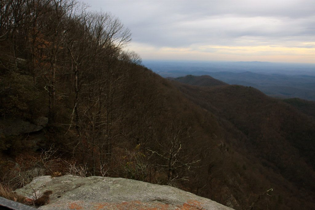
Bare-branched forest falls away down a steep mountainside toward wide blue foothills under a cloudy evening sky.
TravelingOtter / CC BY-SA 2.0 via Flickr
South Carolina · Region

Greenville & the Upstate Mountains

Cherokee Lower Towns under Lake Keowee, Calhoun's Fort Hill and its enslaved people, the 1934 Honea Path killings, and the Blue Ridge Escarpment at Table Rock.

12 places to explore

This corner of South Carolina was the country of the Cherokee Lower Towns: Keowee, Seneca, Jocassee, Tamassee, Chattooga Town. A small museum in Walhalla keeps what came out of their ground. Keowee and Fort Prince George, where the 1760 war broke open, lie under the water at Keowee-Toxaway, and Fort Hill at Clemson stands where the town of Esseneca stood before the armies of 1776 and the cessions that followed.

Then the frontier and the plantations. The 1792 blockhouse at Oconee Station guarded the state's western edge. Fort Hill keeps the names of the people John C. Calhoun's family enslaved, and Pendleton, the old district seat, holds Woodburn, where Jane Edna Hunter was born to sharecroppers. In Greenville, Falls Park sits where Richard Pearis built his mill, and in Honea Path a granite stone names the seven men shot at the Chiquola Mill in the 1934 strike.

The mountains rise behind all of it. The Blue Ridge Escarpment drops some 2,000 feet at Caesars Head, Table Rock's granite dome stands over its CCC park, and Lake Jocassee's clear water fills a drowned valley at Devils Fork. Irish laborers' unfinished railroad tunnel bores into Stumphouse Mountain, and the Chattooga, wild and scenic since 1974, runs the Georgia line down to Lake Tugaloo.

What to See in Greenville & the Upstate Mountains

12 places across the region, grouped by what they are.

Geology & Rock Formations
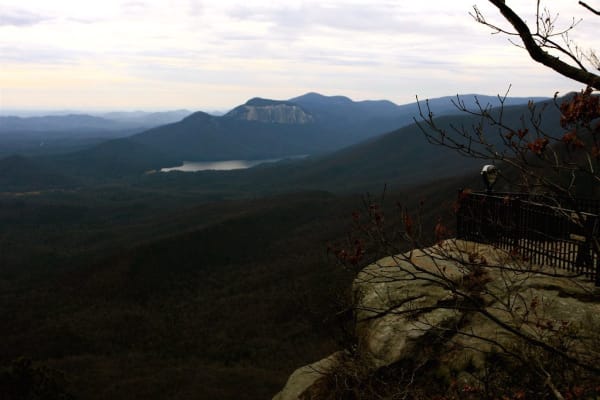
A railed granite overlook at right looks out over a forested valley toward the bare dome of Table Rock and a lake.

Caesars Head State Park

Cleveland

A granite cliff on the lip of the Blue Ridge Escarpment, with a long view across the Piedmont and the trail to 420-foot Raven Cliff Falls.

View details →

Natural Areas

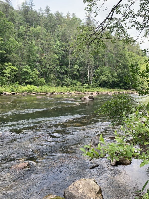
A clear, shallow river runs over rocks past a green wooded bank in summer.

Chattooga Wild and Scenic River

Long Creek

The free-flowing river on the Georgia line, designated Wild and Scenic in 1974, with a river-access lot at the US 76 bridge.

View details →
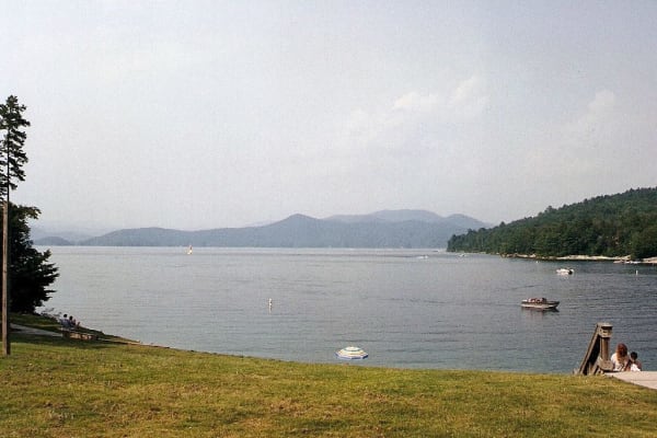
A wide lake with small boats under hazy blue mountains, seen from a grassy shore with a dock.

Devils Fork State Park

Salem

The only public way onto Lake Jocassee, a clear, cold reservoir over the Jocassee valley, where Oconee bells bloom along the trail each March.

View details →
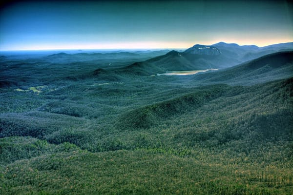
The bare granite face of Table Rock rises above a forested valley and a small lake, seen from a mountaintop at dusk.

Table Rock State Park

Pickens

The bare granite dome the Cherokee called the table of the Great Spirit, and the lodge, lakes and trails the CCC built beneath it in the 1930s.

View details →

Historic Sites

Chiquola Mill Strike Memorial

Honea Path

A small granite stone in Honea Path naming the seven mill workers killed at the Chiquola Mill gate during the 1934 general textile strike.

View details →
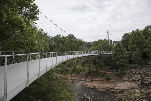
A curving white pedestrian bridge hung from cables on one side crosses a wooded river gorge with rocks below.

Falls Park on the Reedy

Greenville

The Reedy River falls in downtown Greenville, where Richard Pearis built his mill in the 1770s, reclaimed from old mill land since 1967 and crossed by the Liberty Bridge.

View details →
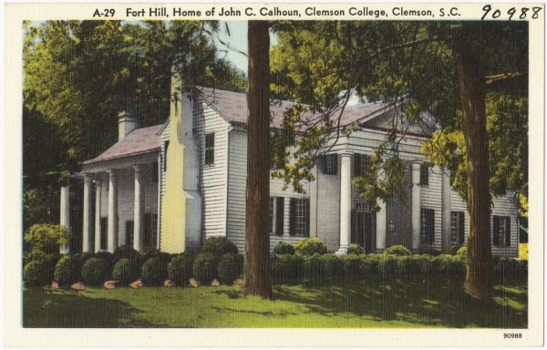
A mid-century color postcard of a white columned plantation house among tall trees, captioned Fort Hill, Home of John C. Calhoun.

Fort Hill

Clemson

John C. Calhoun's plantation house on the Clemson campus, kept with the names of the enslaved people who built and worked Fort Hill.

View details →

Keowee-Toxaway State Park

Sunset

A foothills park on Lake Keowee, whose water covers the Cherokee town of Keowee and the site of Fort Prince George.

View details →
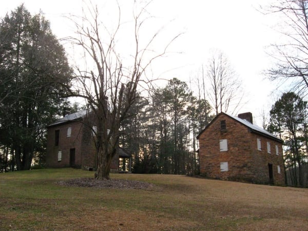
A two-story brick house and a stone blockhouse with a metal roof stand on a grassy slope among bare winter trees.

Oconee Station State Historic Site

Walhalla

A 1792 militia blockhouse and William Richards's 1805 trading-post house on what was South Carolina's western edge, with a trail to Station Cove Falls.

View details →

Pendleton Historic District

Pendleton

The 1790 seat of old Pendleton District around its village green and Farmers Hall, with Woodburn, where Jane Edna Hunter was born to sharecroppers in 1882.

View details →

Towns & Gateways

Museum of the Cherokee in South Carolina

Walhalla

A small Walhalla museum of the Cherokee Lower Towns, Keowee, Seneca, Jocassee, Tamassee and the rest, built from what came out of this county's ground.

View details →

Industry & Mining

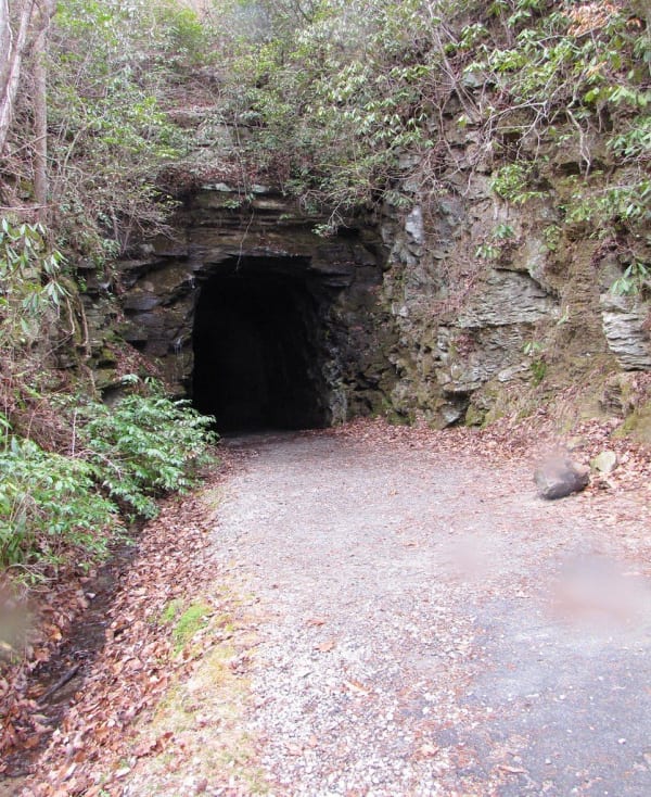
A dark arched tunnel mouth cut into a layered rock face, with a gravel path leading in between rhododendron and fallen leaves.

Stumphouse Tunnel Park

Walhalla

The unfinished 1850s railroad tunnel Irish laborers drove into Stumphouse Mountain to link Charleston with the Midwest, beside Issaqueena Falls.

View details →

Scenic Drives through Greenville & the Upstate Mountains

Scenic Byway

The Cherokee Foothills Scenic Highway: Cowpens, Caesars Head, Table Rock, Walhalla and the Chattooga

About 134 miles along the foot of the Blue Ridge, from the Cowpens battlefield west on SC 11 past Caesars Head, Table Rock, Lake Keowee and Lake Jocassee to Oconee Station and Walhalla, then up SC 28 to Stumphouse Mountain and out to the Chattooga River on US 76.

134 mi · 3.9 hrs

Greenville & the Upstate Mountains rewards the unhurried. Pick a base, fan out, and let the country between the headline stops surprise you.

← Explore more of Open Road Guide