 Packbj / CC BY-SA 4.0 via Wikimedia Commons
The Story
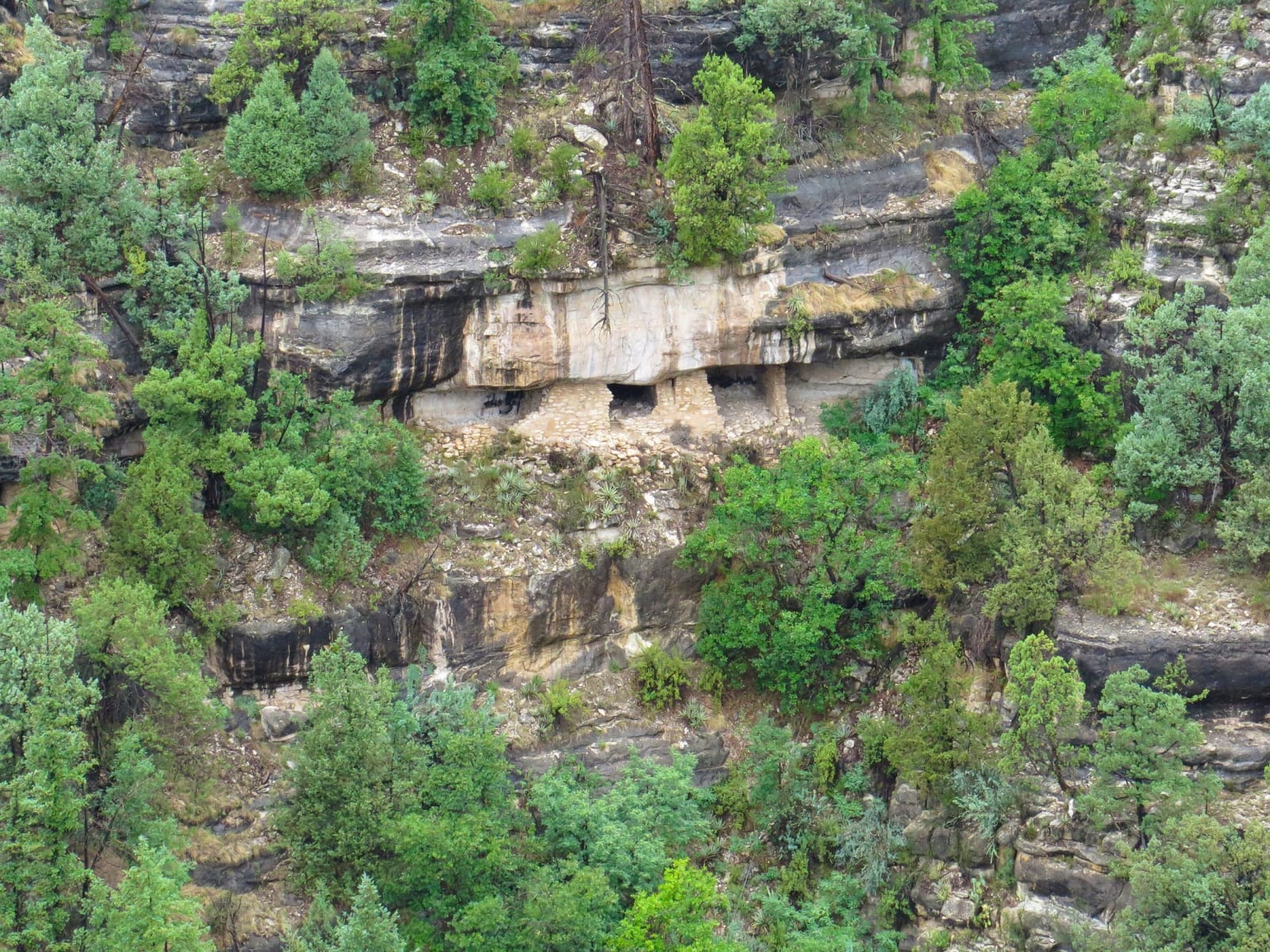
Ten miles east of Flagstaff, Walnut Creek cut a four-hundred-foot canyon through pale limestone, and in a bend where the creek loops almost back on itself the Sinagua built their homes into the cliff. Between roughly 1100 and 1250 they tucked small masonry rooms under the natural overhangs — walls of limestone slabs set in golden clay, low doorways, ledges that caught the winter sun — a vertical village in the rock. The Hopi, who trace their ancestry here, call these ancestors the Hisatsinom, "those who lived long ago."
The Island Trail is the way to see it: a mile-long loop that drops some 185 feet by a few hundred stone steps onto the "island" the creek's bend nearly encircles, threading past twenty-five of the cliff dwellings close enough to see the smoke-blackened ceilings and the fingerprints still set in the mortar. A gentler Rim Trail runs the canyon's edge above for anyone who'd rather skip the descent. It was women, by tradition, who laid up these walls. The people farmed corn, beans, and squash on the rims above and drew water from the creek and its seeps, and after about a century and a quarter they left — part of the broad thirteenth-century movement off the Colorado Plateau, most of them folding into the villages that became the Hopi and Zuni of today.
They were the same people, more or less, who built the Verde Valley cliff dwelling at Montezuma Castle to the south — one culture, spread across the high country and the desert below it. Walnut Canyon became a national monument in 1915, after the railroad brought looters who dug the rooms out for pots; a ranger had already been posted here to guard them. What survives is fragile and close: the Park Service asks visitors to look, not enter, because the plaster and the floors still hold what the walls remember.
Visitor Info
On the Map
A story featuring this place
Go deeper into the history and character of this stop
Nearby
The closest stops worth working into your route
Historical markers nearby
Roadside plaques and monuments within a short detour