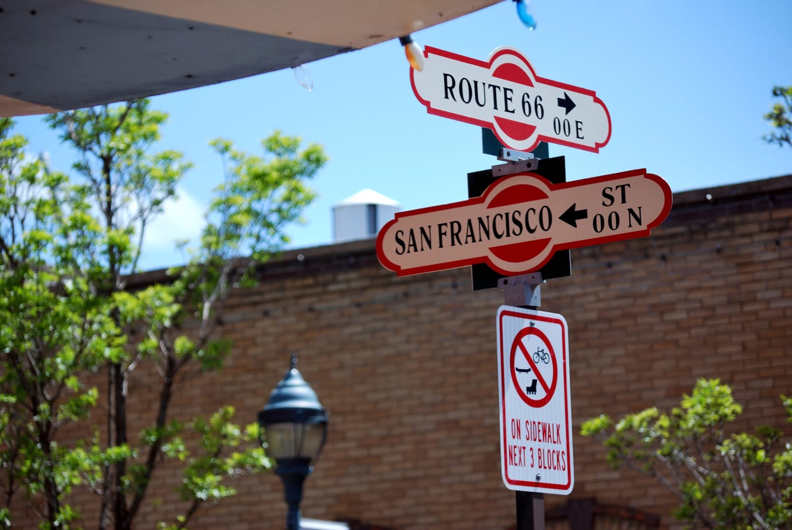
 Christopher Amrich from Agawam, United States / CC BY-SA 2.0 via Wikimedia Commons
The Story
Flagstaff is the high-country hinge of northern Arizona — a mountain town at nearly seven thousand feet, wrapped in the largest continuous ponderosa pine forest in North America, cool where the rest of the state is hot. The name comes, by the usual telling, from a ponderosa stripped into a flagpole to fly the colors on the Fourth of July, 1876; the railroad arrived in 1882, Route 66 came through later and never fully left, and downtown still runs on the Mother Road's neon and brick.
Its real distinction is overhead. In 1894 the Boston astronomer Percival Lowell built his observatory on a hill here for the clear, dark, high air and set it searching for a ninth planet he called Planet X. On February 18, 1930, a twenty-three-year-old Kansas farm hand named Clyde Tombaugh, comparing photographic plates night by night, found it — Pluto, discovered in Flagstaff, and now, by act of the legislature, the official state planet. NASA later sent Apollo astronauts to train on the black lava fields nearby because they looked like the Moon. The Museum of Northern Arizona, on the west edge of town, holds the region's deepest collection of Hopi, Navajo, and Zuni work and ties the whole plateau together.
Flagstaff has spent decades protecting the thing that made all of that possible. It passed the world's first outdoor-lighting ordinance in 1958, and in 2001 it became the world's first International Dark Sky City — its streetlights capped and shielded so the Milky Way still carries overhead on a clear night. It is a college town, a railroad town, a Route 66 town, and the practical basecamp for half of northern Arizona: the San Francisco Peaks rise at its back, and the Grand Canyon is ninety minutes up the road. Come for the canyon; stay a night for the sky.
Visitor Info
On the Map
A story featuring this place
Go deeper into the history and character of this stop
Nearby
The closest stops worth working into your route
Historical markers nearby
Roadside plaques and monuments within a short detour