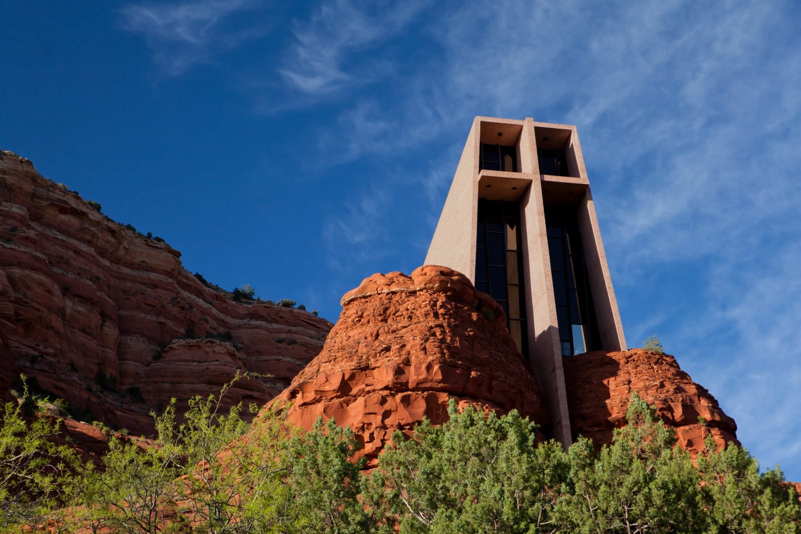
 Matthew P. Del Buono / CC BY-SA 3.0 via Wikimedia Commons
The Story
The rock is Schnebly Hill sandstone, laid down as coastal dunes some 280 million years ago and stained the color of rust by iron oxide, and at sunrise and sunset it does the thing everyone comes to see — Cathedral Rock, Bell Rock, Coffee Pot, the whole skyline burning orange against a hard blue sky. This is the eroding southern lip of the Colorado Plateau, and Oak Creek Canyon cuts a green seam straight down through it.
The town below the rocks is younger than almost anything it sells. In 1902 the postmaster general in Washington rejected Theodore Schnebly's suggestions — Oak Creek Crossing, Schnebly Station — as too long for a postmark, so the settlement took the first name of his wife, Sedona Miller Schnebly, and kept it. For its first forty years it was fifteen homesteading families growing apples and running cattle. Then Hollywood found the skyline: starting with the 1923 silent Call of the Canyon and running hard through the 1940s and '50s, close to a hundred Westerns were shot here, and locals took to calling the place Little Hollywood. Republic Pictures built a frontier-town set west of town in 1945; when it came down, the developers named the subdivision's streets Johnny Guitar and Last Wagon Drive after the pictures.
What draws the crowds now is partly the rock and partly a belief attached to it — the vortexes, the energy centers the New Age movement mapped onto Bell Rock and Cathedral Rock and Boynton Canyon around 1980, and never left. The galleries, the crystal shops, and the pink jeep tours all date from that turn.
None of it, of course, started with the Schneblys. This was Yavapai and Dilzhe'e — Tonto Apache — homeland, and the Sinagua farmed and built here for centuries before that; their cliff work still stands at Palatki and Honanki up the side canyons, and downstream at Montezuma Castle and Tuzigoot. The 1875 removal that emptied the valley is the harder story the red rock sits on — told in full on the region page. Come for the light on the sandstone. Stay long enough to learn whose ground it is.
Visitor Info
On the Map
A story featuring this place
Go deeper into the history and character of this stop
Nearby
The closest stops worth working into your route
Historical markers nearby
Roadside plaques and monuments within a short detour