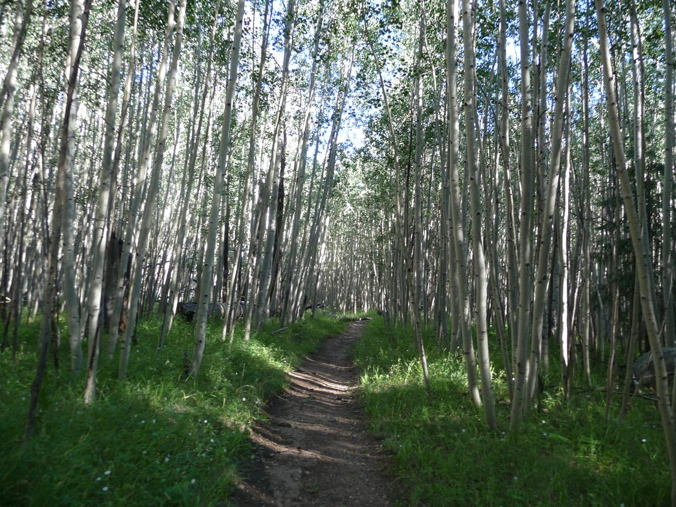
 Coconino National Forest / CC BY-SA 2.0 via Wikimedia Commons
The Story
Rising north of Flagstaff, the San Francisco Peaks are the highest ground in Arizona — Humphreys Peak tops out at 12,633 feet — and to thirteen Native nations they are not a summit but a sacred being. To the Diné they are Dook'o'oosłííd, the mountain that never fully melts, the westernmost of the four sacred mountains the Creator set to bound the Navajo world; medicine people gather herbs on its slopes, and the umbilical cords of Diné children are buried here. To the Hopi they are Nuvatukya'ovi, where the katsina spirits live for half the year and gather the clouds that carry rain back to the mesas. The honest way to see the Peaks is to lead with that, not with the ski lift.
Geologically they are the wreck of a single great volcano. The Peaks were once a stratovolcano that may have stood near 16,000 feet before it collapsed and glaciers ground it down, leaving a horseshoe of summits — Humphreys, Agassiz, Fremont — open around the Inner Basin where the crater used to be. They anchor the San Francisco Volcanic Field, some six hundred vents scattered across the plateau, whose youngest cone, Sunset Crater, erupted less than a thousand years ago; their upper slopes hold the only true alpine tundra in Arizona, home to a wildflower that grows nowhere else on earth.
The argument the region can't settle plays out on those slopes. The Arizona Snowbowl ski area, on the mountain since 1938, won the legal right to make artificial snow from treated wastewater; the Navajo Nation and Hopi Tribe fought it to the Ninth Circuit and lost, and snowmaking began in 2012 over their sustained objection. To the tribes it is the desecration of a church; to the resort it is water rights and a season on the slopes. Both are true at once, and the mountain holds them the way it holds the snow — for now.
Visitor Info
On the Map
A story featuring this place
Go deeper into the history and character of this stop
Nearby
The closest stops worth working into your route
Historical markers nearby
Roadside plaques and monuments within a short detour