 KMPhotoLA1 / CC BY-SA 4.0 via Wikimedia Commons
The Story
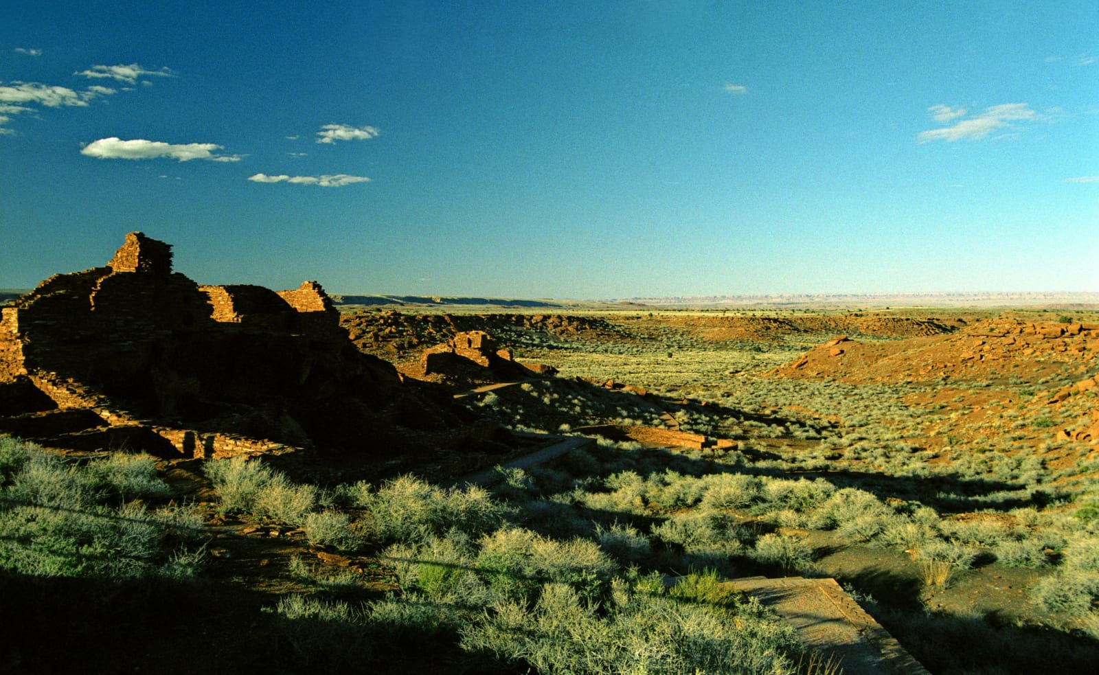
After Sunset Crater erupted, the people came back — not to the buried farms, but to the country just northeast, where a thin blanket of new cinder turned out to hold moisture in ground that had been too dry to work. Within a century the Wupatki Basin was one of the most densely settled places in the northern Southwest, and its centerpiece still stands: Wupatki Pueblo, a hundred rooms of red Moenkopi sandstone rising straight out of the same red rock, the tallest and largest building for fifty miles in any direction.
It was a crossroads as much as a town. Wupatki sits where the Colorado Plateau's peoples met and traded — ancestral Puebloan builders the archaeologists call Sinagua, mingling with Kayenta and Cohonina neighbors — and it carries the marks of that reach: a masonry ballcourt, the northernmost yet found on the continent, an idea borrowed from cultures far to the south, and beside it a geologic blowhole that breathes air in and out of a vast underground fracture system, which the people surely noticed and almost certainly did not ignore. Smaller pueblos dot the basin around it — Wukoki's three-story tower, the never-excavated Citadel, Lomaki's "beautiful house." By the mid-1200s Wupatki was left, part of the same wide withdrawal that emptied the plateau's pueblos.
But "left" is the wrong word to the people whose ancestors built it. The Hopi hold that those who lived and died at Wupatki remain as spiritual guardians, and Hopi, Zuni, and Navajo families still return; in the Park Service's own careful phrasing, Wupatki is remembered and cared for, not abandoned. The red walls stand behind the visitor center, an easy walk, the Painted Desert opening beyond — and the same ancestral Puebloan world reached south to the cliff houses at Walnut Canyon, below Flagstaff, where other families sheltered in the limestone in the very same years.
Visitor Info
On the Map
A story featuring this place
Go deeper into the history and character of this stop
Nearby
The closest stops worth working into your route
Historical markers nearby
Roadside plaques and monuments within a short detour