Home / Oregon / Crater Lake & the Klamath Basin / Upper Klamath Lake
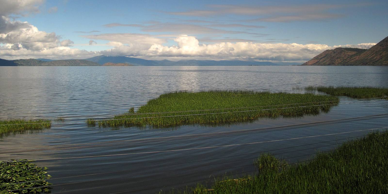
Upper Klamath Lake stretching to distant hills, beds of marsh grass at the near shoreDowntowngal / CC BY-SA 3.0 via Wikimedia Commons
🌲Natural

Upper Klamath Lake

Part ofCrater Lake & the Klamath Basin
On this driveKlamath Falls to Crater Lake and the Rim Drive

Oregon's largest lake, wide and shallow, where farms, endangered suckers and, since 2024, returning salmon all need the same water.

Native American HeritageSpringFall
⏱
Duration
A stop at a shore pullout; half a day for the canoe trail.
📅
Best Season
Spring and fall for migrating waterfowl; late summer brings algae blooms on the lake.

The Story

Upper Klamath Lake runs nearly thirty miles north to south and up to eight miles across, the largest body of fresh water in Oregon, and it is shallow, averaging about fourteen feet. It is the largest remnant of an Ice Age lake that once joined it to Lower Klamath and Tule lakes. Its marshes and its rivers, the Williamson, the Wood and the Sprague, fed one of the great waterfowl flyways of the West, and the c'waam and koptu, the Lost River and shortnose suckers that ran up those rivers each spring, fed the Klamath people.

The lake is also the main reservoir of the Bureau of Reclamation's Klamath Project, which irrigates some 200,000 acres of farmland to the south. When the suckers were listed as endangered in 1988, the lake's level became a federal decision, and in a drought year there is not enough water to hold the lake up for the fish, send enough down the river for salmon and fill the farm canals. In April 2001 the government announced that no irrigation water would come from the lake that season. On May 7 more than ten thousand people formed a bucket brigade in Klamath Falls in protest. In 2021 the canals were shut off again.

Downstream, the four lower Klamath River dams came out between 2023 and 2024, the largest dam removal anywhere. That October Oregon biologists found a fall chinook in a tributary above the site of the old J.C. Boyle Dam, the first salmon back in Oregon's part of the basin since 1912. The Klamath Tribes welcomed them home as c'iyaal's, relatives. US-97 follows the lake's east shore north of Klamath Falls; on the west side, the Upper Klamath National Wildlife Refuge keeps a canoe trail through the marsh.

Visitor Info

⏱
Time Needed
A stop at a shore pullout; half a day for the canoe trail.
📅
Best Season
Spring and fall for migrating waterfowl; late summer brings algae blooms on the lake.
🛣️
Highway
US-97

On the Map

Nearby

The closest stops worth working into your route

industrial18 mi away
Collier Memorial State Park and Logging Museum
An outdoor museum of a century of logging machinery in the pine woods north of Klamath Falls, given to the state by a lumberman and his banker brother.
historical23 mi away
Fort Klamath
The army post that reached the Wood River Valley four years before Klamath Falls existed, and the treaty signed near it that put three peoples on one reservation.
architectural40 mi away
Crater Lake Lodge
A hotel on the caldera rim that opened in 1915 with tar paper on its walls, was never quite finished, came close to demolition, and is now mostly new behind its old face.
historical43 mi away
Watchman Lookout
A 1932 fire lookout on an 8,013-foot rim peak, built to watch for smoke and to teach hikers at the same time, straight above Wizard Island.
cultural48 mi away
Oregon Shakespeare Festival
A summer Shakespeare season that grew from one roofless 1935 performance into one of the country's largest repertory theaters, then had to ask for an emergency rescue in 2023.
geological58 mi away
The Table Rocks
Two horseshoe mesas the Takelma called Ti'tanak, where the 1853 treaty was signed at the foot of one, with a wildflower on top that grows nowhere else.

Historical markers nearby

Roadside plaques and monuments within a short detour

Marker10 mi away
Upper Klamath Lake
Marker19 mi away
Williamson River
Marker20 mi away
Applegate Trail