Home / Oregon / Crater Lake & the Klamath Basin / Fort Klamath
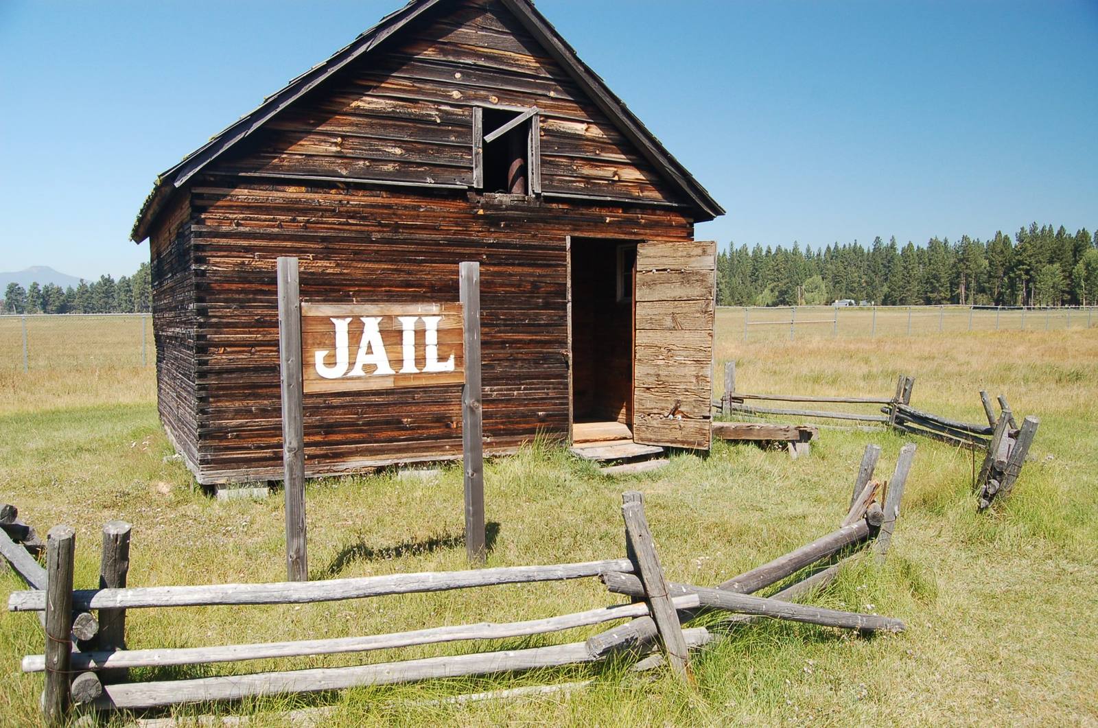
A weathered plank building signed Jail behind a split-rail fence at the Fort Klamath site in the Wood River ValleyA. E. Crane, U.S. Department of Transportation / public domain via Wikimedia Commons
🏛️Historical

Fort Klamath

Part ofCrater Lake & the Klamath Basin
On this driveKlamath Falls to Crater Lake and the Rim Drive

The army post that reached the Wood River Valley four years before Klamath Falls existed, and the treaty signed near it that put three peoples on one reservation.

Native American HeritageSummer
⏱
Duration
Half an hour.
📅
Best Season
June through September, when the museum is open; the grounds and graves can be visited year-round.

The Story

In the summer of 1863 a company of the First Oregon Cavalry rode into the Wood River Valley, above the north end of Upper Klamath Lake, to build a post at the edge of Klamath country. Its stated job was guarding the emigrant road through southern Oregon. Its effect was to open the upper basin to white ranchers and farmers; Linkville, the town that became Klamath Falls, was not founded until almost four years later.

On October 15, 1864, at Council Grove near the fort, the government signed a treaty with the Klamath, the Modoc and the Yahooskin band of Northern Paiute. It took most of the basin, set aside the Klamath Reservation just south of the post, and put the three peoples, who had been rivals, on the same ground. The Modoc gave up their homeland along the Lost River and around Tule and Lower Klamath lakes. Many would not stay on land shared with the Klamath, and the army's attempt to force a band back from the Lost River in 1872 began the Modoc War. When it ended, the fort held the prisoners, six leaders in the guardhouse and more than a hundred and fifty Modoc men, women and children in a stockade. The four men executed here are buried in the meadow.

The post grew to dozens of buildings, a sawmill, a hotel and a theater among them, and then outlived its use. President Cleveland ordered it closed in 1886, and the last troops left in 1890. Nothing of the original fort stands. Klamath County acquired eight acres of the site in 1966, and a museum built in 2002 to the old guardhouse's design stands where the guardhouse did, with exhibits on the fort and the war. It is open in summer.

Visitor Info

⏱
Time Needed
Half an hour.
📅
Best Season
June through September, when the museum is open; the grounds and graves can be visited year-round.
🛣️
Highway
OR-62

On the Map

Nearby

The closest stops worth working into your route

industrial5.8 mi away
Collier Memorial State Park and Logging Museum
An outdoor museum of a century of logging machinery in the pine woods north of Klamath Falls, given to the state by a lumberman and his banker brother.
architectural17 mi away
Crater Lake Lodge
A hotel on the caldera rim that opened in 1915 with tar paper on its walls, was never quite finished, came close to demolition, and is now mostly new behind its old face.
historical20 mi away
Watchman Lookout
A 1932 fire lookout on an 8,013-foot rim peak, built to watch for smoke and to teach hikers at the same time, straight above Wizard Island.
natural23 mi away
Upper Klamath Lake
Oregon's largest lake, wide and shallow, where farms, endangered suckers and, since 2024, returning salmon all need the same water.
cultural51 mi away
Oregon Shakespeare Festival
A summer Shakespeare season that grew from one roofless 1935 performance into one of the country's largest repertory theaters, then had to ask for an emergency rescue in 2023.
geological52 mi away
The Table Rocks
Two horseshoe mesas the Takelma called Ti'tanak, where the 1853 treaty was signed at the foot of one, with a wildflower on top that grows nowhere else.

Historical markers nearby

Roadside plaques and monuments within a short detour

Marker5.8 mi away
Williamson River