 Dhtrible / CC BY-SA 3.0 via Wikimedia Commons
The Story
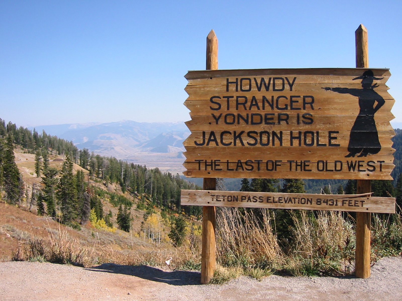
Teton Pass carries Wyoming Highway 22 over the southern end of the Teton Range at 8,431 feet, between Wilson in Jackson Hole and Victor, Idaho. Long before there was a road it was a trail, used by the peoples who came over into the valley to hunt each summer, and in the fall of 1811 three trappers, John Hoback, Jacob Reznor and Edward Robinson, led Wilson Price Hunt's overland Astorians across it on their way to the Pacific.
Wagons came later and with difficulty. Sources disagree on whether the first, hauled over empty, crossed in 1886 or 1888. In the fall of 1889 the Wilson and Cheney families, Latter-day Saints who had left Wilsonville, Utah, at the end of May, cut trees to widen the old trail and brought six covered wagons and five families over, reaching the valley on November 11. Elijah Nicholas Wilson, Uncle Nick, who had talked them into coming, opened a hotel and post office at the foot of the pass in 1893, and the town there took his name.
The Forest Service graded the first real road up from Wilson beginning in 1913 and widened it in 1928, and drivers used it until the present highway, built at a ten percent grade, opened in 1969. The old road is now a surfaced path for walkers and cyclists. On June 8, 2024, after a wet spring, a section of the highway built up with fill in the 1960s, the Big Fill at milepost 12.8, slid off the mountain. The road was cut for three weeks until a detour opened on June 28, and the rebuilt section was finished in the summer of 2025. In places nearly ten thousand vehicles a day cross the pass, most of them people who live on one side and work on the other.
Visitor Info
On the Map
Nearby
The closest stops worth working into your route
Historical markers nearby
Roadside plaques and monuments within a short detour