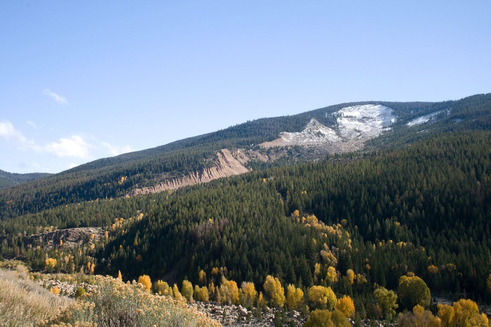
 Ealdgyth / CC BY 3.0 via Wikimedia Commons
The Story
At about four in the afternoon of June 23, 1925, after a wet spring and weeks of rain, the north face of Sheep Mountain let go. Some fifty million cubic yards of sandstone slid on a bed of shale into the Gros Ventre valley in a matter of minutes, rode about three hundred feet up the opposite slope and left a dam more than two hundred feet high across the river. Guil Huff, a rancher riding along the river that afternoon, watched it come down. By the next morning his house stood in eighteen inches of water from the lake rising behind the new dam.
Engineers came to study the dam and judged it permanent and safe. Two springs later, after a heavy winter and more rain, the lake rose over the top, and on May 18, 1927, part of the dam gave way. A flood of water, mud and rock ran down the valley and through the town of Kelly, leaving little standing but the church and the schoolhouse. Six people died. Ranger Dibble of the Forest Service had seen a hayrack that had floated on the lake since 1925 coming down the river and raised the alarm, and that warning is why the toll was not higher.
The scar still shows plainly across the valley. The Forest Service made it a geological area in 1962, and an interpretive trail on the Gros Ventre Road east of Kelly looks out over the slide and Lower Slide Lake, much smaller since the flood.
Visitor Info
On the Map
Nearby
The closest stops worth working into your route
Historical markers nearby
Roadside plaques and monuments within a short detour