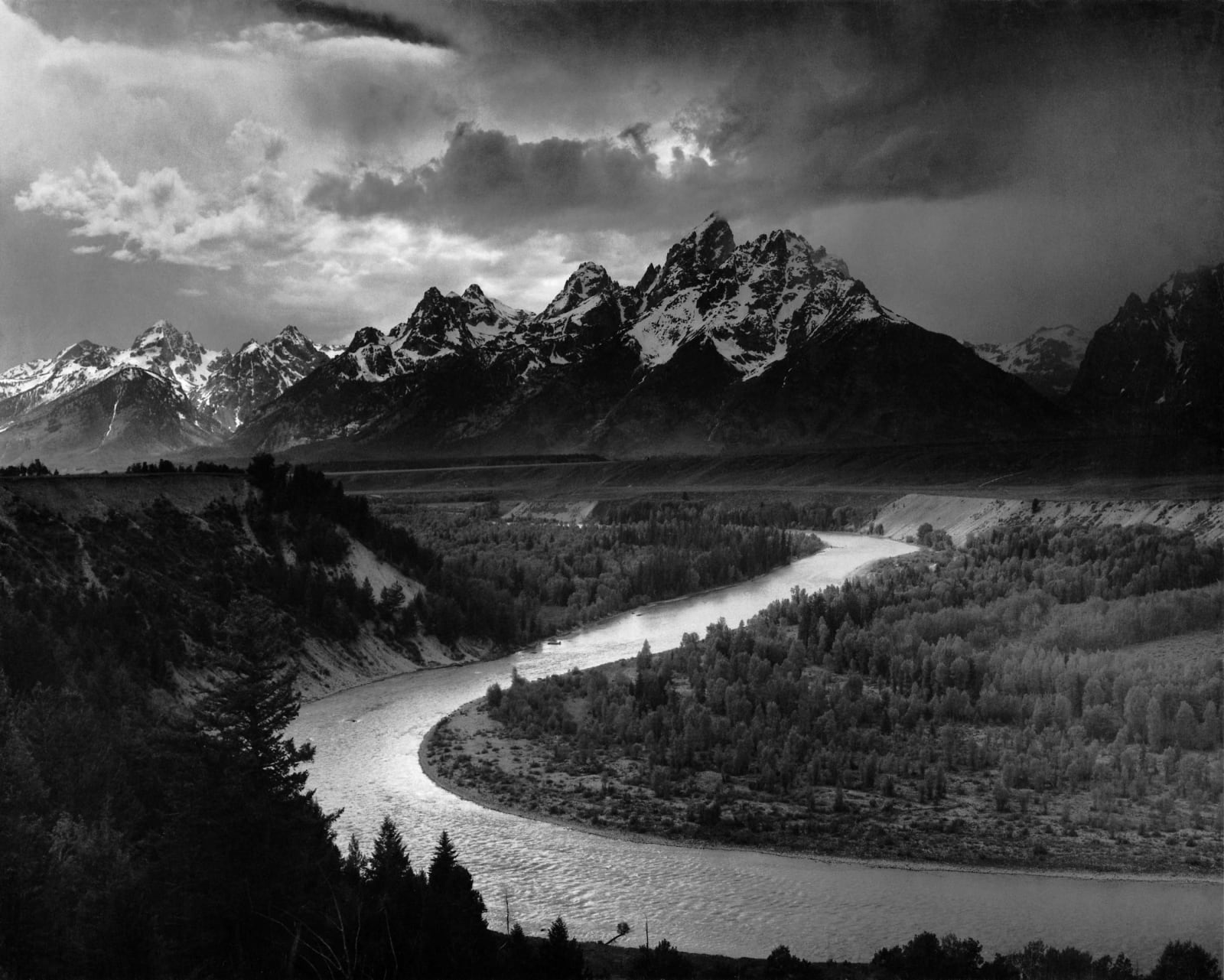
Jackson Hole & the Tetons
Summer country for five nations, the 1920 town council of women, the valley Rockefeller bought through a front company, and the peaks that rise with no foothills at all.
Jackson Hole was summer country. The Shoshone, Bannock, Crow, Blackfeet and Gros Ventre came over the passes to hunt and gather and left before winter shut the valley. The fur trappers named it for one of their own, David Jackson, and the town took the name in 1894. On May 11, 1920, Jackson elected a mayor and four council members who were all women; the new council appointed women as town marshal, clerk and treasurer, and Rose Crabtree won her seat by outpolling her own husband.
Congress made the peaks a national park in 1929 but left the valley floor out after ranchers objected. John D. Rockefeller Jr. had already begun buying the valley in 1927 through the Snake River Land Company, a Utah corporation that hid both his name and his plan to give the land to the park. When the truth came out the valley turned against it, and Congress would not enlarge the park. On March 15, 1943, Franklin Roosevelt went around Congress and proclaimed 221,000 acres the Jackson Hole National Monument. The fight ended on September 14, 1950, when the park, the monument and Rockefeller's donated land were merged into one Grand Teton National Park, at a price written into the law: no president may proclaim another national monument in Wyoming without the consent of Congress.
The Tetons stand about seven thousand feet above the valley with no foothills between, because for roughly the last ten million years the range has been rising along the Teton fault while the floor of Jackson Hole drops. The Grand Teton tops out at 13,775 feet.
What to See in Jackson Hole & the Tetons
6 places across the region, grouped by what they are.
Geology & Rock Formations
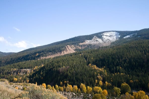
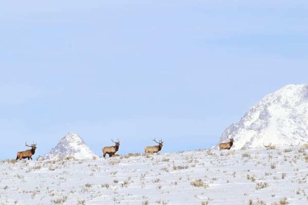
Natural Areas
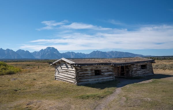
Historic Sites

Scenic Drives through Jackson Hole & the Tetons
Teton Park Road: Jackson to Moran
Up the valley under the Tetons: Bill Menor's ferry and Maud Noble's chapel at Moose, the lake named for a Newe woman, and the dam that made Jackson Lake a reservoir for Idaho.
WY-22 and ID-33: Teton Pass to Teton Valley
The only paved road over the Teton Range: up a ten percent grade from Wilson, past the hairpin that slid off the mountain in 2024, and down into the old Pierre's Hole on the back side of the peaks.
Stories from Jackson Hole & the Tetons
Jackson Hole & the Tetons rewards the unhurried. Pick a base, fan out, and let the country between the headline stops surprise you.
← Explore more of Open Road Guide