Home / Wyoming / Casper & the Oregon Trail / Sun Ranch and Devil's Gate
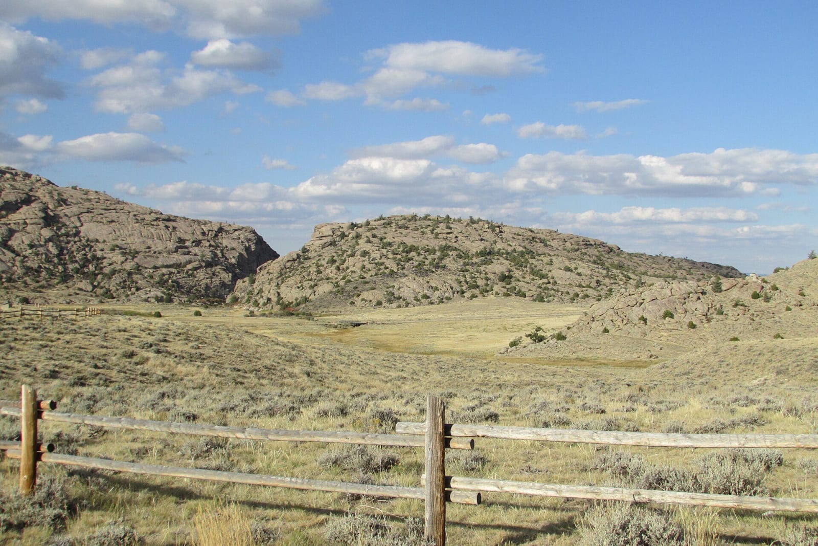
The notch of Devil's Gate cut through a granite ridge, seen across sagebrush range behind a rail fenceChris Light / CC BY-SA 4.0 via Wikimedia Commons
🏛️Historical

Sun Ranch and Devil's Gate

Part ofCasper & the Oregon Trail
On this driveThe Emigrant Road: Fort Laramie to South Pass

Tom Sun's 1872 cattle ranch at Devil's Gate, sold in 1996 to the church for whom the cove nearby is sacred, and the fight over who should hold that cove.

Pioneer History
⏱
Duration
Two hours with the walks.
📅
Best Season
Late spring through fall.

The Story

Tom Sun, a French-Canadian frontiersman, started a cattle ranch beside Devil's Gate in 1872, on the emigrant road where the Sweetwater cuts through the granite, and his family ran it for well over a century. By 1882 it was already held up as a model western cattle ranch, and in 1960 it was made a National Historic Landmark. The family kept a room of the ranch house as a museum of their own history.

In 1996 the Suns sold the ranch, about 13,000 acres with grazing permits on some 80,000 more, to the Church of Jesus Christ of Latter-day Saints, for whom the cove a few miles away is a sacred place: the Martin handcart company sheltered there in November 1856. The church restored the ranch house as its visitor center. The cove itself is federal land, and the church's attempts to buy it drew opposition in Congress and among trail historians. It took a lease from the Bureau of Land Management instead, later a 25-year lease running from 2004 to 2029, and an ACLU suit over the proselytizing of visitors on the way to the cove ended in a settlement. In 2026 a proposed land trade that would give the church the 933 acres around the cove was again gaining support.

Trails lead from the ranch to Devil's Gate and to the cove, and the church lends handcarts to those who want to pull one.

Visitor Info

⏱
Time Needed
Two hours with the walks.
📅
Best Season
Late spring through fall.
🛣️
Highway
WY-220

On the Map

Nearby

The closest stops worth working into your route

historical5.6 mi away
Independence Rock State Historic Site
A granite whaleback named before the wagons came, by trappers in 1824 or Sublette in 1830, and polished by wind until it took names easily.
historical48 mi away
Fort Fred Steele State Historic Site
A fort built in 1868 to guard the Union Pacific's North Platte crossing, which became the collecting yard for railroad ties floated down the river.
historical51 mi away
Fort Caspar Museum
The crossing before the fort: the Mormon ferry of 1847 and Guinard's toll bridge of 1859, rebuilt beside the 1936 log station.
cultural72 mi away
St. Stephen's Mission
A Jesuit mission on land the Arapaho leader Black Coal chose, its church painted with Arapaho designs, its boarding school named for what it was.
historical81 mi away
South Pass City State Historic Site
The Carissa lode built the town in a year; the mine outlived the boom by eight decades, and its mill runs again for visitors.
geological86 mi away
Sinks Canyon State Park
A river that vanishes into a limestone cave and comes back a quarter mile on, slower than it should, warmer, and with more water than went in.

Historical markers nearby

Roadside plaques and monuments within a short detour

Marker0.1 mi away
Tom Sun Ranch
Marker0.1 mi away
The Pioneer Women
Marker0.1 mi away
The Oregon Trail