Home / Wyoming / Wind River Country / South Pass City State Historic Site
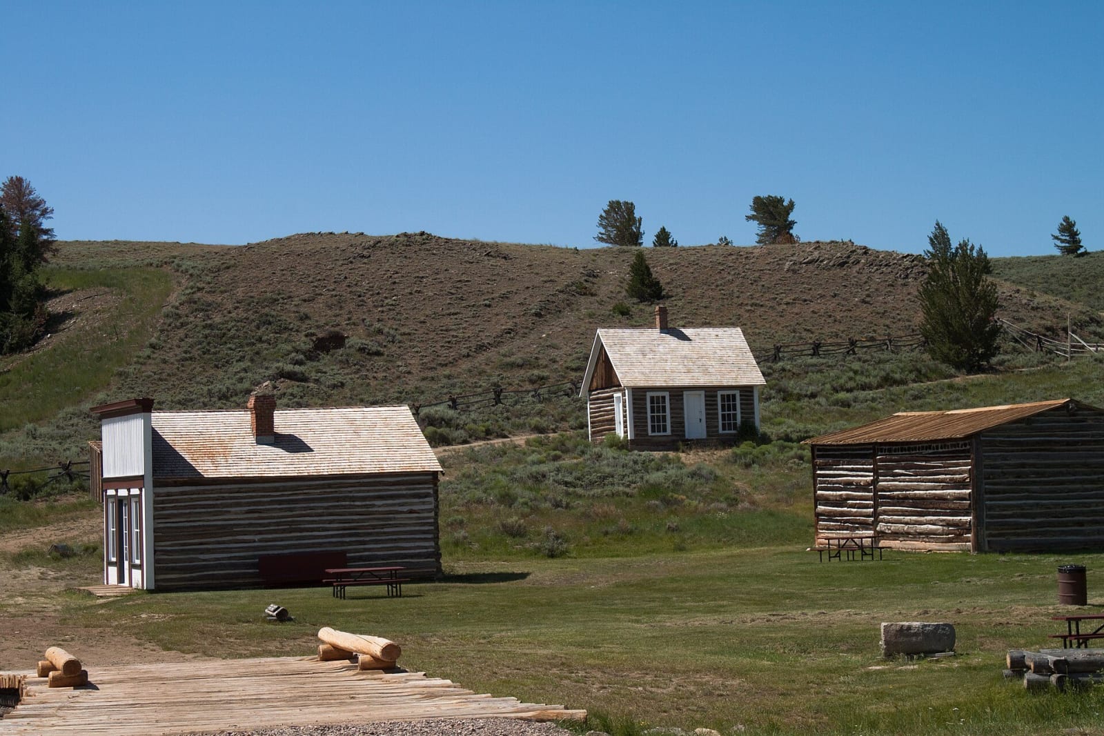
Restored log and frame buildings of South Pass City on a grassy slope, sagebrush hills behindAnna-Katharina Stöcklin / CC BY-SA 3.0 via Wikimedia Commons
🏛️Historical

South Pass City State Historic Site

Part ofWind River Country
On this driveThe Emigrant Road: Fort Laramie to South Pass

The Carissa lode built the town in a year; the mine outlived the boom by eight decades, and its mill runs again for visitors.

Mining BoomPaid EntryGhost Towns
⏱
Duration
Two to three hours with a mine tour.
📅
Best Season
Summer.

The Story

The town grew from one gold lode. The Carissa was found in 1867 on the hill above Willow Creek, and within a year South Pass City had hundreds of buildings, about a thousand people and claims staked along the gulch. The Carissa was the largest and most productive mine in the Sweetwater district, but its ore ran deep and needed costly machinery, and the boom it started was short. In 1885 Bolivar Roberts, brother of one of the lode's first claimants, gathered the Carissa and its neighbors into the Carissa Gold Mining Company. The mine was worked, leased out and reworked on and off into the twentieth century, and when it finally closed in 1954 its machinery was stripped out and sold.

The state bought the townsite in 1966 as a seventy-fifth birthday present to Wyoming, and the historic district now takes in more than seventy structures, among them a stamp mill and the remains of brick kilns. In 2003 the state bought the 200-acre Carissa property too, made the old workings safe and spent ten years putting ore-processing equipment back into the mill, restoring it to its appearance of 1929. Guided tours now run the machinery. The site is two miles off WY-28 south of Lander.

Visitor Info

⏱
Time Needed
Two to three hours with a mine tour.
📅
Best Season
Summer.
🛣️
Highway
WY-28

On the Map

Nearby

The closest stops worth working into your route

geological18 mi away
Sinks Canyon State Park
A river that vanishes into a limestone cave and comes back a quarter mile on, slower than it should, warmer, and with more water than went in.
historical37 mi away
Chief Washakie's Grave
The Army buried the Eastern Shoshone leader with full honors in 1900; his gravestone praises his loyalty to whites and leaves the rest out.
geological40 mi away
Boar's Tusk and the Killpecker Dunes
The throat of a vanished volcano made of rock from the mantle, standing over a fifty-five-mile river of dunes that crosses the Continental Divide.
cultural41 mi away
St. Stephen's Mission
A Jesuit mission on land the Arapaho leader Black Coal chose, its church painted with Arapaho designs, its boarding school named for what it was.
cultural60 mi away
Museum of the Mountain Man
Six fur-trade rendezvous met near here on the Green; the only artist who ever saw one, Alfred Jacob Miller, came in 1837.
historical74 mi away
Names Hill State Historic Site
The Sublette Cutoff's register cliff above the Green River crossing, where the most famous name, Jim Bridger's, is probably not his.