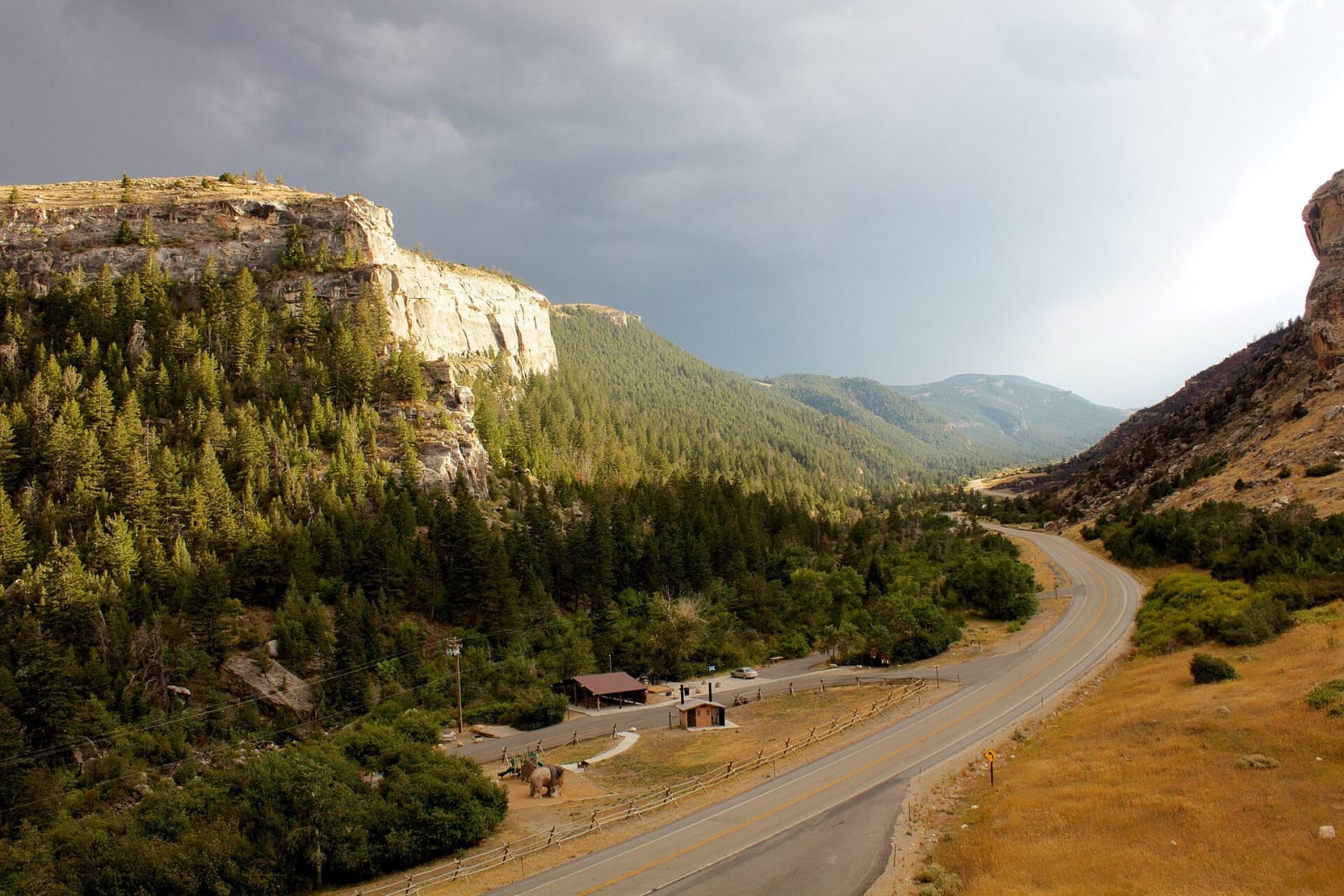
 dayvayen / CC BY-SA 2.0 via Wikimedia Commons
The Story
The Middle Fork of the Popo Agie comes down out of the Wind River Range and, about six miles above Lander, pours into a cave in limestone some 330 million years old and is gone. A quarter mile down the canyon, across the highway, it wells up again in a quiet pool called the Rise, where big trout hold in the current. For years no one could prove it was the same water. In 1983 scientists from the U.S. Geological Survey poured fluorescent dye in at the Sinks; it took about two hours to first show at the Rise, a few hundred yards away, and three or four hours to clear. They also found that more water comes out at the Rise than goes in at the Sinks, and that it comes out a few degrees warmer. The whole route underground has never been traced.
The name Popo Agie is Crow, usually given as gurgling river and pronounced roughly po-PO-shuh. The park was created in 1970, the first under the state's new recreation commission. It has a visitor center at the Sinks, an observation deck above the Rise, campgrounds, and trails up the canyon toward the Popo Agie Falls.
Visitor Info
On the Map
Nearby
The closest stops worth working into your route
Historical markers nearby
Roadside plaques and monuments within a short detour