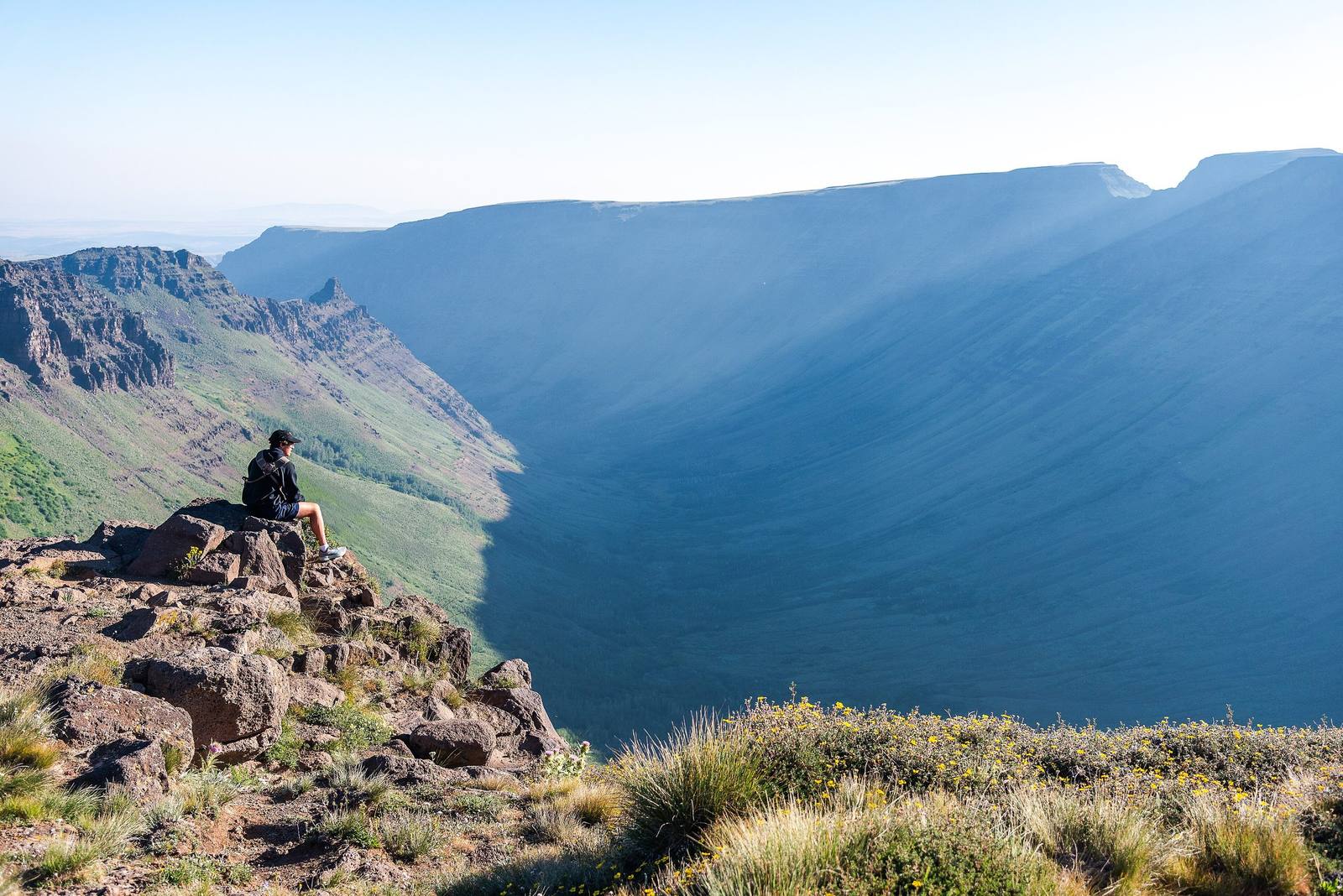
 Loren Kerns / CC BY 2.0 via Wikimedia Commons
The Story
Steens Mountain is one block of the earth's crust, tipped on its side. Between about fifteen and eight million years ago, basalt flows piled up here layer on layer; then movement along a great fault on the east side lifted the block and tilted it westward, so that from Frenchglen the mountain rises as a long, gentle ramp of sagebrush and aspen, and at the top it ends at a rim that falls more than a mile to the Alvord Desert. It is the largest fault-block mountain in the northern Great Basin, some thirty miles long, and its high point is 9,733 feet.
In the ice ages glaciers cut into the ramp and left four great U-shaped gorges, Kiger, Little Blitzen and Big Indian among them. Kiger Gorge, the most dramatic, is about two thousand feet deep, with a notch in its east wall where a smaller glacier from a side valley cut through. Wild horses run in the Kiger country below, and bighorn sheep work the east rim. Basque sheepherders, many of whom came to southeastern Oregon in the late 1800s, summered flocks on the mountain and carved names and dates into the aspen bark, some of them decades old. In 2000 Congress made about 428,000 acres a cooperative management and protection area, including some 170,000 acres of wilderness, the first in Oregon's high desert.
The Steens Mountain Loop Road, a gravel byway of about fifty-two miles starting at Frenchglen, climbs to within a short walk of the summit and is the highest road in Oregon, with overlooks into Kiger Gorge and off the East Rim to the playa below. The upper road usually opens in early July and closes by mid-October.
Visitor Info
On the Map
Nearby
The closest stops worth working into your route