Home / Kansas / Cheyenne Bottoms & the Great Bend / Quivira National Wildlife Refuge
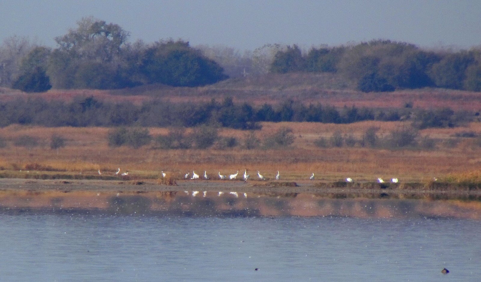
Whooping cranes stand in a line at the edge of the Big Salt Marsh, with autumn grass and trees beyond.USFWS / public domain via Wikimedia Commons
🌲Natural

Quivira National Wildlife Refuge

Part ofCheyenne Bottoms & the Great Bend

A rare inland salt marsh on Rattlesnake Creek, fed by salty groundwater, where whooping cranes stop on migration and the refuge's senior water right keeps coming up short.

⏱
Duration
Two to four hours.
🎟
Admission
No entrance fee is listed. Open daily from 1.5 hours before sunrise to 1.5 hours after sunset.
📅
Best Season
September through December and March through April for migrants; spring and summer for nesting snowy plovers, avocets, stilts and least terns.

The Story

Quivira is a salt marsh in the middle of the continent. Salty groundwater rises toward the surface here through springs and seeps and into Rattlesnake Creek, carrying halite and anhydrite out of the shallow Cedar Hills Sandstone and the Salt Plain Formation. Little Salt Marsh runs about 2,500 parts per million of chloride and Big Salt Marsh between 5,000 and 10,000, against 250 for drinking water and 19,000 for seawater.

Waterfowl have used the two marshes as long as anyone knows, and shortly after 1900 commercial hunters were sending wagonloads of ducks and geese to Kansas City restaurants. The refuge was approved in May 1955 as the Great Salt Marsh National Wildlife Refuge, renamed Quivira in 1958 after the Spanish name for the region, and completed at 22,135 acres in 1998. It is critical habitat for the endangered whooping crane, which stops mainly in late October and November and again in March and April; counts of 40 or more at once have been logged around Big Salt Marsh.

Rattlesnake Creek depends on groundwater that upstream irrigation wells also pump. The refuge holds a 1957 state water right for more than 14,000 acre-feet a year, senior to many of the farms. A 2016 state analysis found that upstream pumping regularly and significantly impaired it, and regulators found the refuge short of its water in two of every three years from 2008 to 2021. From the visitor center at the south end, an auto-tour road circles Big Salt Marsh, and a tower overlooks Little Salt Marsh.

Visitor Info

⏱
Time Needed
Two to four hours.
🎟
Admission
No entrance fee is listed. Open daily from 1.5 hours before sunrise to 1.5 hours after sunset.
📅
Best Season
September through December and March through April for migrants; spring and summer for nesting snowy plovers, avocets, stilts and least terns.
🛣️
Highway
US-50

On the Map

Nearby

The closest stops worth working into your route

historical20 mi away
Ellinwood Underground
The basement storefronts under the sidewalks of an 1880s German railroad town on US-56, where a harness maker padlocked his shop in 1920 and left everything behind.
historical25 mi away
Barton County Historical Society Museum and Village
A village of buildings brought in from around Barton County to a lot on US-281 just south of Great Bend, from an 1898 limestone church to a steel Lustron house of 1950.
cultural25 mi away
Coronado Quivira Museum
Lyons's museum of Quivira, the country of grass-lodge towns where the Wichita people's ancestors lived when Coronado arrived in 1541, and of the Rice County newspapermen who connected the two.
natural27 mi away
Cheyenne Bottoms and the Kansas Wetlands Education Center
A 41,000-acre natural sink northeast of Great Bend, diked into shallow pools where a large share of the continent's migrating shorebirds stop to feed on the mudflats each spring and fall.
attraction31 mi away
Cosmosphere
Hutchinson's space museum, begun in 1962 with a used star projector in a fairgrounds poultry building, now home to the Apollo 13 command module and Liberty Bell 7.
industrial34 mi away
Strataca
An underground museum 650 feet down in Hutchinson's working salt mine, reached through a shaft sunk in 2004 by freezing the aquifer above the Permian salt.

Historical markers nearby

Roadside plaques and monuments within a short detour

Marker22 mi away
The Land of Quivira
Marker24 mi away
Fort Zarah
Marker30 mi away
Pawnee Rock