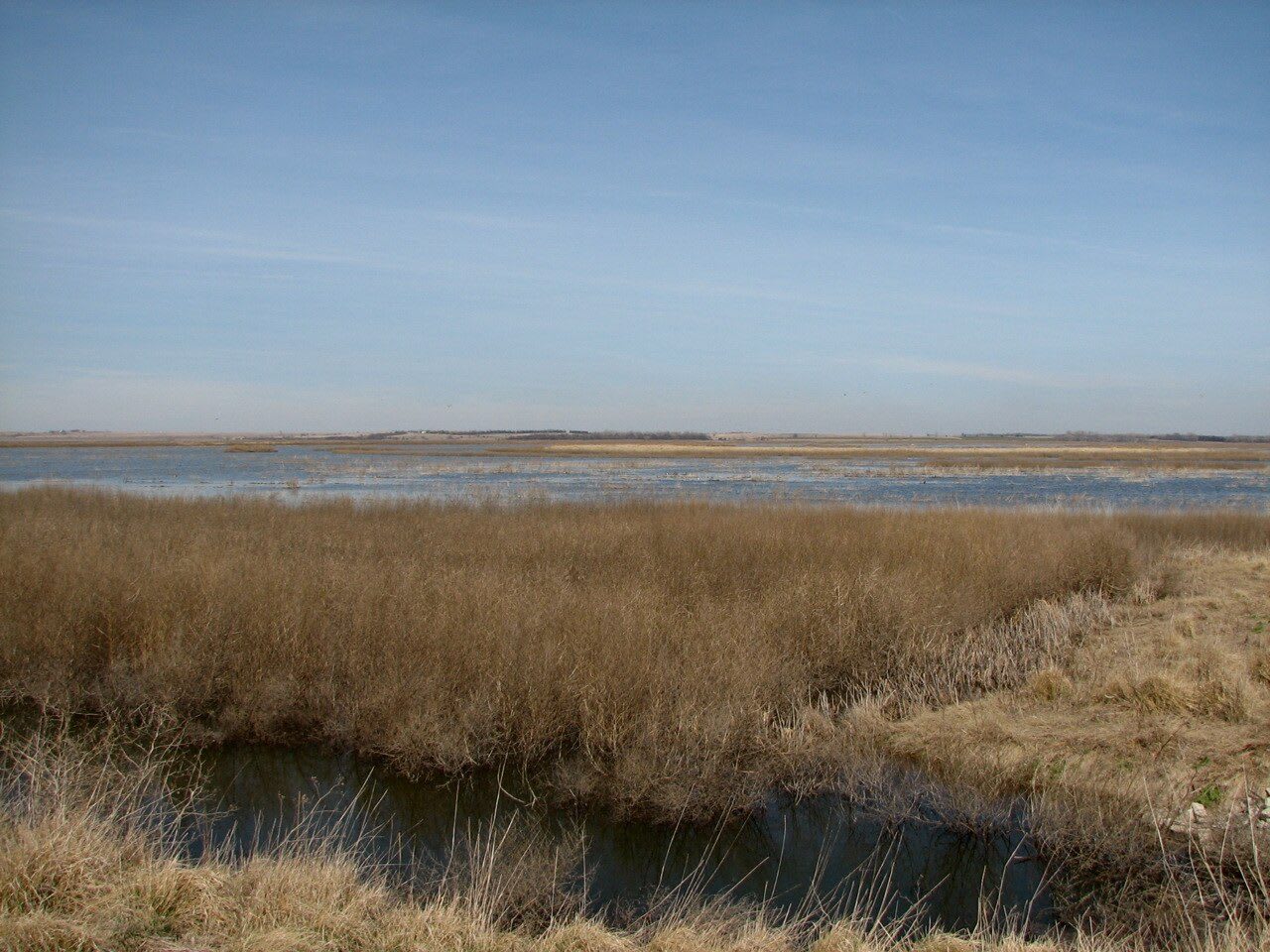
 designatednaphour / CC BY 2.0 via Wikimedia Commons
The Story
Nobody is quite sure why Cheyenne Bottoms is here. The basin is an elliptical sink of about 64 square miles, bordered on the north, south and west by Cretaceous limestone and sandstone, and geologists have proposed stream erosion, collapse over dissolving salt beds and movement deep in the earth to explain it. Before settlement it was by turns a lake, a mudflat or dry pasture, filling in wet years from Blood and Deception creeks. The name comes from the Cheyenne, who once lived in the area.
Its present shape is the product of a long fight with water. A ditch dug in 1900 to bring Arkansas River water 12 miles for irrigation washed out in a flood. In August 1927, 14 inches of rain upstream turned the basin overnight into what people called Lake Cheyenne. With federal money from the Pittman-Robertson Act of 1937, the state bought the land in the 1940s and 1950s and built dikes dividing it into five pools, fed by canals from the Arkansas River and Wet Walnut Creek.
The Bottoms is a site of hemispheric importance in the Western Hemisphere Shorebird Reserve Network. It has been estimated that 45 percent of North America's migratory shorebirds stage here, including more than 90 percent of the continent's Wilson's phalaropes, long-billed dowitchers and white-rumped, Baird's and stilt sandpipers, and of the 477 bird species recorded in Kansas, 352 have been seen here. The education center on K-156, run by Fort Hays State University, is free, and its staff run van tours of the pools by reservation.
Visitor Info
On the Map
Nearby
The closest stops worth working into your route
Historical markers nearby
Roadside plaques and monuments within a short detour