Home / Kansas / Cheyenne Bottoms & the Great Bend / Barton County Historical Society Museum and Village
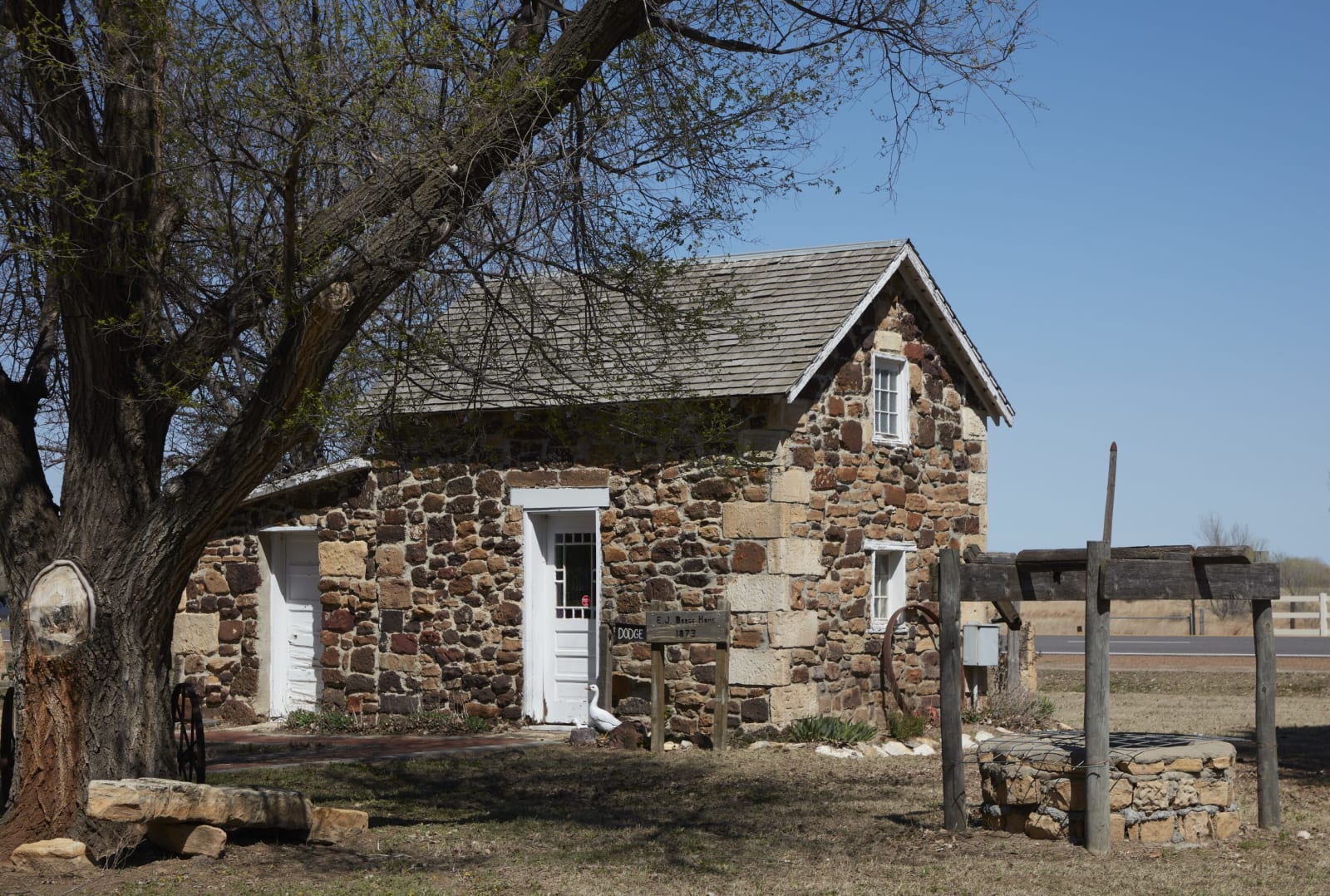
A small rough-stone house with white doors under a bare tree at the Barton County Historical Society village south of Great Bend.Carol M. Highsmith / public domain via the Library of Congress
🏛️Historical

Barton County Historical Society Museum and Village

Part ofCheyenne Bottoms & the Great Bend

A village of buildings brought in from around Barton County to a lot on US-281 just south of Great Bend, from an 1898 limestone church to a steel Lustron house of 1950.

⏱
Duration
One to two hours.
📅
Best Season
Year-round: April to October, Tuesday to Friday 10 to 5 and weekends 1 to 5; in winter, Tuesday to Friday 10 to 5.

The Story

The Barton County Historical Society began its village in 1964 on land from the Charles Hulme estate, on US-281 just south of the Arkansas River from Great Bend, and has spent the decades since bringing the county's buildings to it. The first, in 1967, was St. Paul Lutheran Church from near Albert, built in October 1898 of limestone quarried in Rush County and hauled two and a half miles to the site, put back on its foundations by men and horses after a 1909 cyclone. The District 50 schoolhouse came in 1968, and so did the 1910 Santa Fe depot from Belpre, with its dock, its brick walk and the operator's room as the last agent knew it.

The Castleton post office of about 1871 arrived in 1971 from a town that had faded so far by the late 1940s that a film crew used it as an 1895 Illinois town. In 1976 and 1977 a Boy Scout lodge moved the E. J. Dodge family's 1873 rock house stone by stone from Walnut Creek. A blacksmith shop, barns for implements and tractors, and a working Waupun windmill on a well that still gives good water fill out the grounds.

The newest house is the oddest: a Lustron, one of the prefabricated homes of the postwar years, built in 1950, taken apart and put back together here in 2005 and 2006, and furnished as it would have been in its decade. The museum building holds the county's collections and a Santa Fe Trail interpretive exhibit.

Visitor Info

⏱
Time Needed
One to two hours.
📅
Best Season
Year-round: April to October, Tuesday to Friday 10 to 5 and weekends 1 to 5; in winter, Tuesday to Friday 10 to 5.
🛣️
Highway
US-281

On the Map

Nearby

The closest stops worth working into your route

natural9.5 mi away
Cheyenne Bottoms and the Kansas Wetlands Education Center
A 41,000-acre natural sink northeast of Great Bend, diked into shallow pools where a large share of the continent's migrating shorebirds stop to feed on the mudflats each spring and fall.
historical10 mi away
Ellinwood Underground
The basement storefronts under the sidewalks of an 1880s German railroad town on US-56, where a harness maker padlocked his shop in 1920 and left everything behind.
cultural23 mi away
Santa Fe Trail Center
Pawnee County's museum and archive two miles west of Larned, ten buildings on ten acres that carry the story from the trail years into the town that grew up beside Fort Larned.
natural25 mi away
Quivira National Wildlife Refuge
A rare inland salt marsh on Rattlesnake Creek, fed by salty groundwater, where whooping cranes stop on migration and the refuge's senior water right keeps coming up short.
historical27 mi away
Fort Larned National Historic Site
Nine sandstone buildings of 1866-68 on the Pawnee Fork, a post that guarded the Santa Fe Trail and served as the agency where the Plains nations came for the annuities promised at Medicine Lodge.
cultural30 mi away
Coronado Quivira Museum
Lyons's museum of Quivira, the country of grass-lodge towns where the Wichita people's ancestors lived when Coronado arrived in 1541, and of the Rice County newspapermen who connected the two.

Historical markers nearby

Roadside plaques and monuments within a short detour

Marker2.9 mi away
Fort Zarah
Marker13 mi away
Pawnee Rock
Marker23 mi away
Birthplace of Farm Credit
Marker26 mi away
The Land of Quivira