Home / New Mexico / Albuquerque & the Middle Rio Grande / Petroglyph National Monument
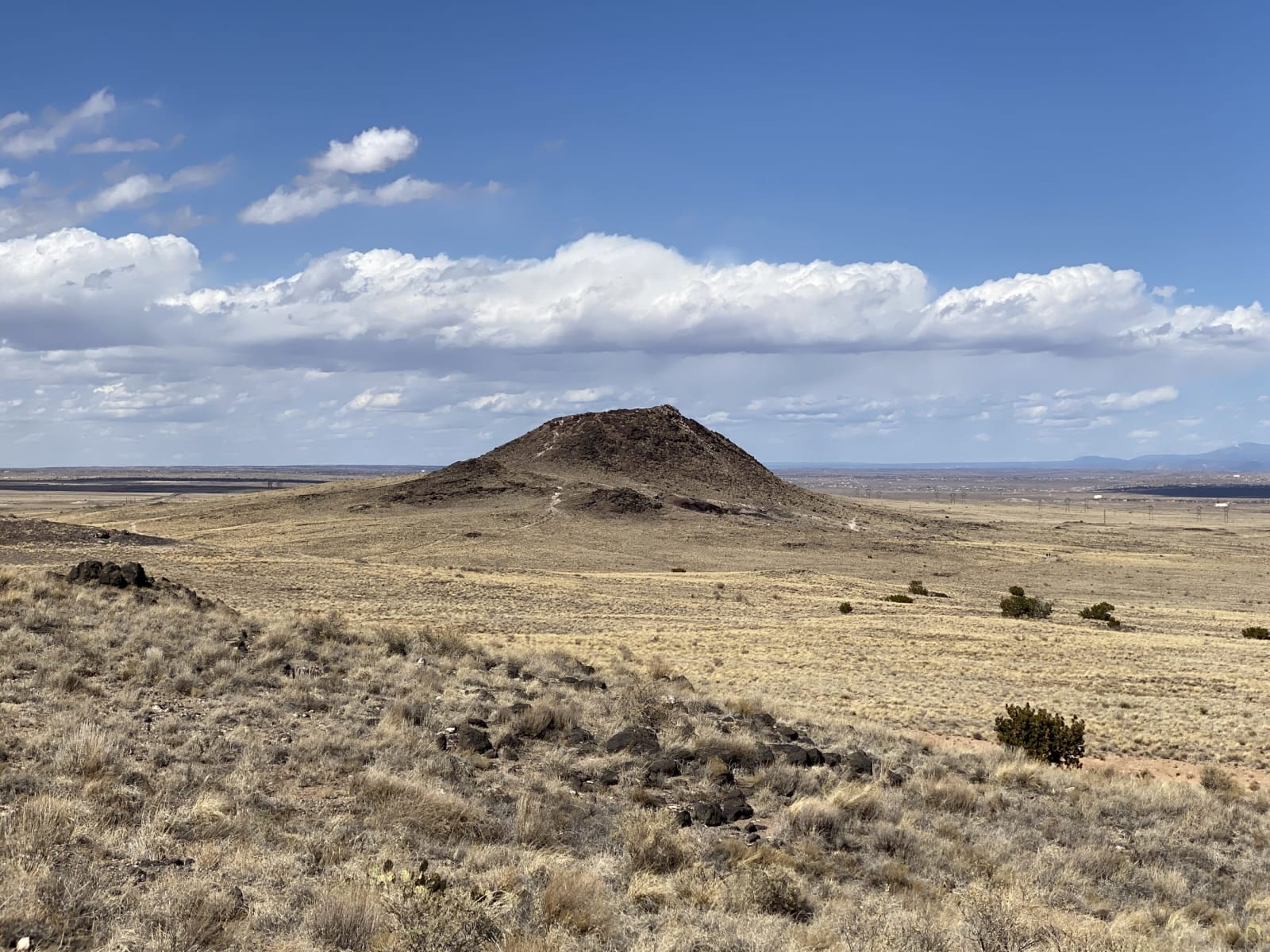
The dark cone of Vulcan Volcano rising from dry grassland on Albuquerque's West Mesa, seen from the volcanoes trailLovemedead / CC BY-SA 4.0 via Wikimedia Commons
🎭Cultural

Petroglyph National Monument

Part ofAlbuquerque & the Middle Rio Grande
On these drivesRoute 66: Albuquerque to HolbrookRoute 66: Glenrio to Albuquerque

Some 24,000 images pecked into the dark basalt of Albuquerque's West Mesa, protected in 1990 and then crossed by a city boulevard.

Family-FriendlyNative American HeritageSpringVolcanicFreeHiking
⏱
Duration
One to three hours.
🎟
Admission
Free; a small parking fee at Boca Negra Canyon.
📅
Best Season
Spring and fall; mornings in summer.

The Story

The West Mesa runs along Albuquerque's western edge as a dark escarpment of broken basalt, the front of lava that flowed from a line of small volcanoes whose five cones still stand on the skyline behind it. Where the rock had weathered dark, people pecked through the surface to the paler stone beneath. The monument holds an estimated 24,000 images. Most were made by ancestral Pueblo people between about 1300 and 1650; some may be two or three thousand years older, and others, crosses and brands among them, were cut by Spanish settlers. The Pueblos regard the whole escarpment as sacred.

Its protection came from the city around it. In the mid-1980s a citizens' survey recorded more than 15,000 petroglyphs along the mesa's edge, and Congress created the monument on June 27, 1990, to be run jointly by the National Park Service and the city's Open Space Division. More than half the land is still city or state property.

The city kept growing west. In 1997 Congress took 8.5 acres out of the monument so that Paseo del Norte could be carried up the escarpment, over the objections of Pueblo governments and conservationists. The fight went on for a decade through the legislature, the courts and a 2003 bond vote the road's backers lost, and the extension opened in 2007.

The visitor center is on Unser Boulevard. Boca Negra Canyon, two miles north, has short, partly paved trails past dense panels; Rinconada Canyon, a mile south, is a walk of about two miles along the base of the escarpment; Piedras Marcadas lies farther north among houses. The volcanoes have their own trails on top of the mesa.

Visitor Info

⏱
Time Needed
One to three hours.
🎟
Admission
Free; a small parking fee at Boca Negra Canyon.
📅
Best Season
Spring and fall; mornings in summer.
🛣️
Highway
I-40

On the Map

Nearby

The closest stops worth working into your route

historical44 mi away
Jemez Historic Site
The stone walls of a 1620s mission church standing among the ruins of Gisewa, a Jemez village named for the hot springs beside it.
historical45 mi away
Salinas Pueblo Missions National Monument
Three Spanish mission churches raised over Tiwa and Tompiro pueblos east of the Manzano Mountains in the 1600s, each of its own stone, and one never finished.
cultural50 mi away
Acoma Sky City
Haak'u, the village on a sandstone mesa west of Albuquerque, seen only on the pueblo's own tours, with a mission whose roof beams were carried on foot from Mount Taylor.
historical52 mi away
Bandelier National Monument
Rooms carved into soft volcanic tuff in Frijoles Canyon, named for a Swiss scholar who was led there in 1880 by a man from Cochiti Pueblo.
geological52 mi away
Valles Caldera National Preserve
A crater thirteen miles across, floored with grass, left by an eruption 1.25 million years ago and owned privately for 140 years under a law that called it vacant land.
architectural57 mi away
Fuller Lodge
The upright-log dining hall of a boys' ranch school, which fed and housed the Manhattan Project after the Army bought the school in 1942.