Home / Kentucky / Lexington, Frankfort & the Bluegrass / Perryville Battlefield State Historic Site
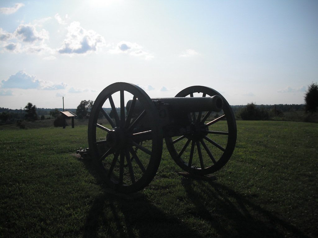
A Civil War cannon silhouetted on open grassland at Perryville Battlefield, with rolling fields and trees beyond.Matt Turner / CC BY 2.0 via Flickr
🏛️Historical

Perryville Battlefield State Historic Site

Part ofLexington, Frankfort & the Bluegrass

The field of Kentucky's largest Civil War battle, October 8, 1862, one of the least altered in the country, and the site of the postwar Black community of Sleettown.

⏱
Duration
Two to four hours.
🎟
Admission
The grounds are open to walk; see Kentucky State Parks for museum admission (2026).
📅
Best Season
Spring and fall. The grounds are open daily, 9 a.m. to 5 p.m. May to October and 8 a.m. to 4 p.m. November to April; the museum opens fewer days in winter (Kentucky State Parks, 2026).

The Story

On October 8, 1862, Gen. Braxton Bragg's Confederate Army of Mississippi and Maj. Gen. Don Carlos Buell's Union Army of the Ohio fought along the creeks west of Perryville in the most destructive battle in Kentucky, which left more than 7,600 killed, wounded or missing. Bragg held the field that night but withdrew from the state, and Kentucky stayed in Union hands for the rest of the war.

The farms took the damage. Much of the fighting crossed the land of Henry P. "Squire" Bottom, a Unionist and an enslaver, whose hay barn burned under artillery fire. Homes became field hospitals, and residents were made to help bury the dead in shallow trenches. The Union dead were gathered into a national cemetery here in 1865 and moved to Camp Nelson in 1867, so no identified Union soldier lies on the field. After the war a Black community called Sleettown grew on what is now park land, with homes, a store, a restaurant and a cemetery. It lasted from 1865 until about 1931.

About 1,200 acres are preserved, and the views are close to what the soldiers saw. The museum and a short film explain the battle, a self-guided walking tour follows its course, and mowed trails cross restored native grassland where bobolinks and Henslow's sparrows nest. The Sleettown Trail passes the last witness tree to the battle. With help from a Centre College class, the park has built a searchable database of more than 5,800 soldiers killed, wounded or missing here.

Visitor Info

⏱
Time Needed
Two to four hours.
🎟
Admission
The grounds are open to walk; see Kentucky State Parks for museum admission (2026).
📅
Best Season
Spring and fall. The grounds are open daily, 9 a.m. to 5 p.m. May to October and 8 a.m. to 4 p.m. November to April; the museum opens fewer days in winter (Kentucky State Parks, 2026).
🛣️
Highway
Battlefield Road / US 68

On the Map

Nearby

The closest stops worth working into your route

historical16 mi away
Shaker Village of Pleasant Hill
The hilltop Shaker community of 1806-1910 in Mercer County, with 34 original buildings, a working farm and preserve trails to the Kentucky River.
industrial20 mi away
Maker's Mark Distillery
The Hardin Creek distillery farm at Loretto, on a mill site of 1805, where the Samuels family began Maker's Mark in 1954 and the first working distillery to become a National Historic Landmark.
historical22 mi away
Camp Nelson National Monument
The 1863 Union depot above the Kentucky River where more than 10,000 enslaved men enlisted in the U.S. Colored Troops and their families fought for a place to live.
historical28 mi away
My Old Kentucky Home State Park (Federal Hill)
Federal Hill, the Rowan family's 1818 mansion at Bardstown, told with the at least 54 people the Rowans enslaved and the history of Stephen Foster's song.
historical28 mi away
William Whitley House State Historic Site
Sportsman's Hill near Crab Orchard, the brick fortress-house William and Esther Whitley built on the Wilderness Road between 1787 and 1794, told from both sides of the frontier war.
architectural29 mi away
Basilica of St. Joseph Proto-Cathedral
Bardstown's cathedral of 1816-1819, the first Catholic cathedral west of the Alleghenies, and the enslaved family whose son founded a national Black Catholic press.

Historical markers nearby

Roadside plaques and monuments within a short detour

Marker0.7 mi away
Kirkland Home
Perryville
Marker2.1 mi away
Merchants' Row
Perryville
Marker2.1 mi away
Site of First Rural Electric Co-Op Substation in County
Perryville
Marker2.2 mi away
Crawfored Springs
Perryville
Marker2.2 mi away
Karrick-Parks House
Perryville
Marker5.3 mi away
Pioneer Methodist Preacher
Danville