The Story
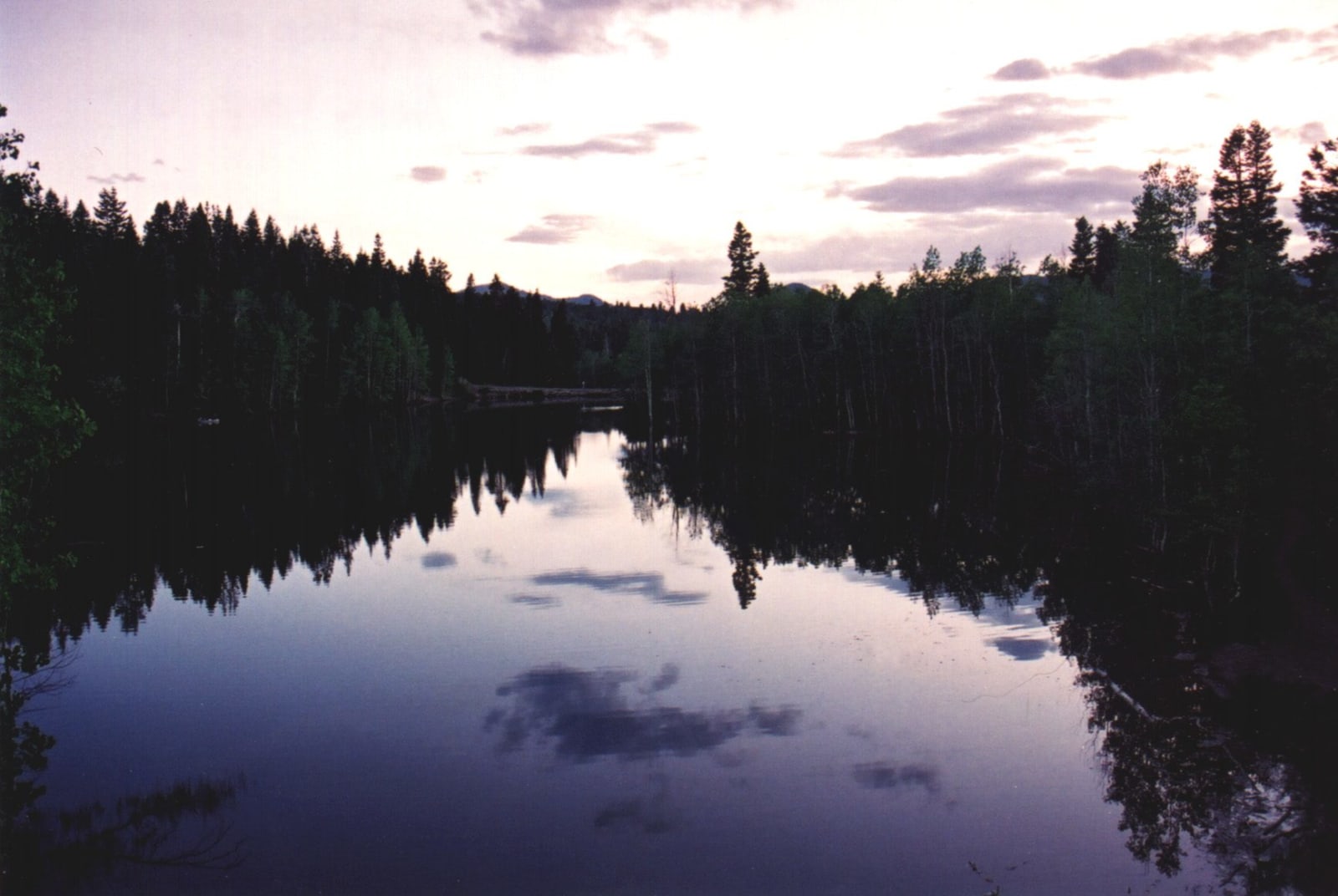
Payson Lakes is the green heart of the Nebo Loop, a basin of fir and aspen about twelve miles up Payson Canyon where three lakes — Big East, McClellan, and Box — sit at around eight thousand feet, cold and clear and ringed by easy paved paths. By midsummer the water is calm enough that people actually swim, and the air sits a good twenty degrees below the valley floor.
For all that it reads as wilderness, almost none of it is wild in origin. Big East, the largest of the three, is not a natural lake but a reservoir — dammed in 1898 to store irrigation water for the farms down in the valley, and still carried on the state's rolls as a working dam more than a century later. The recreation came afterward. The same Civilian Conservation Corps effort that cut the byway in the 1930s built the campground, the picnic areas, and the trim guard station just south of the lakes in 1935, which still stands and which the Forest Service now rents out as a cabin.
The day-use area sits on the shore of Big East: a small swim beach, picnic tables under the pines, and a paved nature path, a little under a mile, that circles the water. Anglers come for rainbow and brown trout; canoes and kayaks have the lake to themselves, since powerboats are banned, which is much of why it stays so still. The Mount Nebo Wilderness begins right at the edge of the basin, so the trailheads for the high country are a short walk from the parking lot. A day-use fee applies, though you can park along the road and walk in.
One honest caveat, and it follows from the dam: Big East is drawn down through the summer the way any irrigation reservoir is, so the fullest, clearest water is early — by late September the level has dropped, the margins turn muddy, and the surface can go green with algae. Come in July for the swimming; come in late September for the gold.
Visitor Info
On the Map
A story featuring this place
Go deeper into the history and character of this stop
Nearby
The closest stops worth working into your route
Historical markers nearby
Roadside plaques and monuments within a short detour