 Mattsjc / CC BY 4.0 via Wikimedia Commons
The Story
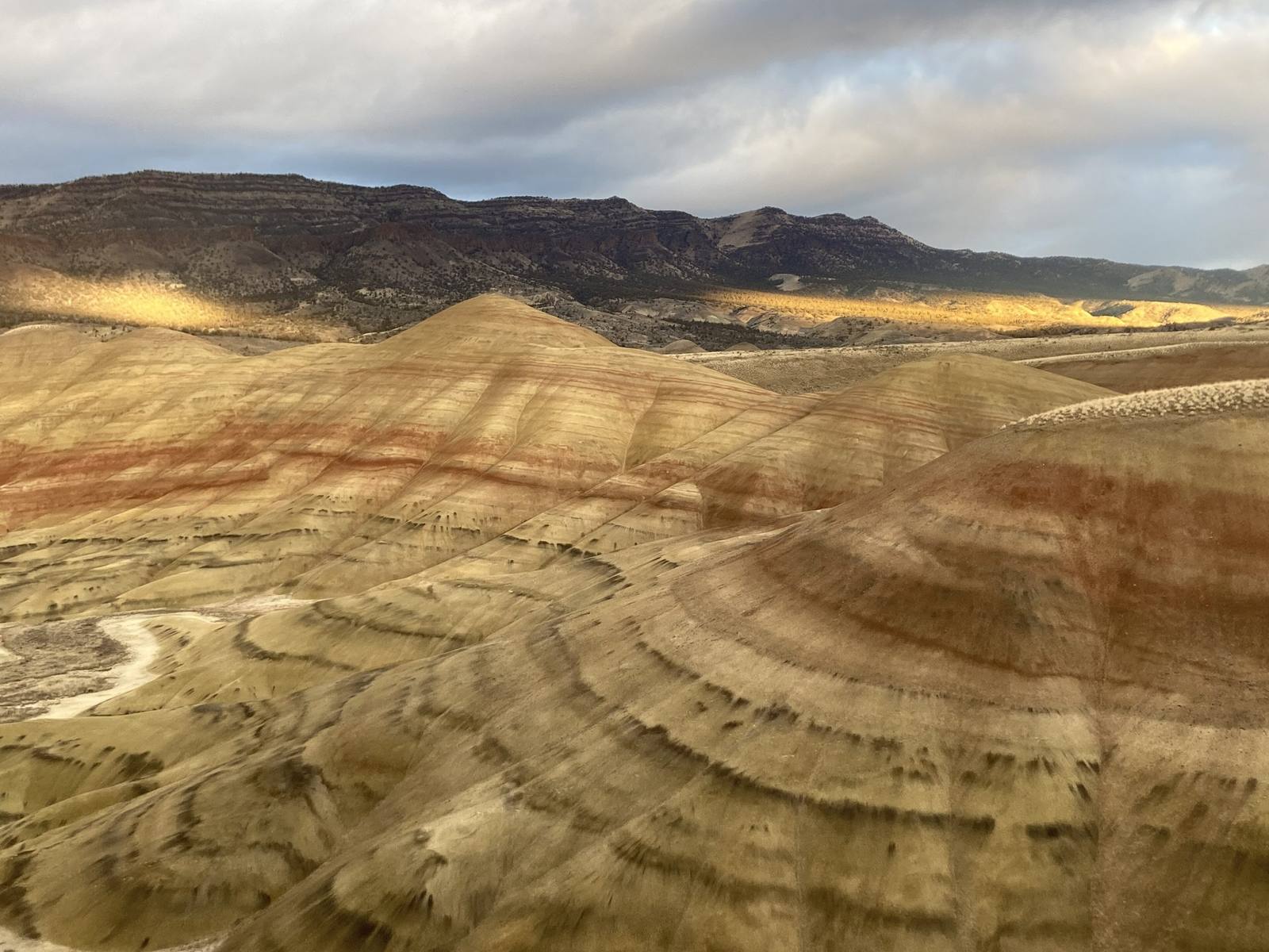
The colors are soil. Between roughly thirty-nine and thirty million years ago, eruptions to the west blanketed this country in ash, and between ashfalls the ash weathered into soil under whatever climate held at the time. Then it was buried, compacted and, much later, uncovered again by erosion. Geologists call them paleosols. The red and orange bands are iron-rich soils that formed when this part of Oregon was warm and humid, a floodplain of ponds and lakes with something like thirty to fifty inches of rain a year; the buff layers are close to the original color of the ash; and the lavender rock at the base is an older rhyolite lava flow. Read from the bottom up, one hill is a record of a climate cooling and drying.
The same ash buried the plants growing in it. Leaf beds here have yielded thousands of fossil leaves from a forest of about thirty-three million years ago, among the first evidence of what that ancient landscape looked like.
The clay surface is fragile and slow to heal, and steps off the trail leave marks that erode the hills, so stay on the paths. The overlook trail gives the classic wide view; the Painted Cove Trail, a quarter mile with a third of it on boardwalk, runs right through the red mounds. The colors are deepest in late afternoon and after rain. The Painted Hills are one of three widely separated units of John Day Fossil Beds National Monument.
Visitor Info
On the Map
Nearby
The closest stops worth working into your route
Historical markers nearby
Roadside plaques and monuments within a short detour