 U.S. Forest Service, Pacific Northwest Region / public domain via Wikimedia Commons
The Story
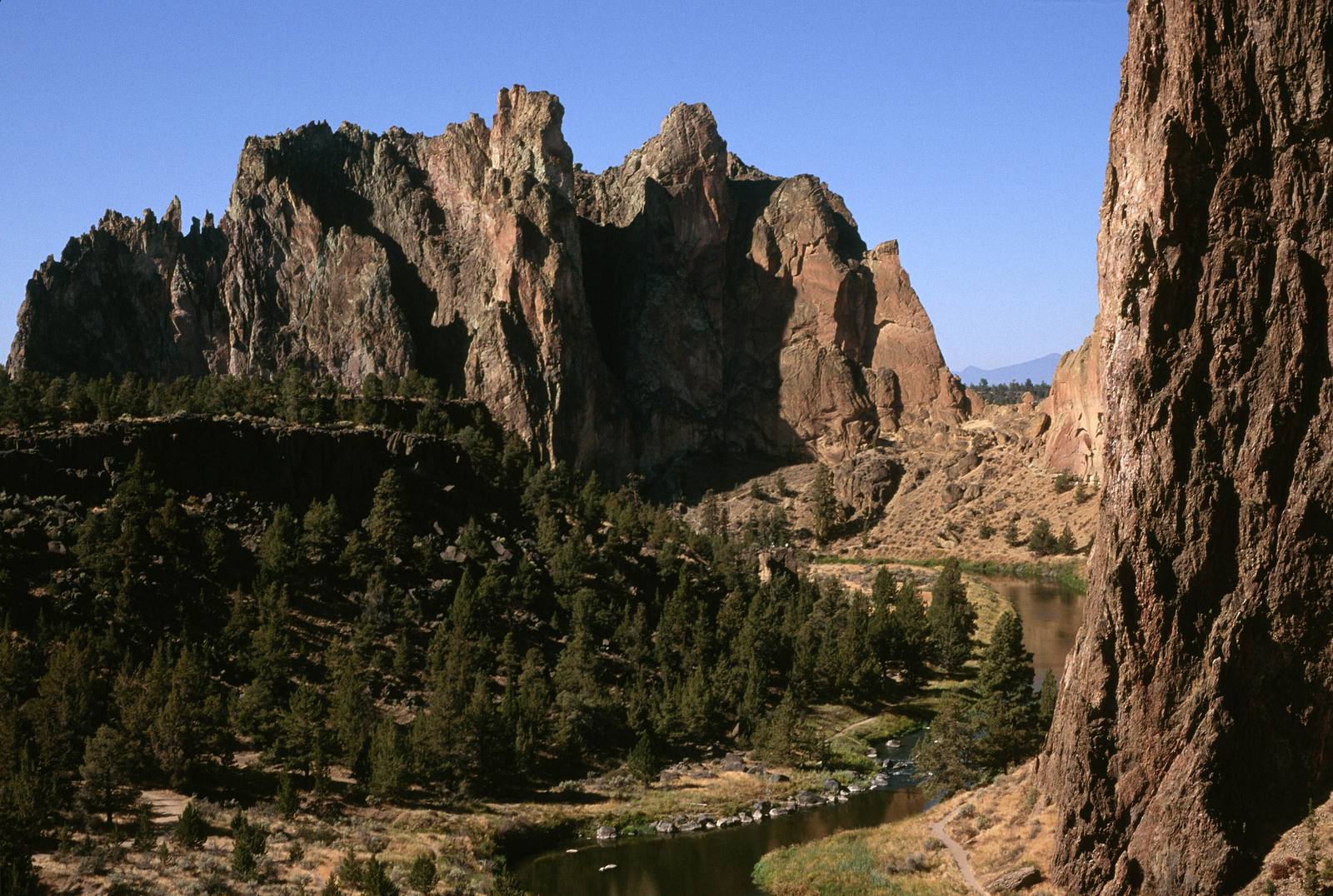
About thirty million years ago, 29.5 million by one estimate, a volcano in what is now central Oregon erupted so violently that the ground over its magma chamber collapsed, leaving a caldera some twenty miles across; Prineville sits inside it today. The eruption filled the hole with ash and pumice that settled and fused into rock, and the welded tuff on the caldera's western rim is Smith Rock. Rhyolite later pushed up into cracks in it. About half a million years ago basalt from vents miles away flowed in and capped much of the tuff, and the Crooked River has since cut down through both, looping around the ridge and exposing its orange and purple walls.
The tuff erodes unevenly, into pockets, edges and freestanding pillars, the texture that made it famous among climbers. The most striking pillar is Monkey Face, a spire of some 350 feet at the west end of the ridge; its easiest route was first climbed in 1960, its hardest, Just Do It, in 1992. Golden eagles and prairie falcons nest in the walls, and one formation, the Monument, is closed to climbing from mid-January through July while eagles raise their young. River otters and beavers work the river below.
From the rim beside the parking area a trail drops to a footbridge across the Crooked River. The Misery Ridge Trail climbs the face to the crest and drops past Monkey Face, a loop of about four miles and a thousand feet of climbing with the River Trail; the River Trail itself is nearly level. Summer afternoons are hot and shadeless, and the lots fill early on weekends.
Visitor Info
On the Map
Nearby
The closest stops worth working into your route