Home / Washington / Mount Rainier & the South Cascades / Temani Pesh-wa and She Who Watches
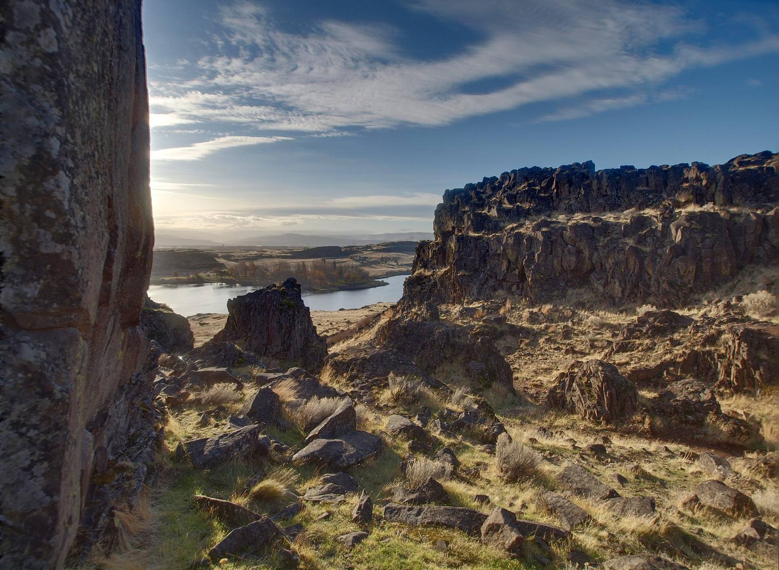
Basalt ledges of Horsethief Butte in Columbia Hills State Park, with Horsethief Lake and the Columbia beyondDaniel Parks / CC BY 2.0 via Wikimedia Commons
🎭Cultural

Temani Pesh-wa and She Who Watches

Part ofMount Rainier & the South Cascades
On this driveSR-14: The Washington Side of the Gorge

Rock images cut from a canyon wall weeks before The Dalles Dam drowned it, kept in storage for half a century, and brought back to the river by the treaty tribes.

Native American HeritageSummerSpringPaid Entry
⏱
Duration
Half an hour for the trail; two hours with the guided tour.
📅
Best Season
April through October.

The Story

This shore was one of the great gathering places of the Columbia, and the basalt along it was covered with images pecked and painted into the rock. In a side canyon just downstream, Petroglyph Canyon, they ran by the hundreds. When The Dalles Dam was built, the reservoir was going to put all of it under water. In 1956 the National Park Service picked out forty-three panels from the canyon walls to save, and crews cut them out with jackhammers in the weeks before the gates closed. Most of the rest, an estimated eight or nine hundred images along this reach, went under.

The rescued panels then sat in storage at the dam for forty-six years, out of sight. In 2003 and 2004 the treaty tribes, the Army Corps of Engineers and Washington State Parks brought them back to the river, a short way upstream from where they were made, and set them along a paved path that opened in 2004. The trail is called Temani Pesh-wa, written on the rock.

Above the park, on the rimrock that stayed dry, is the best known image on the river: Tsagaglalal, She Who Watches, a face with great ringed eyes, carved and painted, which the Wishram tell of as a chief turned to stone to keep watch over her people. Vandals shot at her and scrawled on the rocks around her, and since then the only way to see her is on a guided walk with a park ranger, booked well ahead.

Visitor Info

⏱
Time Needed
Half an hour for the trail; two hours with the guided tour.
📅
Best Season
April through October.
🛣️
Highway
SR-14

On the Map

Nearby

The closest stops worth working into your route

cultural7.1 mi away
Celilo Village
The village that stayed on the bluff above the drowned falls, rebuilt half a century late by the government that flooded them, where the salmon season still opens each April.
geological9.4 mi away
Rowena Crest and the Tom McCall Preserve
A crest where the Ice Age floods jammed against a basalt promontory, above a plateau of mounds no one has fully explained, and a few in the parking loop that the highway department built.
architectural36 mi away
Timberline Lodge
A lodge raised by hand by relief workers in 1936-38, from boulders off the mountain and iron forged from old railroad rails, and dark for an unpaid power bill less than twenty years later.
industrial40 mi away
Bonneville Dam
The first federal dam on the Columbia, where someone has counted the fish climbing its ladders every year since 1938, beside an island the Corps used as a dump for forty years.
natural49 mi away
Multnomah Falls
A 620-foot double waterfall whose 1925 stone lodge survived because firefighters kept it soaked while the forest burned around it in September 2017.
historical50 mi away
Fort Simcoe
Mool-Mool, the bubbling springs on a Yakama trail, where the Army built a fort in 1856 and the government ran a boarding school for Yakama children for sixty years.

Historical markers nearby

Roadside plaques and monuments within a short detour

Marker0.7 mi away
A Culture Lives On
Marker7.3 mi away
Ancient Indian Fishing Grounds
Oregon
Marker7.6 mi away
Celilo Falls
Marker9.7 mi away
Deschutes River Crossing
Oregon
Marker13 mi away
Klickitat River Bridge
Marker15 mi away
Sam Hill Country