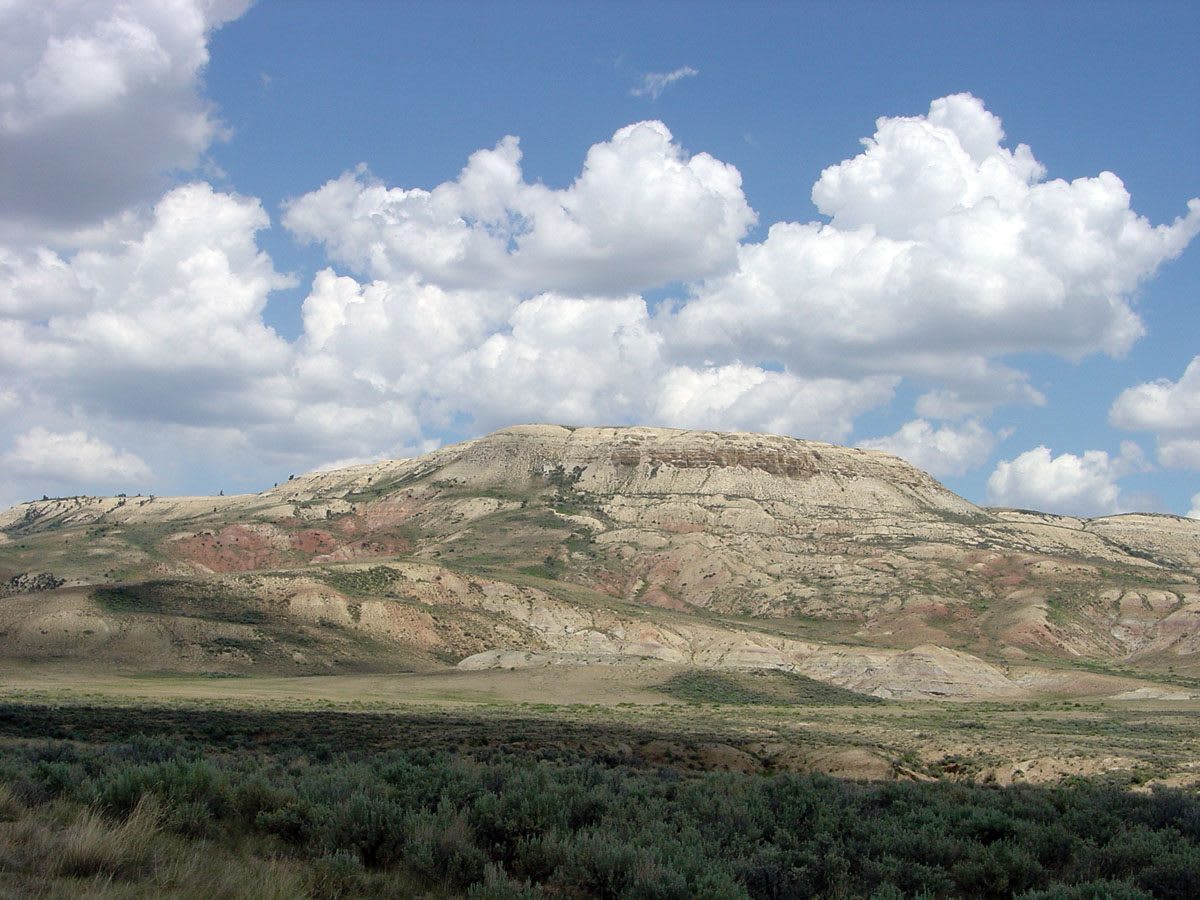
 Phil Stoffer, U.S. Geological Survey / public domain via Wikimedia Commons
The Story
Fossil Butte is really a ridge, and its pale top layers were the floor of a freshwater lake about 52 million years ago. Fossil Lake was the smallest of three great lakes that filled this corner of the West in the Eocene, and for a couple of million years its fine limy mud settled in thin layers that buried whatever sank into it and pressed it flat without breaking it. The fish come out whole, every rib and fin showing, in places several hundred to a square meter. Knightia, a small herring-like fish, is the most common vertebrate fossil in the world and Wyoming's state fossil. The same beds have given up the oldest complete bat fossils known, the only complete freshwater stingrays, crocodiles, turtles, birds, palm fronds, and damselflies with the color patterns still on their wings. Some layers hold whole schools of fish that died at once, and no one has settled what killed them.
Scientists began studying the formation after the Union Pacific cut through it near Green River in the late 1860s, and from 1897 a collector named Robert Craig and others quarried it commercially for four decades, selling specimens to museums and collectors around the world. Congress made 8,198 acres a national monument in 1972 to keep some of the beds public. Collecting is forbidden inside the monument, but private quarries near Kemmerer let visitors split rock for a fee. The Historic Quarry Trail climbs from the visitor center to the old quarry face.
Visitor Info
On the Map
Nearby
The closest stops worth working into your route
Historical markers nearby
Roadside plaques and monuments within a short detour