Green River Country & the Red Desert
Bridger and Vasquez's trading post and the fort the Mormons burned, the Rock Springs massacre of 1885, and the pronghorn's six-thousand-year road to the Tetons.
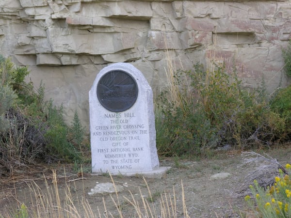
Jim Bridger and Louis Vasquez built their trading post on Black's Fork of the Green in 1843 to supply the emigrant trains. In 1855 the Latter-day Saints took it over, buying it, they said, over Bridger's denials, and walled it in stone. In the fall of 1857, as the Army marched on Utah, Mormon militia burned it rather than let the troops have it, and the Army garrisoned the site from 1858 to 1890. There in 1868 Washakie of the Eastern Shoshone and Taghee of the Bannock negotiated the treaty that set aside both the Wind River and the Fort Hall reservations.
The Union Pacific opened coal mines at Rock Springs to fuel its locomotives and brought in Chinese miners, many of them first as strikebreakers; by 1885 about six hundred Chinese worked there beside some three hundred whites. On September 2, 1885, after a fight in one of the mines, a mob of white miners with guns, hatchets and knives attacked Chinatown. They killed twenty-eight Chinese miners, wounded fifteen, burned their homes and drove several hundred out of town. A week later federal troops escorted the survivors back to the mines. A grand jury refused to indict anyone, and no one was ever convicted.
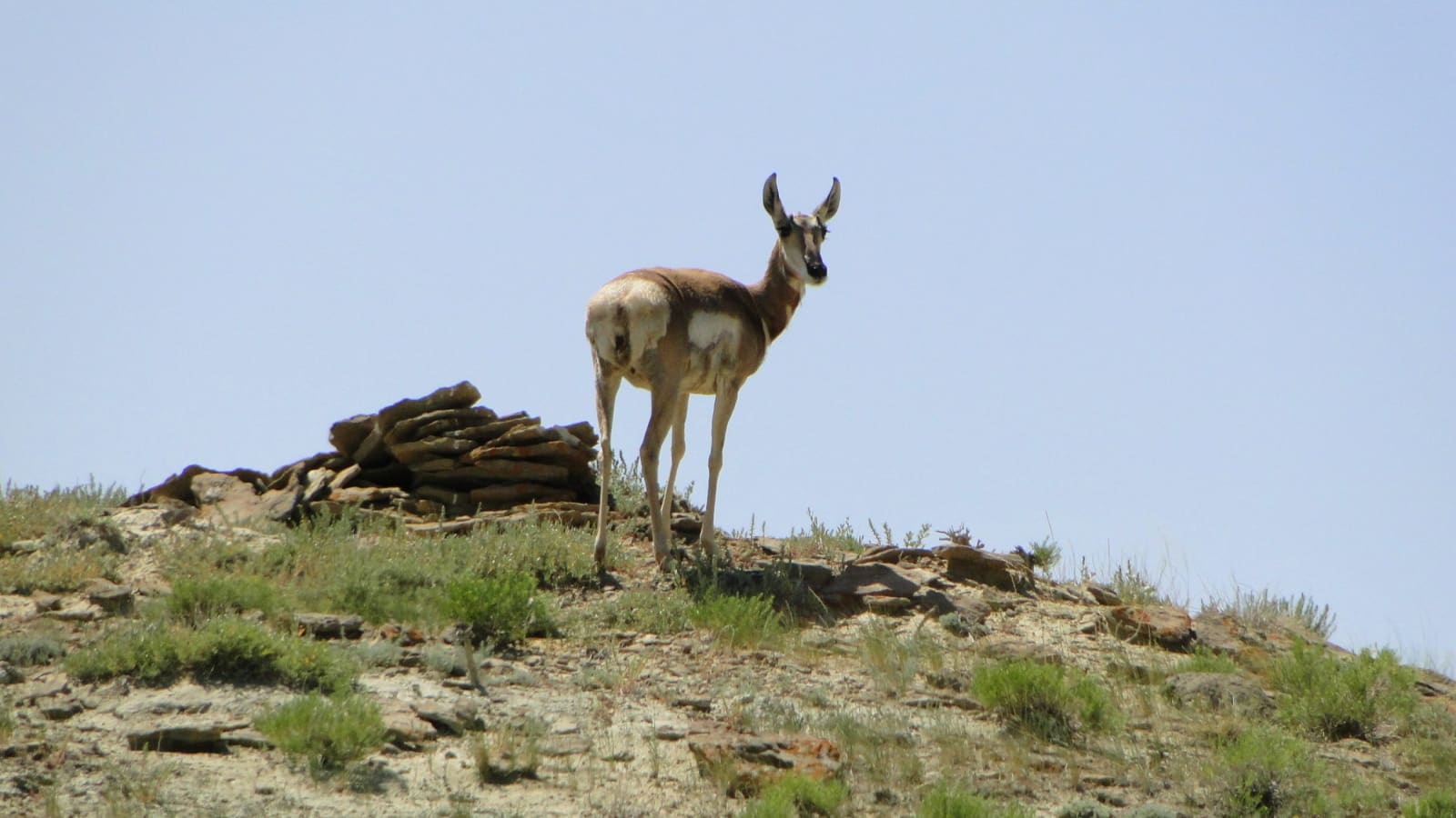
For at least six thousand years pronghorn have walked between winter range in the Upper Green River basin and summer range in Grand Teton, a round trip of about 150 miles, one of the longest land migrations left in the lower forty-eight. In 2008 the Bridger-Teton National Forest protected its northern stretch as the Path of the Pronghorn, the first federally designated wildlife migration corridor in the country, and in 2012 overpasses were finished over US-191 at Trappers Point, where the herds funnel across the highway.
What to See in Green River Country & the Red Desert
5 places across the region, grouped by what they are.
Geology & Rock Formations
Historic Sites
Towns & Gateways
Scenic Drives through Green River Country & the Red Desert
Stories from Green River Country & the Red Desert
Green River Country & the Red Desert rewards the unhurried. Pick a base, fan out, and let the country between the headline stops surprise you.
← Explore more of Open Road Guide