Home / Alabama / Mobile Bay & the Gulf Coast / Bon Secour National Wildlife Refuge
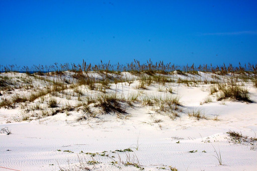
White sand dunes topped with sea oats under a deep blue sky at Bon Secour National Wildlife Refuge.U.S. Fish and Wildlife Service Southeast Region / CC BY 2.0 via Flickr
🌲Natural

Bon Secour National Wildlife Refuge

Part ofMobile Bay & the Gulf Coast
On this driveAround Mobile Bay: Africatown, Fairhope, Fort Morgan and the Ferry to Dauphin Island

Seven thousand acres of dune, swale and maritime forest on the Fort Morgan Peninsula, the last undisturbed home of the Alabama beach mouse and a stopover for migrating birds.

⏱
Duration
One to three hours.
🎟
Admission
Free (USFWS, 2026).
📅
Best Season
Spring and fall migration for birds; trails open daily sunrise to sunset.

The Story

Between the condominiums of Gulf Shores and the end of the Fort Morgan Peninsula lies one of the largest undeveloped stretches of the Alabama coast. Congress set aside Bon Secour, French for safe harbor, in 1980, chiefly for the songbirds that cross the Gulf each spring and fall. After the crossing, the coast here is a resting and feeding stop, and some 400 species of birds have been recorded on the refuge, from ospreys and herons to seven kinds of hummingbirds.

The refuge is also the last undisturbed habitat in Alabama for the Alabama beach mouse, a small pale mouse of the dunes and sea oats whose range shrank as the coast was built over. Loggerhead, green and Kemp's ridley sea turtles nest on its beaches. Bobcats, alligators, red foxes and armadillos turn up in the swales and pine scrub behind the dunes.

The refuge comes in five units, most of them on the peninsula along Highway 180. Its trails, about five miles in all, run through dunes, swales, wetlands and maritime forest, and the Jeff Friend Trail has a canoe and kayak launch onto Little Lagoon. Hurricane Ivan's 20-foot surge swept the refuge in 2004 and took out the Gator Lake boardwalk on the Pine Beach Trail; it was replaced, and boardwalk sections still close at times for repair. Trails are for walking only, with no bicycles, and a small visitor contact station keeps weekday morning hours.

Visitor Info

⏱
Time Needed
One to three hours.
🎟
Admission
Free (USFWS, 2026).
📅
Best Season
Spring and fall migration for birds; trails open daily sunrise to sunset.
🛣️
Highway
AL-180

On the Map

Nearby

The closest stops worth working into your route

natural10 mi away
Gulf State Park
Alabama's southernmost state park, opened in 1939 with cabins built by the Civilian Conservation Corps, with two miles of beach, Lake Shelby and a long backcountry trail system.
historical13 mi away
Fort Morgan State Historic Site
The five-bastioned brick fort on Mobile Point, built with enslaved labor, that fired on Farragut's fleet in August 1864 and held out for eighteen days of siege.
historical16 mi away
Fort Gaines
The pentagonal brick fort on the east end of Dauphin Island that surrendered three days after the Battle of Mobile Bay and now fights the Gulf's erosion.
natural30 mi away
AWF Delta & Bay Conservation Center at 5 Rivers
The Causeway center at the head of Mobile Bay that opens onto the Mobile-Tensaw Delta, with a kayak launch, short trails and decks over the marsh.
historical32 mi away
USS Alabama Battleship Memorial Park
The World War II battleship towed home to Mobile Bay in 1964 on money raised partly by schoolchildren, with the submarine Drum and an aircraft pavilion beside it.
historical34 mi away
Historic Blakeley State Park
The vanished river town of Blakeley and the earthworks where some 5,000 U.S. Colored Troops fought in the assault of April 9, 1865, in 2,000 acres on the delta.

Historical markers nearby

Roadside plaques and monuments within a short detour

Marker13 mi away
Noble Leslie DeVotie
Fort Morgan
Marker17 mi away
Confederate Rest Cemetery
Fairhope