 National Park Service / public domain via Wikimedia Commons
The Story
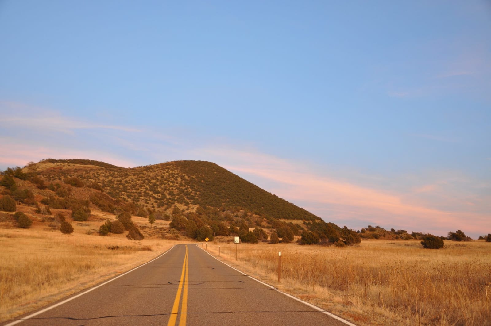
Capulin rises alone out of the grassland of northeastern New Mexico, a nearly symmetrical cone of loose cinders reaching 8,182 feet. It is one of about a hundred volcanoes in the Raton-Clayton volcanic field, which has erupted off and on for some nine million years, and its name is Spanish for the chokecherry that grows on its slopes.
A two-mile paved road spirals around the cone from the visitor center to a parking area on the rim, about 600 feet higher. From there the Crater Rim Trail makes a steep, paved loop of a mile, and a short trail drops about a hundred feet to the plugged vent in the bottom of the crater. The rim is lopsided: the wind during the eruption piled cinders on the east side, which stands as much as 300 feet above the west. On clear days the view takes in parts of Colorado, Kansas, Oklahoma and Texas, with the Sangre de Cristo Mountains to the west.
The crater never poured out lava. Four flows broke through a weak spot at the cone's base, the boca, and spread across the plains. The Boca Trail, a rough two-mile loop, wanders through that ground, and the Lava Flow Trail crosses one of the flows. In summer, swarms of ladybugs gather near the summit.
Capulin was made a national monument in 1916. The rim road is open only when the park is staffed and closes in snow and high wind, and there is no camping.
Visitor Info
On the Map
Nearby
The closest stops worth working into your route