Home / Colorado / The Arkansas Valley & the Santa Fe Trail / Fishers Peak State Park
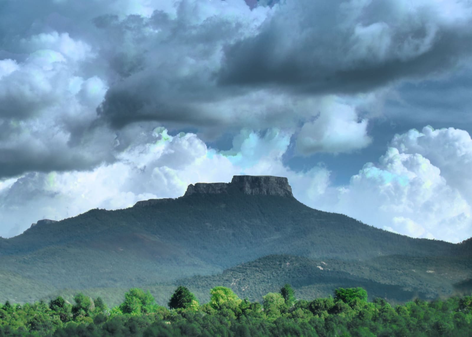
Fishers Peak rising above a band of green trees, its flat, cliff-edged summit block sitting on long forested slopes that run down to either side, under a heavy sky of grey and white cumulus clouds.Michelle Goodall / CC BY-SA 2.0 via Wikimedia Commons
🌲Natural

Fishers Peak State Park

Part ofThe Arkansas Valley & the Santa Fe Trail
On this driveThe Santa Fe Trail: Bent's Old Fort over Raton Pass

The flat-topped landmark over Trinidad and Raton Pass, a trophy-hunting ranch until 2019 and Colorado's second-largest state park since 2020, with a summit trail since 2023.

Off the Beaten PathPhotographySummerPaid EntryFallHiking
⏱
Duration
A full day for the summit; an hour for the short loops.
🎟
Admission
State park day-use fee.
📅
Best Season
Late spring through fall; the summit trail's upper section closes mid-March through July for nesting falcons.

The Story

Fishers Peak is the flat-topped mountain over Trinidad, and for anyone driving north out of New Mexico it is the first thing in Colorado that holds the eye. It stands at the western end of Raton Mesa, 9,633 feet high, and for travelers on the Mountain Branch of the Santa Fe Trail it marked the climb over Raton Pass, just to the west.

The name is less certain than the mountain. Early maps called it Ratón Peak. The usual story credits Waldemar Fischer, an artillery officer with Stephen Watts Kearny's Army of the West in 1846, with climbing it, but History Colorado points out that the account rests largely on Uncle Dick Wootton, who had a mountain man's taste for a tall tale, and that Fischer and Fisher traded places on the maps for decades before one spelling stuck.

Coal under the Raton Basin brought mines to the mesas from the 1860s, and by the 1920s the slopes around the peak had been stripped of their timber. The land passed among ranchers and investors, and in its last private decades it was the Crazy French Ranch, a trophy-hunting property with no roads to speak of. The Nature Conservancy and the Trust for Public Land bought it in February 2019 with the City of Trinidad and Great Outdoors Colorado, and on October 30, 2020 it opened as Colorado's forty-second state park, 19,200 acres, second in size only to State Forest State Park.

The summit trail opened in November 2023, about eight miles each way from the trailhead off I-25 on the south edge of town, and the park advises treating it like a fourteener. Its upper section closes from mid-March through July while peregrine falcons nest on the cliffs. Shorter loops wander the grassland and piñon-juniper near the trailhead, where the peak fills the view to the east.

Visitor Info

⏱
Time Needed
A full day for the summit; an hour for the short loops.
🎟
Admission
State park day-use fee.
📅
Best Season
Late spring through fall; the summit trail's upper section closes mid-March through July for nesting falcons.
🛣️
Highway
I-25

On the Map

Nearby

The closest stops worth working into your route

historical16 mi away
Ludlow Tent Colony Site
The coal miners' union bought the ground, raised a granite monument over the pit in 1918, and restored it after someone knocked the heads off its figures in 2003.
geological38 mi away
Capulin Volcano National Monument
A cinder cone you can drive to the top of, rising more than a thousand feet from the high plains east of Raton, whose lava broke out of its foot rather than its crater.
historical47 mi away
St. James Hotel
Henri Lambert's 1872 inn and saloon on the Santa Fe Trail at Cimarron, a stage for the Colfax County War, where the old saloon ceiling still shows 22 bullet holes.
cultural51 mi away
Shrine of the Stations of the Cross
A parish's own Calvary on the mesa above Colorado's oldest town, with bronze stations by a San Luis sculptor whose models went to the Vatican.
natural69 mi away
Great Sand Dunes National Park and Preserve
Saved from gold miners and a cement plant by women's clubs in 1932, and made a national park in 2004 to keep the valley's groundwater from being piped away.
cultural73 mi away
Taos Pueblo
Two terraced adobe houses facing each other across Red Willow Creek, lived in for something like a thousand years, with no electricity or running water inside the old walls.

Historical markers nearby

Roadside plaques and monuments within a short detour

Marker4.1 mi away
The Santa Fe Trail
Trinidad
Marker8.3 mi away
Raton Pass
Trinidad