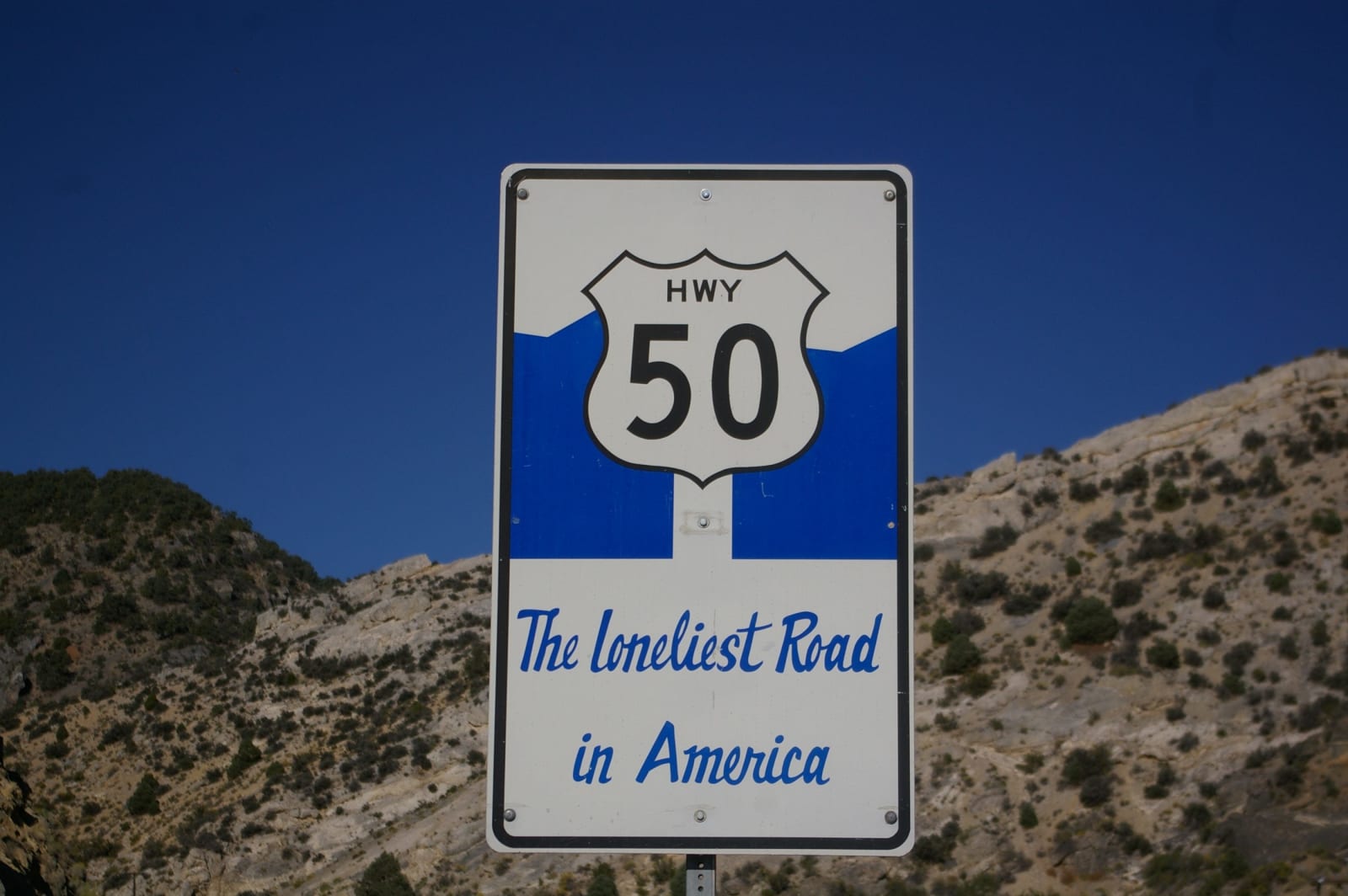
Davemeistermoab / CC BY-SA 3.0 via Wikimedia Commons
A 3-Day Itinerary
Nevada's Loneliest Road in 3 Days
The road Life magazine told you to skip — US-50 across the middle of Nevada, from the petroglyph fields outside Fallon over seventeen mountain ranges to the marble caves and bristlecone pines of the state's only national park.
3 days · 322 miles · best in summer & fall
Fallon, NV → Great Basin National Park (Baker, NV)
In July 1986, Life magazine called US-50 across Nevada the Loneliest Road in America and warned its readers not to attempt it without survival skills. Nevada took the insult, printed it on a passport, and turned the whole lonely run into a dare. This is that road in three days, west to east from Fallon — over one basin and one range after another, through silver towns that boomed and half-emptied and never quite died, to the marble caverns and five-thousand-year-old trees at the end. It was never dangerous. It is just empty in the way most of the country used to be, and the emptiness is the point: seventeen mountain ranges, almost no traffic, and a handful of towns that have made a virtue of being far from everything.
The drive, day by day
Press play to run the whole route, drag to any mile, or jump straight to a day. Every stop links to its own page.
Day 1 · Fallon over the ranges to Austin
Setting out from Fallon, NV · first stop Grimes Point
0 / 322
miles
1
Day 1
Fallon over the ranges to Austin
112 mi · about 2.5 hrs driving · overnight in Austin
Fill the tank in Fallon, grab a Survival Guide, and set out on the Loneliest Road. Ten miles east, Grimes Point scatters hundreds of carved boulders within a third-of-a-mile loop — the easiest rock art on the whole route. Further on, Sand Mountain rises six hundred feet straight out of the basin, a single dune that hums on a dry day. Then US-50 climbs Pony Canyon into Austin, a silver boomtown stacked on the grade that swelled past ten thousand people and never fully died. It is a small, storied place to spend the first night — lodging is limited, so book ahead.
2
Day 2
Petroglyphs, Eureka, and copper-town Ely
146 mi · about 3 hrs driving · overnight in Ely
East of Austin the road tops out in juniper and pinyon at Hickison Petroglyphs, a shaded summit with a short loop to Western Shoshone carvings and a good spot to picnic. Seventy miles on, Eureka is the best-preserved of the mining towns — a brick Main Street with a restored opera house and an 1870s courthouse — and it bills itself the Friendliest Town on the Loneliest Road. Reach Ely by evening, the largest town on the route, with two dozen downtown murals and a working steam railroad. Time it right and you can ride behind a 1910 locomotive; the excursions run weekends spring through January, and daily in high summer.
3
Day 3
Charcoal ovens and Great Basin
95 mi · about 2 hrs driving · overnight in Baker
Detour south of Ely to Ward Charcoal Ovens — six thirty-foot stone beehives standing in a silent basin, the best-preserved kilns in Nevada and the relic of the industry that fed every silver town on this road. Then run the last stretch east to Great Basin National Park, the reward at the end of the road and one of the least-visited parks in the country. Tour the marble rooms of Lehman Caves, drive up toward Wheeler Peak when the snow allows, walk out to trees that were old before the pyramids, and stay after dark for some of the blackest sky in the Lower 48. Sleep in Baker, or turn back toward Ely.
The drives this trip follows
Each one is traced end to end on its own page, with every stop worth making along the way.